James Spann: Cool night ahead for Alabama; big warm-up Wednesday
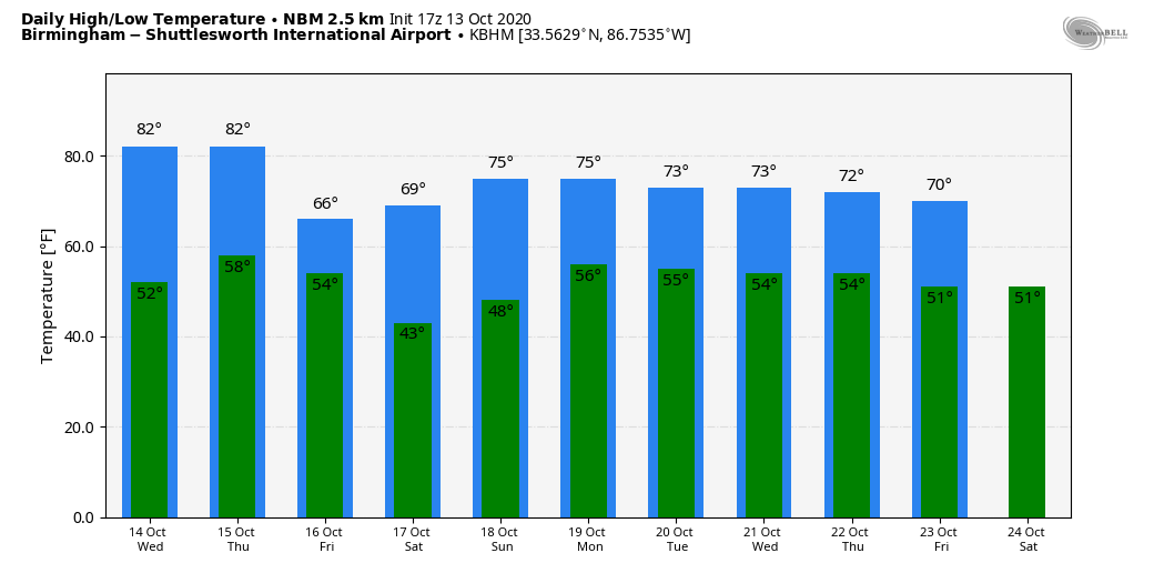
DRY DAYS: Temperatures are mostly between 77 and 81 degrees across Alabama this afternoon with sunshine in full supply. Tonight will be clear and cool; lows early Wednesday will drop into the 45- to 52-degree range.
Look for a nearly 40-degree temperature rise on Wednesday; after the cool start we rise into the mid 80s by afternoon with a sunny sky. Humidity will remain low. Thursday will be warm and dry with a high in the low to mid 80s, but a cold front will roll through the state Thursday night. A few isolated showers are possible over north Alabama along the front, but rain amounts, if any, should be very light. Then, look for a big change to cooler temperatures on Friday. The day will be sunny with a high only in the mid 60s, along with a cool north breeze.
THE ALABAMA WEEKEND: Saturday morning will be cold for October, with lows between 32 and 42 degrees for most north and central Alabama communities. Colder spots and protected areas will likely see some frost. Then, Saturday will be bright and sunny with a high around 70 degrees. Sunday remains pleasant, with ample sunshine and a high in the mid 70s, It looks like a picture-perfect fall weekend.
NEXT WEEK: Global models are now advertising a cold front passing through Monday with a chance of showers, followed by another shot of cooler air for midweek.
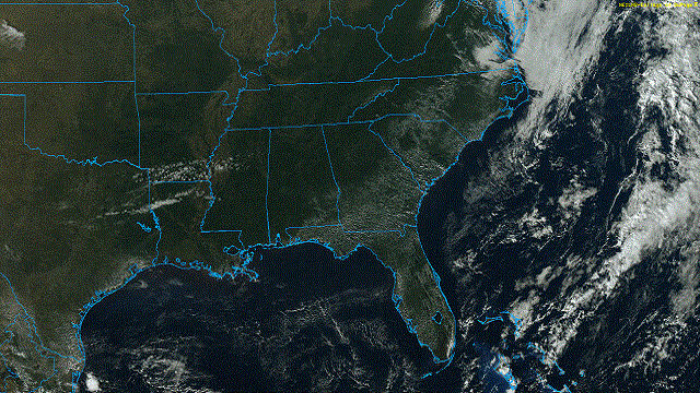
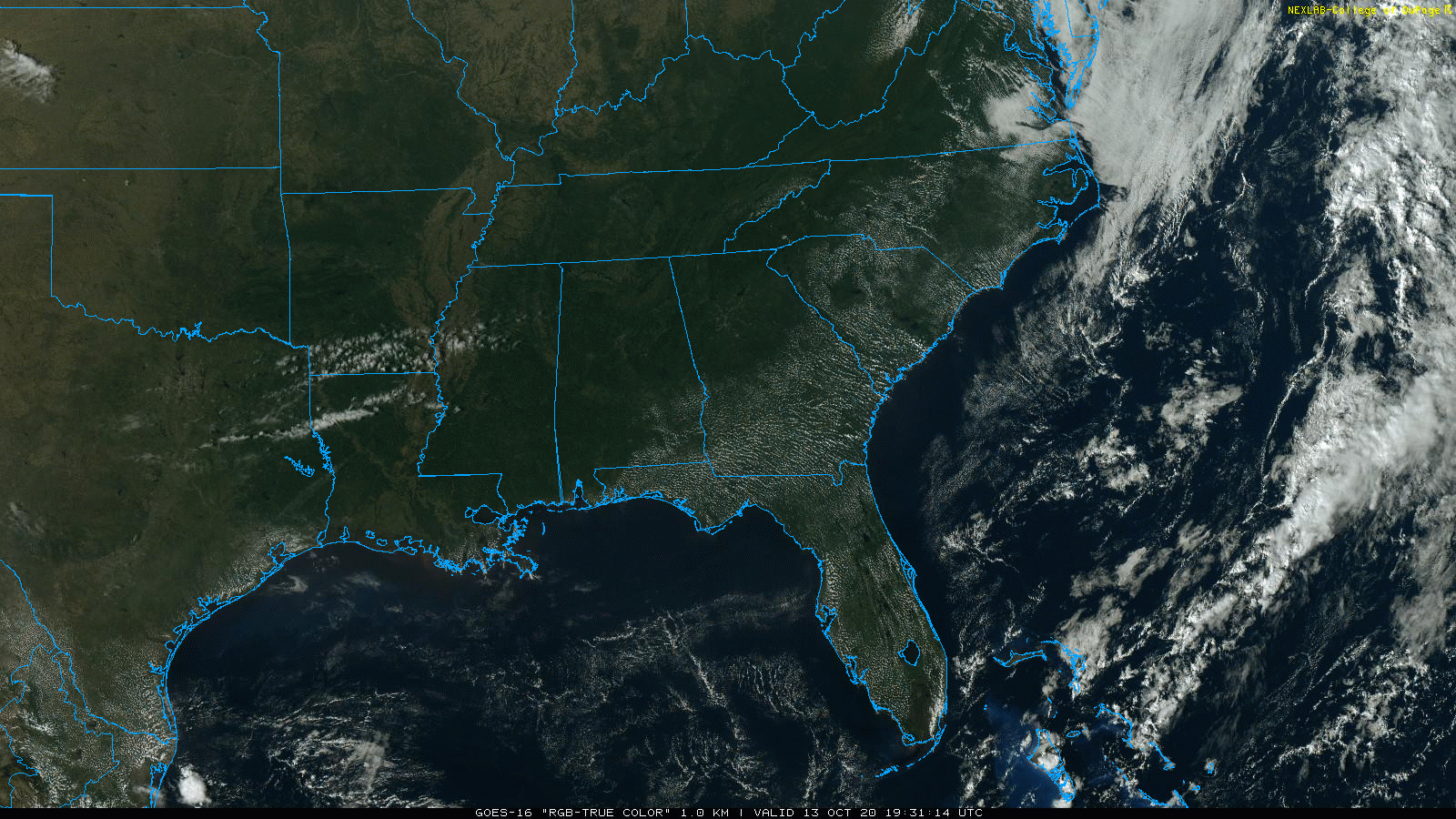
TROPICS: A broad area of low pressure associated with a tropical wave is about 400 miles east of the Windward Islands. Although the low continues to produce an area of showers and thunderstorms, that activity remains confined to the east of the center due to strong upper-level winds. In addition, recent satellite data indicate that the circulation is a little less defined than it was Monday. Some slight development of this system is still possible today while it moves westward to west-northwestward, but upper-level winds are expected to become even less favorable for development tonight and Wednesday.
FOOTBALL WEATHER: Friday night will be cool and dry for high school football games across Alabama. The sky will be clear, with temperatures falling from the upper 50s at kickoff into the upper 40s by the final whistle.
Saturday, Auburn travels to South Carolina to take on the Gamecocks in Columbiana (11 a.m. CT kickoff). The sky will be sunny, with temperatures rising from 62 at kickoff into the mid 60s by the fourth quarter.
UAB will host Western Kentucky at Legion Field Saturday (12:30 p.m. kickoff). Look for sunshine in full supply, with temperatures rising from 66 at kickoff to near 70 by the final whistle.
Alabama hosts Georgia at Bryant-Denny Stadium Saturday (7 p.m. kickoff). The sky will be clear, with temperatures falling from near 65 at kickoff into the mid 50s by the end of the game.
ON THIS DATE IN 2006: The October 2006 Buffalo storm was an unusual early-season lake effect snowstorm that hit the Buffalo, New York, area and other surrounding areas of the United States and Canada. Downtown Buffalo reported 15 inches from this event. Depew and Alden recorded 24 inches, the most from this lake effect storm.
BEACH FORECAST: Click here to see the AlabamaWx Beach Forecast Center page.
WEATHER BRAINS: You can listen to our weekly 90-minute show anytime on your favorite podcast app. This is the show all about weather featuring many familiar voices, including the meteorologists at ABC 33/40.
CONNECT: You can find me on the major social networks:
Facebook
Twitter
Instagram
Pinterest
Snapchat: spannwx
For more weather news and information from James Spann and his team, visit AlabamaWx.


