James Spann: Dry air for north Alabama today; showers persist to the south
James Spann has a look at Monday’s tornado damage and the Alabama forecast for today from Alabama NewsCenter on Vimeo.
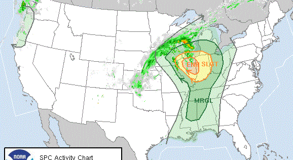
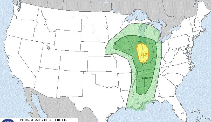
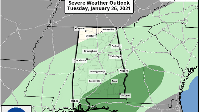
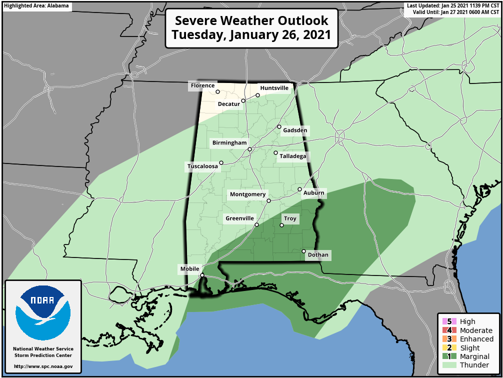
ON THE MAPS: A cold front is nearing U.S. 80 this morning; a band of showers persists ahead of the front. Those showers will continue to drift slowly southward today, and a few stronger storms are possible later across the southeast part of the state, where the Storm Prediction Center has defined a marginal risk (level 1 out of 5) of severe thunderstorms. Some of the heavier storms later today could produce gusty winds and some hail.
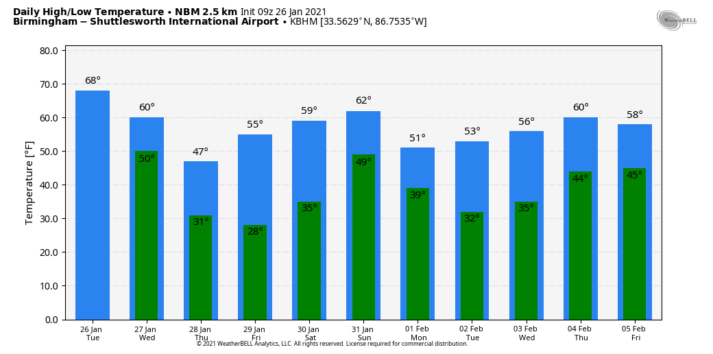
For the northern half of the state, the day will feature a mix of sun and clouds with a high in the 65- to 70-degree range. Clouds will increase later today as a wave of low pressure develops along the front to the west.
Rain returns statewide late tonight and into a part of the day Wednesday; there’s no risk of severe storms, and rain amounts should be less than one-half inch. As that rain ends Wednesday, colder air drops into the state. Temperatures will likely fall into the 40s over north Alabama by afternoon with a brisk north wind. The sky will clear Wednesday night.
THURSDAY/FRIDAY: These days feature a good supply of sunshine with cold mornings. The low early Thursday will be close to 30, and we expect mid 20s early Friday. The high will be in the 47- to 51-degree range Thursday, followed by mid 50s Friday.
THE ALABAMA WEEKEND: Saturday will be dry with a high around 60 degrees; we start the day with sun, followed by increasing clouds by afternoon. The next weather system will bring a batch of rain and possibly a few thunderstorms to the state Saturday night, followed by a clearing sky Sunday afternoon. For now severe storms don’t look likely with the weekend system, but we will keep a close eye on it in coming days.
NEXT WEEK: The weather will be dry for much of the week with seasonal temperatures — highs in the 50s and lows in the 30s. The next chance of rain will likely come Thursday night into Friday.
ON THIS DATE IN 1772: Possibly the greatest snowfall ever recorded in Washington started on this day. When the storm began, Thomas Jefferson was returning home from his honeymoon with his new bride, Martha Wayles Skelton. The newlyweds made it to within eight miles of Monticello before having to abandon their carriage in the deep snow. Both finished the ride on horseback in the blinding snow. The newlyweds arrived home late on the night of Jan. 26. In Jefferson’s “Garden Book,” he wrote “the deepest snow we have ever seen.”
BEACH FORECAST: Click here to see the AlabamaWx Beach Forecast Center page.
WEATHER BRAINS: You can listen to our weekly 90-minute show anytime on your favorite podcast app. This is the show all about weather featuring many familiar voices, including the meteorologists at ABC 33/40.
CONNECT: You can find me on the major social networks:
For more weather news and information from James Spann and his team, visit AlabamaWx.