James Spann: Alabama warms up Thursday, with some rain Thursday night
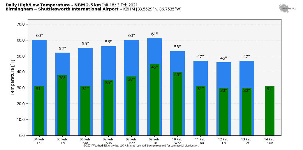
CLOUDLESS SKY: We have a cobalt blue sky over Alabama this afternoon with temperatures mostly between 50 and 55 degrees. Tonight will be clear; most places will see a low between 25 and 32 degrees early Thursday.
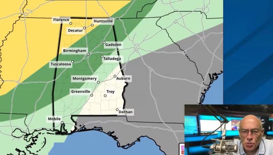
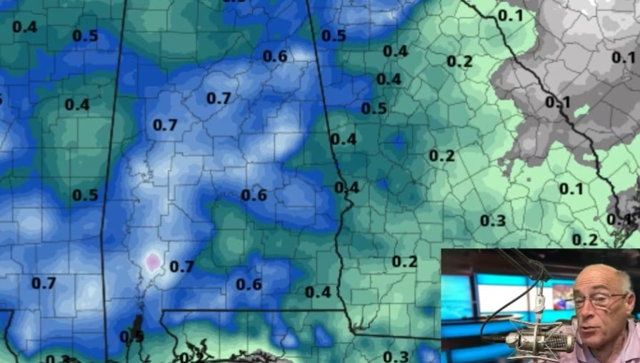
The sky becomes mostly cloudy Thursday, and the warming trend continues as temperatures reach the low 60s. Periods of rain are likely Thursday night ahead of a cold front; there will be no risk of severe storms and probably no thunder. Amounts will be one-half inch or less, and the rain ends very early Friday morning. During the day Friday the sky becomes partly sunny and the high will be in the low 50s.
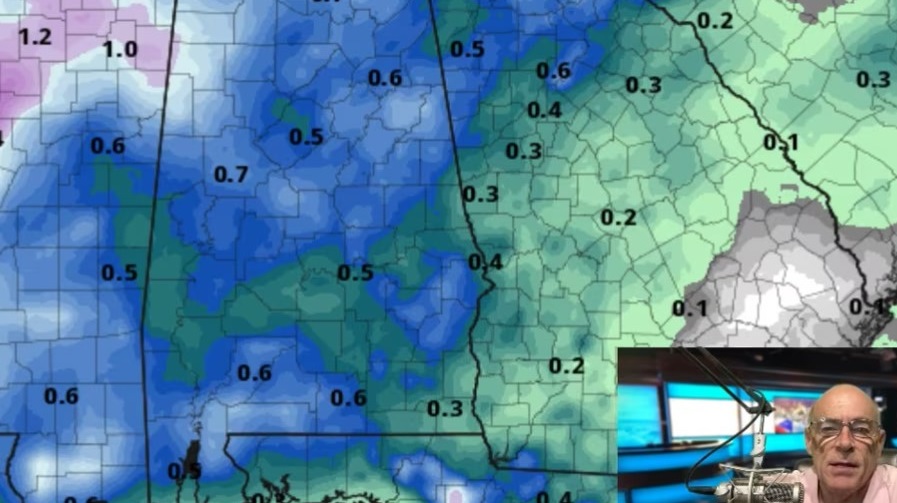
THE ALABAMA WEEKEND: For Saturday the day looks dry with a mix of sun and clouds and a high in the mid 50s. Some light rain is likely Saturday night; moisture will be limited and amounts likely will be less than a quarter-inch. There is a chance a few snowflakes could mix with the rain before ending early Sunday morning over the Tennessee Valley of far north Alabama, but if that happens we expect no impact with surface temperatures above freezing. During the day Sunday, the sky becomes partly sunny with a high in the upper 50s.
NEXT WEEK: Monday looks dry; after a low in the 30s we are now expecting a high between 60 and 65 degrees by afternoon, a far cry from the Arctic air advertised by global models a few days ago. Confidence in the forecast for the rest of the week is low, with little model agreement and an active wave pattern. New guidance hints at some light rain Tuesday, followed by drier, colder air for the rest of the week.
LONG-RANGE IDEAS: While the idea of Arctic air entering the Deep South next week is now off the table, we note very cold air will be looming north of here through next week. Temperatures this morning over Alaska were as cold as 40 degrees below zero, and that kind of air covers much of western Canada and the Arctic region. That air is heavy and at some point will have to move.
One run of the American GFS model today shows a big snow/ice event for Alabama in 10 days. You will see that plastered all over social media, but it is meaningless at this point. Having said that, the players are on the field for some potential winter mischief by midmonth. Arctic air and an active southern branch of the jet stream will be watched closely. We could go through the entire month of February without a winter storm threat; this is Alabama, after all. But it wouldn’t be a big shock if we have at least a chance of wintry precipitation within the next three weeks. We will see.
ON THIS DATE IN 1947: The record-low temperature for continental North America was recorded in Snag in the Yukon Territory, Canada. The temperature was 81.4 degrees below zero.
BEACH FORECAST: Click here to see the AlabamaWx Beach Forecast Center page.
WEATHER BRAINS: You can listen to our weekly 90-minute show anytime on your favorite podcast app. This is the show all about weather featuring many familiar voices, including the meteorologists at ABC 33/40.
CONNECT: You can find me on all of the major social networks:
For more weather news and information from James Spann and his team, visit AlabamaWx.