James Spann: Some rain for Alabama at times through Wednesday
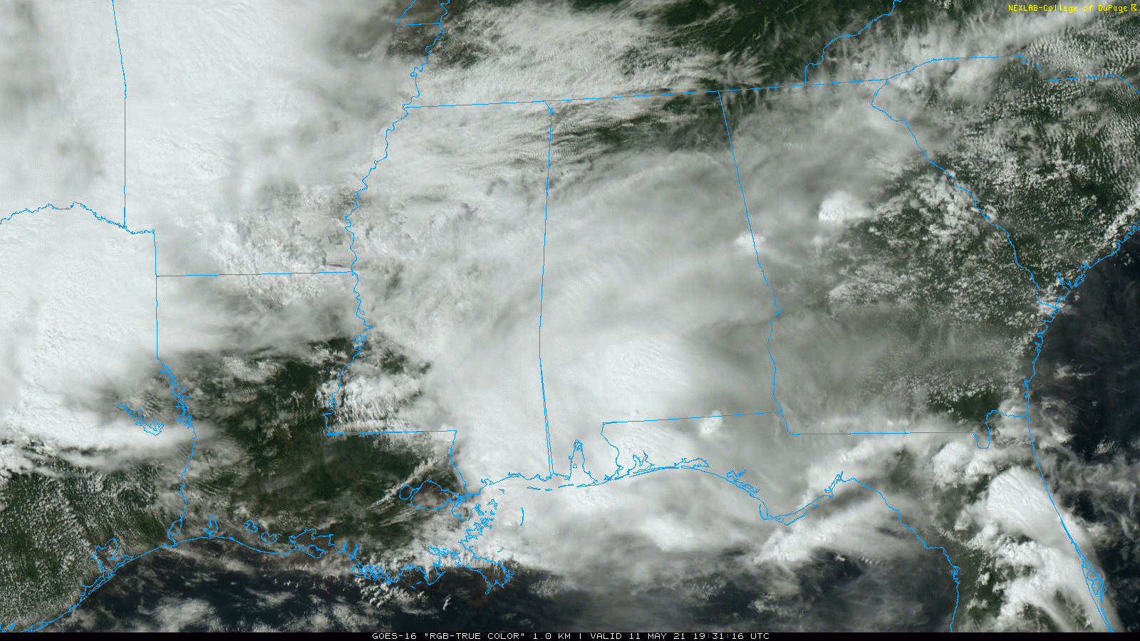
RADAR CHECK: Most of the rain across Alabama this afternoon remains over the southern counties, where a few thunderstorms are involved. The sky is cloudy over the rest of the state, although we are seeing a little sun over the Tennessee Valley. A stalled surface front is still hanging around just north of I-20.
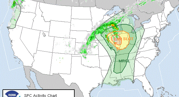
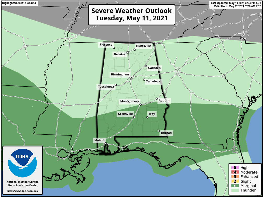
Periods of rain will remain possible across Alabama tonight, with potential for a few strong thunderstorms over the southern counties of the state, where the Storm Prediction Center maintains a low-end marginal risk (level 1 out of 5) of severe thunderstorms south of a line from Thomasville to Montgomery to Phenix City. A few storms there could produce small hail and strong, gusty winds.
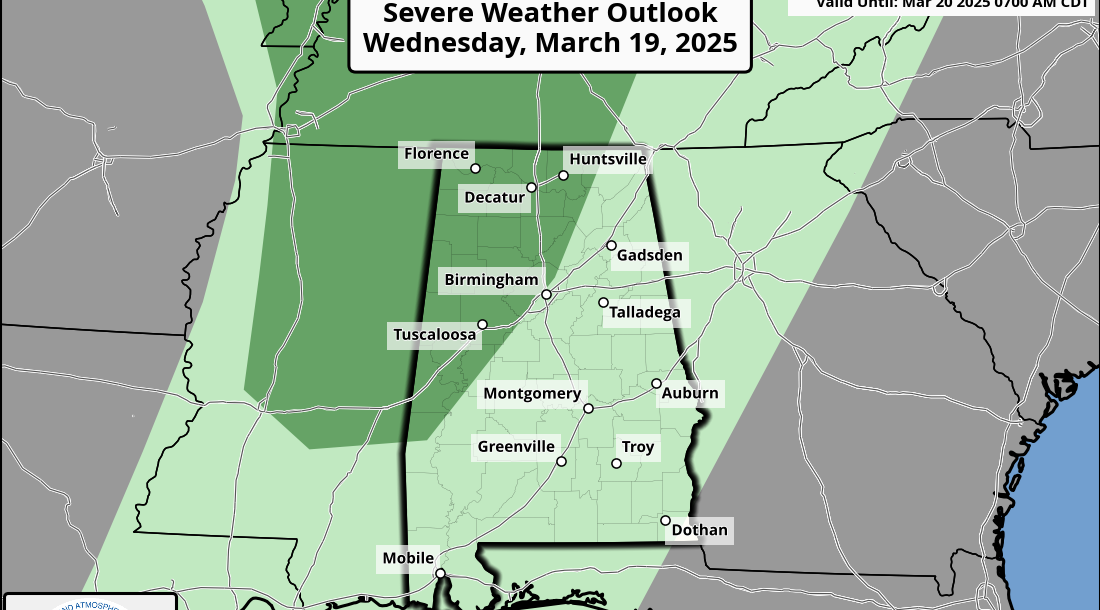
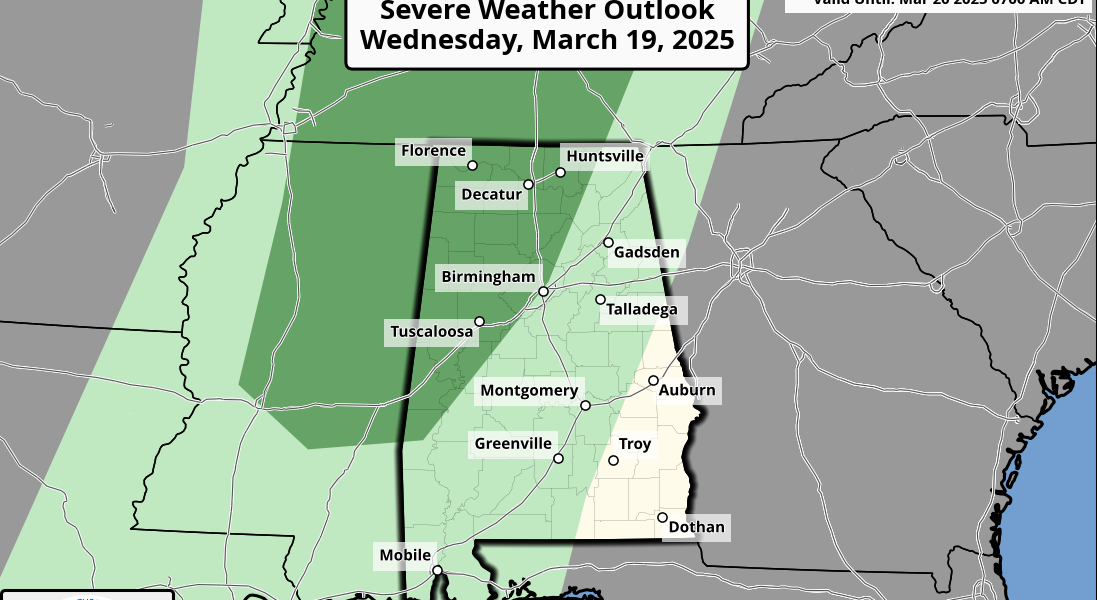
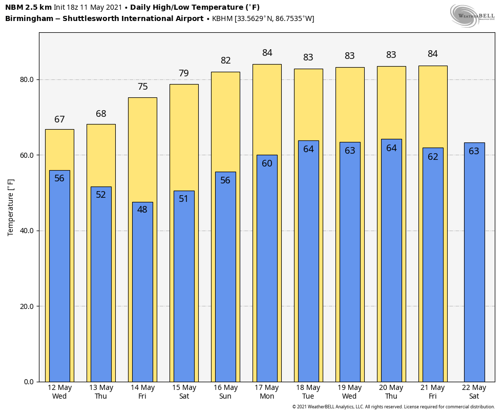
WEDNESDAY/THURSDAY: High-resolution models have struggled in this pattern, but they are suggesting fairly widespread rain across much of Alabama early Wednesday, followed by just a few scattered showers during the day. The sky will be cloudy, and temperatures over the northern half of the state won’t get out of the 60s as the front gets a nudge to the south. On Thursday, the day begins with clouds and a touch of light drizzle, but we could begin to see some clearing Thursday afternoon as drier air begins to work into the state. Temperatures remain below average, with highs in the 60s Thursday over north and central Alabama.
FRIDAY AND THE WEEKEND: Look for mostly sunny days, fair nights and a warming trend. The high will be in the low 70s Friday, between 77 and 80 Saturday and in the low 80s Sunday. It will be a very nice weekend.
NEXT WEEK: Moisture begins to return Monday, and we will introduce the chance of a few scattered showers. Showers and storms are more likely Tuesday and Wednesday, followed by a trend toward drier weather Thursday and Friday. The week will be warm, with highs mostly in the low to mid 80s.
ON THIS DATE IN 1934: A tremendous dust storm affected the Plains as the Dust Bowl era was in full swing. According to The New York Times, dust “lodged itself in the eyes and throats of weeping and coughing New Yorkers,” and even ships 300 miles offshore saw dust collect on their decks.
ON THIS DATE IN 1953: A violent F5 tornado ripped through downtown Waco, Texas, killing 114 people and injuring nearly 600 more. More than 850 homes, 600 businesses and 2,000 cars were destroyed or severely damaged. Losses were estimated at $41 million. The tornado was the deadliest in Texas history and the 10th deadliest in the U.S.
ON THIS DATE IN 2008: An EF-1 tornado touched down in Cleburne County in east Alabama, just south of Heflin. Hundreds of trees were either snapped off or uprooted along the path. Several structures sustained damage and at least six were destroyed. At least 35 homes sustained varying degrees of damage. No injuries were reported.
BEACH FORECAST: Click here to see the AlabamaWx Beach Forecast Center page.
WEATHER BRAINS: You can listen to our weekly 90-minute show any time on your favorite podcast app. This is the show all about weather featuring many familiar voices, including the meteorologists at ABC 33/40.
CONNECT: You can find me on the major social networks:
For more weather news and information from James Spann and his team, visit AlabamaWx.