James Spann: Warm, humid days with scattered showers, storms continue for Alabama
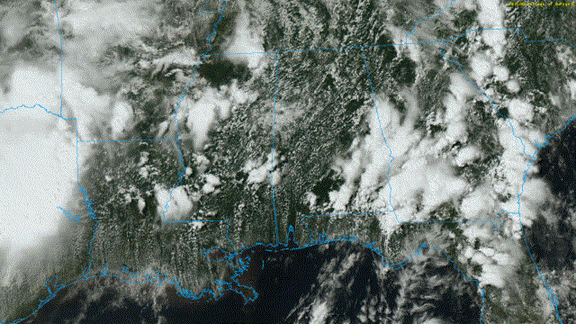
RADAR CHECK: Scattered showers and thunderstorms continue to develop across Alabama this afternoon. So far the greatest rain coverage has been across the southeast counties of the state. Thunderstorms are moving northeast, and the stronger ones are producing heavy rain, gusty winds and frequent lightning. Showers and storms remain possible tonight, but they should begin to fade after 10 p.m. as the air becomes more stable. Temperatures are mostly in the mid 80s this afternoon.
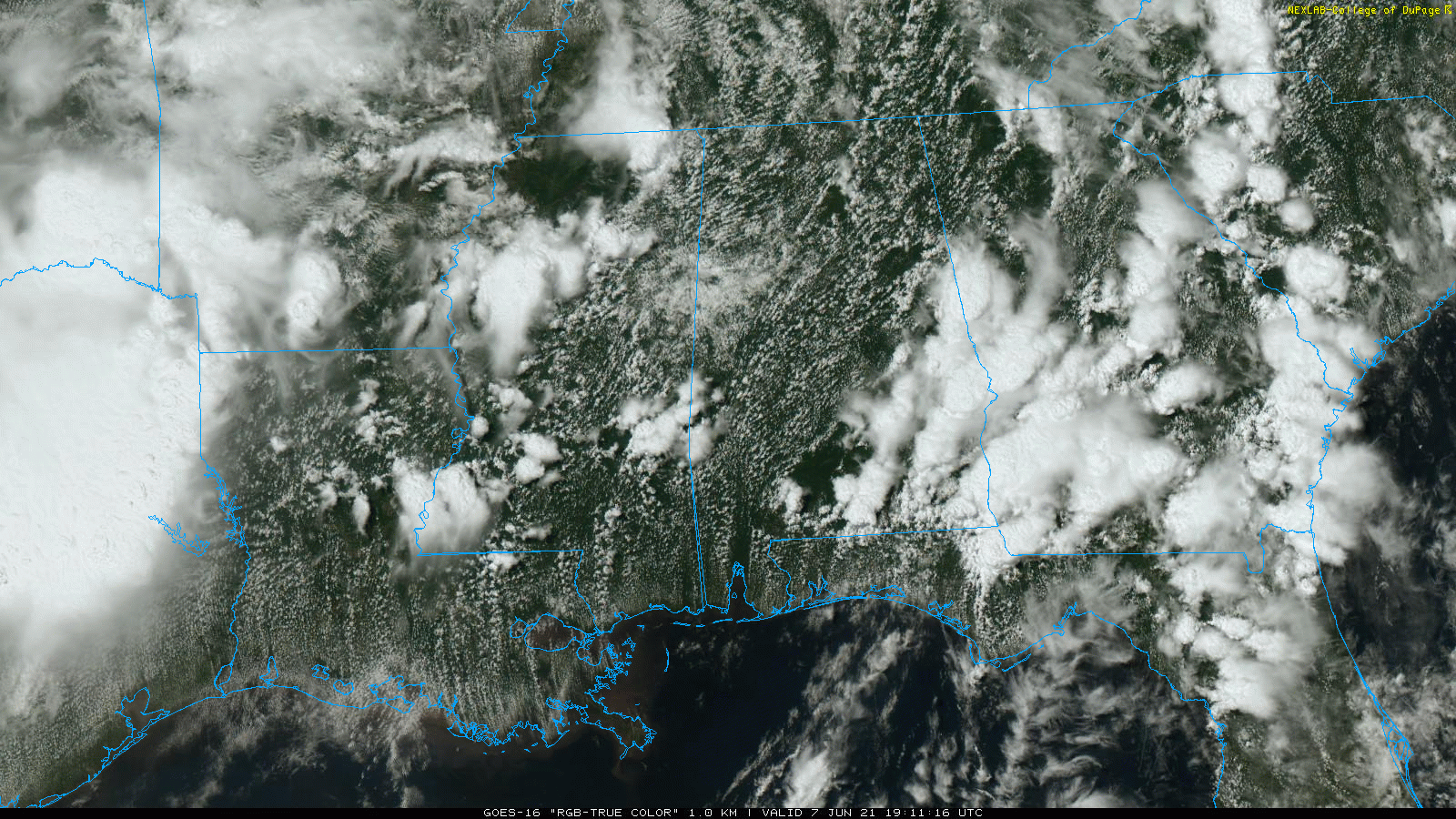
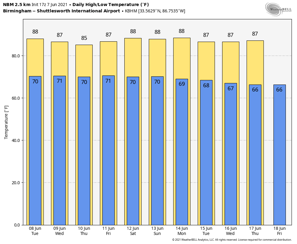
REST OF THE WEEK: The overall pattern won’t change much — a weak upper trough to the east and a warm, moist air mass in place across the region. Each day will have a mix of sun and clouds with scattered showers and thunderstorms. Most of the showers will come from around 1 until 11 p.m., but not necessarily all of them. A few late-night or morning showers can’t be ruled out in this pattern. Rain distribution will be very uneven due to the scattered nature of the rain and storms, but most places will see at least 1 inch over the next five days. Highs will be in the mid 80s, slightly below average for mid-June in Alabama.
THE ALABAMA WEEKEND AND NEXT WEEK: Quite frankly, there just isn’t much reason to see a big change in our weather. Surface and upper-air features suggest a continuation of warm, humid days with the daily round of scattered, mostly afternoon and evening showers and thunderstorms. The chance of any one spot getting wet each day will be 40-60%, and highs will hold in the 80s — just the kind of weather you expect in June in Alabama.
TROPICS: All remains quiet across the Atlantic basin today, but the National Hurricane Center will be monitoring the far southwest Caribbean later this week. An area of low pressure is expected to develop there by Thursday or Friday. Some gradual development will be possible thereafter as the system moves slowly northwestward toward Central America. We are also seeing signals for potential tropical mischief in the Gulf of Mexico next week from global models, but it’s way too early to be specific — just something to watch for now.
ON THIS DATE IN 1980: Thunderstorms caused downed trees and power lines as well as street flooding all across western New York. A wind gust of 79 mph was observed at greater Buffalo International Airport. Golf-ball-sized hail was reported north and east of the city.
BEACH FORECAST: Click here to see the AlabamaWx Beach Forecast Center page.
WEATHER BRAINS: You can listen to our weekly 90-minute show any time on your favorite podcast app. This is the show all about weather featuring many familiar voices, including the meteorologists at ABC 33/40.
CONNECT: You can find me on the major social networks:
For more weather news and information from James Spann and his team, visit AlabamaWx.


