James Spann: Showers remain isolated, temps below average in Alabama Thursday
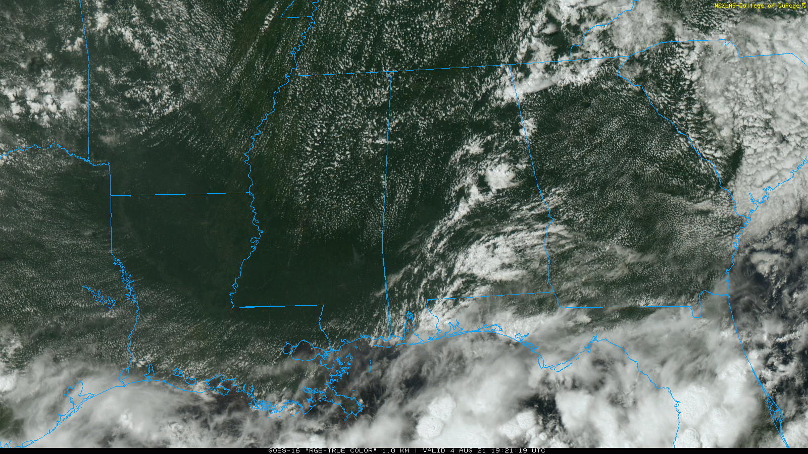
RADAR CHECK: We have a handful of small showers over eastern and southern Alabama this afternoon; otherwise the sky is partly sunny and hazy with temperatures mostly in the mid to upper 80s. The isolated showers will end after sunset.
The weather won’t change much Thursday; it will be partly sunny with a few isolated showers during the afternoon and evening. The high will remain between 85 and 89 degrees for most communities.
FRIDAY AND THE WEEKEND: An upper trough will bring an increase in the number of scattered showers and thunderstorms on these three days. Most of the showers will come from about 1 p.m. until 11 p.m., and the chance of any one spot getting wet will be 40-60% each day. Otherwise, look for a mix of sun and clouds with highs between 85 and 90 degrees, below average for August in Alabama.
NEXT WEEK: An upper ridge will build, meaning increasing heat levels and fewer showers. Highs through the week will be mostly in the low 90s, with potential for a few mid 90s along the way. Afternoon showers and storms should be widely scattered.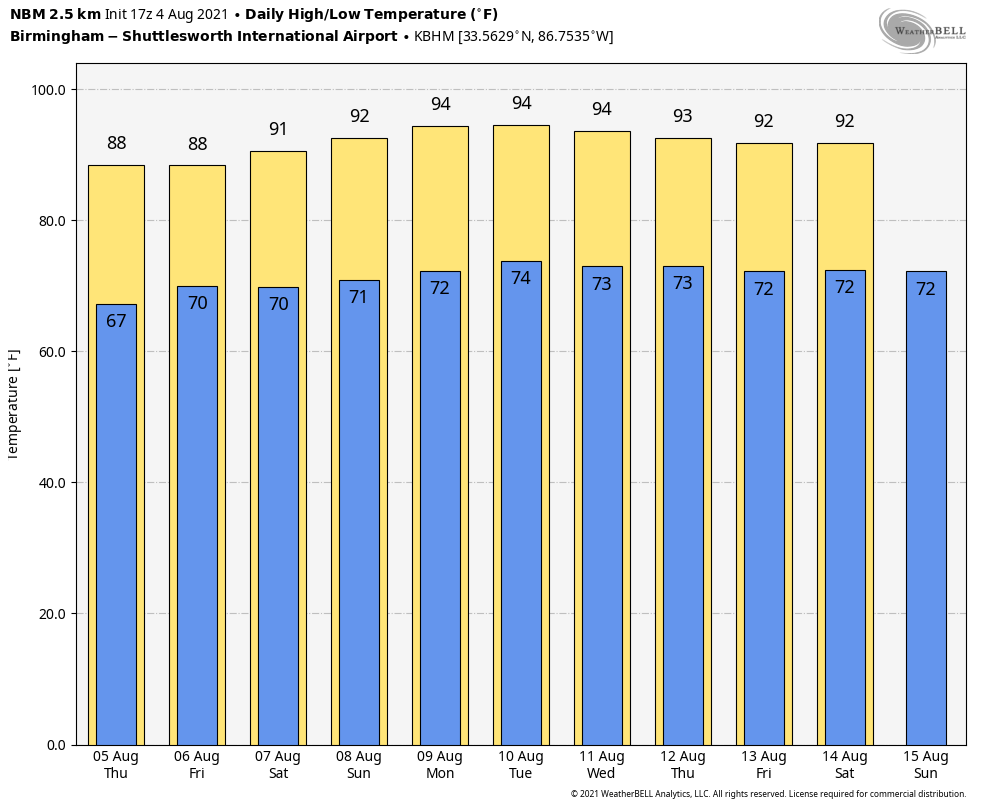
TROPICS: There are signs of life across the eastern part of the Atlantic basin. A tropical wave is forecast to move off the west coast of Africa by late Thursday. Environmental conditions appear somewhat conducive for gradual development thereafter over the far eastern tropical Atlantic through the weekend into early next week, while the system moves generally westward at about 15 mph. The chance of development over the next five days is 40%.
A tropical wave over the central tropical Atlantic is producing a broad area of disorganized showers and thunderstorms. Environmental conditions are expected to be marginally conducive for some slow development east of the Lesser Antilles by Sunday and into early next week while the disturbance moves west-northwestward at 10 to 15 mph. The chance of development with this feature over the next five days is 20%.
There are no systems near the Gulf of Mexico or the U.S. for now.
ON THIS DATE IN 2008: Severe storms moved across northern Illinois and Indiana with tornadoes and stiff winds reported. With tornado sirens blaring, the game at Wrigley Field between Cubs and Astros was stopped as fans were told to evacuate to the lower concourse. Passengers at O’Hare International Airport were evacuated to lower levels of buildings as well. An estimated 350 flights were canceled.
BEACH FORECAST: Click here to see the AlabamaWx Beach Forecast Center page.
WEATHER BRAINS: You can listen to our weekly 90-minute show any time on your favorite podcast app. This is the show all about weather featuring many familiar voices, including the meteorologists at ABC 33/40.
CONNECT: You can find me on the major social networks:
For more weather news and information from James Spann and his team, visit AlabamaWx.