Scott Martin: Strong to severe storms possible for Alabama today
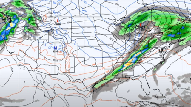
POTENTIAL FOR STRONG TO SEVERE STORMS: A strong cold front will be working through the state throughout the day that will bring rain and thunderstorms, some of which could be strong to severe, with the main threats being damaging thunderstorm wind gusts and a few tornadoes.
All of north Alabama is classified in a slight risk by the Storm Prediction Center, including the cities of Florence, Russellville, Athens, Decatur, Hartselle, Cullman, Huntsville, Guntersville, Scottsboro and Rainsville. Nearly all of central Alabama will also be included in the slight risk, including the cities of Hamilton, Tuscaloosa, Demopolis, Birmingham, Hoover, Clanton, Selma, Gadsden, Anniston, Talladega, Alexander City, Auburn and Montgomery. A marginal risk will be up for locations south of the I-85 corridor, including Troy and Eufaula.
The main window for the threat of strong to severe storms started in the extreme northwestern parts of the state around 4 a.m. and will end in southeastern Alabama around 6 p.m. Once the line of storms moves through your area, cooler and drier air will start to work in behind the line and the air will become stable.
A Wind Advisory is in effect until noon for all of north Alabama (Colbert, Cullman, DeKalb, Franklin, Jackson, Lauderdale, Lawrence, Limestone, Madison, Marshall and Morgan counties) and until 1 p.m. for the northern counties in central Alabama (Bibb, Blount, Calhoun, Cherokee, Cleburne, Clay, Etowah, Fayette, Jefferson, Lamar, Marion, Pickens, Randolph, Shelby, St. Clair, Talladega, Tuscaloosa, Walker and Winston counties).
Daytime highs will range from the mid-60s in the northwest to the upper 70s in the southeast. Temperatures will drop rather quickly behind the front, with overnight lows reaching the lower 30s to the mid-40s.
BEAUTIFUL WEATHER SUNDAY: High pressure will set up just to our north on Sunday that will clear out our skies, and we’ll be sunny with highs in the lower 50s to the lower 60s.
THE WORK WEEK AHEAD: Looks like we’ll stay dry as a calm weather pattern sets up across the deep South. Monday will be mainly sunny, with highs in the lower 60s to right around 70 degrees. Tuesday will feature mostly sunny skies and highs in the mid-60s to the lower 70s. Wednesday will be mostly sunny, with highs in the upper 60s to the mid-70s.
High pressure over the Southeast will keep a cold front from moving into the state on Thursday and Friday. While we’ll remain dry, a few clouds may invade the Alabama skies. Thursday’s highs will be in the upper 60s to the mid-70s, slightly dropping back into the mid-60s to the mid-70s on Friday.
ON THIS DATE IN 2010: The “Pineapple Express” – a meteorological event where southwest winds bring warm, moist air to the U.S. West Coast – produced record rainfall in the Pacific Northwest Dec. 11-12. Seattle experienced record daily rainfall two days in a row. The Seattle-Tacoma International Airport recorded 1.42 inches of rain on Dec. 11, breaking the old daily record of 1.32 inches set in 1955. The next day 2.19 inches fell, breaking the daily record of 1.7 inches set in 1966. The Stillaguamish River in western Washington state reached 21.06 feet at Arlington, tying the record set in November 2006. Flood stage for the river is 14 feet. The storm system also brought record warmth to the area. On Dec. 14, the temperature at Seattle-Tacoma International Airport reached 57, breaking the old daily record of 55 set in 2004.
For more weather news and information from James Spann, Scott Martin and other members of the James Spann team, visit AlabamaWx.


