Scott Martin: Pesky clouds hide the sun for most of Alabama
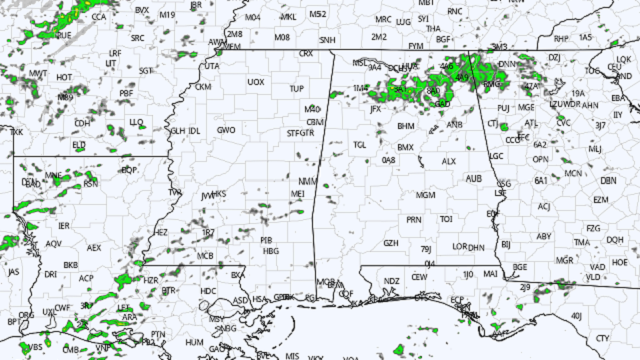

Skies across north and central Alabama remain partly to mostly cloudy, but that has not held back those afternoon temperatures, which are running in the upper 60s to the upper 70s. At 2 p.m. it was 78 degrees in Troy, while the cool spot was Haleyville at 67 degrees. Birmingham was sitting at 74 degrees. These temperatures are probably right at or just a degree or two under the afternoon highs. For now, radar is free from any detectable rainfall, but a few sprinkles are possible. Tonight will be mild with partly to mostly cloudy skies. Some locations in southeastern Alabama will have to deal with some patchy dense fog. Temperatures will drop only into the lower 60s.
 Tuesday’s weather will once again feature plenty of clouds, with only a few breaks of sunshine. Warm, moist air from the Gulf of Mexico will begin flowing across Alabama, which will bring a chance of isolated to scattered showers for much of the state, with the higher probabilities along and west of a line from Demopolis to Clanton to Anniston. Afternoon highs will range from the lower 70s in the north to the upper 70s in the south, with a few locations in extreme southeastern Alabama reaching 80 degrees. No thunderstorm activity is expected.

WEDNESDAY’S SEVERE WEATHER THREAT: The Storm Prediction Center continues to have much of north and central Alabama in a level 2 (out of 5) slight risk for severe storms on Wednesday, including all locations along and west of a line from roughly Selma to Montgomery to Heflin. A level 1 marginal risk is east of that for the rest of the state, except for the extreme southeastern corner.
Strong to severe thunderstorms will be possible across the risk areas starting Wednesday afternoon and will go through the evening and into late Wednesday night. Damaging thunderstorm wind gusts up to 60 mph will be the main threat, but a brief spin-up tornado or two cannot be ruled out. Much of this thunderstorm activity looks to be scattered. A short wave will move into the state late in the day that will provide just enough lift to get convective storms firing off, but better dynamics farther to the north will limit the potential for a larger tornado threat.
When not raining, skies will be mainly cloudy, with afternoon highs reaching the lower 70s to right around 80 degrees from northwest to southeast.

ANOTHER SEVERE THREAT FOR THE WEEKEND: Another round of strong to severe thunderstorms will be possible starting Saturday afternoon and persisting into Sunday morning, with the potential for all modes of severe weather. While it is too early to be confident on how high those threats will be, the Storm Prediction Center already has placed a good portion of north and central Alabama in the equivalent of a level 2 slight risk for severe storms on Saturday, roughly along and west of the I-59 corridor.
Models have shown some inconsistencies in the previous runs, but the last couple of runs have a more consistent look, which is starting to show that this system may be a little stronger than the one that will move through on Wednesday. However, we will need to get through Wednesday’s event before starting to focus on the weekend.
For more weather news and information from James Spann, Scott Martin and other members of the James Spann team, visit AlabamaWx.


