James Spann: Freeze ahead for most of Alabama tonight
WINTER PREVIEW: Despite sunshine in full force, temperatures are only in the 50s over the northern half of Alabama this afternoon. At 2 p.m., Birmingham reported 52 degrees, which is 23 degrees below the average high of 75 for Oct. 18. If we stay below 55 degrees, we will establish a new record-low maximum for the date (the last time it was this cold on Oct. 18 was in 1955, when the high was 55).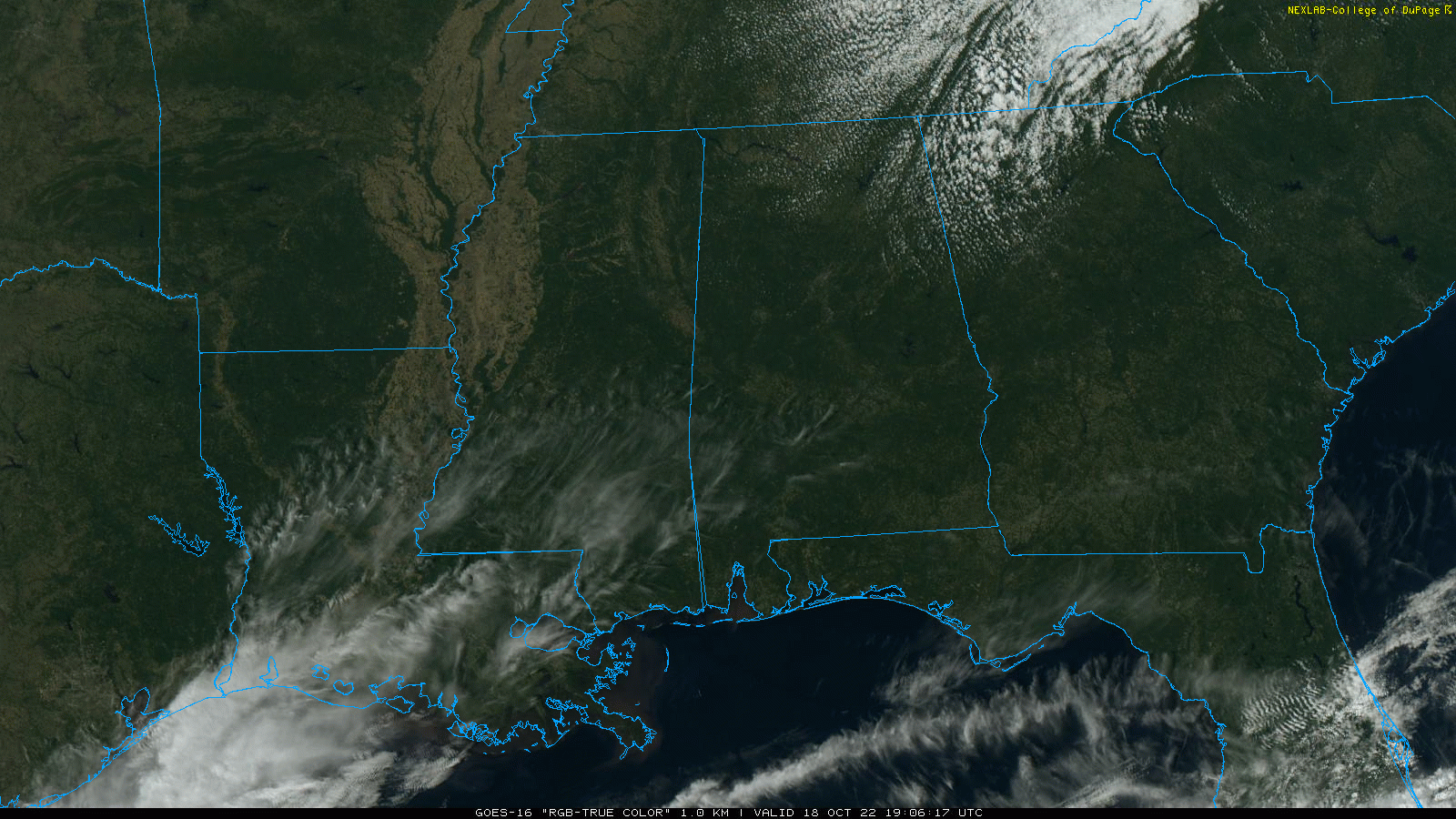
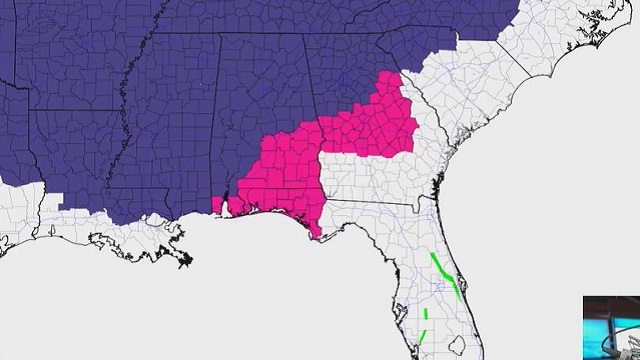
A freeze warning is in effect for most of the state tonight, all the way down to I-10 (including Mobile). The only part of the state not in the warning is the southeast corner, but even places like Dothan and Ozark should see plenty of frost. Lows early Wednesday will be between 25 and 32 degrees for most communities with a clear sky and diminishing wind.
New record lows will likely be established early Wednesday in some places. Here are the record lows for Oct. 19:
- Huntsville — 25 (1948)
- Tuscaloosa — 28 (1948)
- Birmingham — 29 (1948)
- Anniston — 30 (1948)
- Montgomery — 34 (1948)
- Mobile — 38 (1989)
Wednesday will be sunny with a high between 57 and 63 degrees; then another freeze is likely late Wednesday night and early Thursday morning. A warming trend begins Thursday afternoon as temperatures reach the mid 60s with a sunny sky.
FRIDAY AND THE WEEKEND: Look for sunny, pleasant days and clear, cool nights. The high will be in the low 70s Friday, followed by mid to upper 70s Saturday and Sunday. Morning lows will be in the 40s and 50s.
NEXT WEEK: While most of the week looks dry, a few showers will be possible Tuesday night into Wednesday thanks to an upper trough moving through. Rain amounts will most likely be light and spotty with limited moisture. Highs will be in the upper 70s Monday and Tuesday, and between 67 and 71 degrees Wednesday through Friday.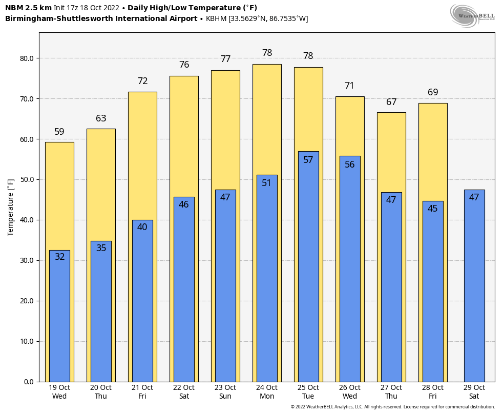 TROPICS: The Atlantic basin remains very quiet and tropical storm formation is not expected through the weekend. Hurricane season ends Nov. 30.
ON THIS DATE IN 1916: A likely Category 3 hurricane moved into the eastern part of the Alabama Gulf Coast, with landfall near Orange Beach and Perdido Key. The maximum wind velocity at Mobile was 115 mph from the east at 8:25 a.m. Pensacola had winds of 120 mph at 10:13 a.m. when the wind instrument tower was blown down.
ON THIS DATE IN 2007: A destructive fall tornado hit Nappanee, Indiana, causing extensive damage along its 20-mile path across northeast Marshall, northwest Kosciusko and southwest Elkhart counties. High-end EF3-intensity winds near 165 mph were estimated based on the most severe damage over southeast Nappanee.
BEACH FORECAST: Click here to see the AlabamaWx Beach Forecast Center page.
For more weather news and information from James Spann and his team, visit AlabamaWx.


