Scott Martin: Rain, some thunder for Alabama today, then a couple of days to dry out
TODAY: A center of low pressure will start off the day to our southwest and will move northeast throughout the day. We’ll have some light shower activity starting to move into western and northwestern Alabama during the latter part of the morning, with the bulk of the activity not moving into the state until around 4-6 p.m. Showers and storms will move through the state during the evening and overnight.
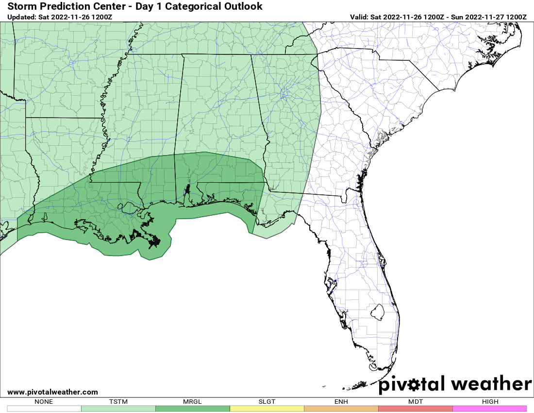
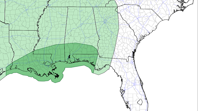
No severe weather is expected for north and central Alabama, but a couple of storms may become severe in south Alabama. The Storm Prediction Center has a level 1 marginal risk up for those locations. Highs will be in the mid to upper 60s.
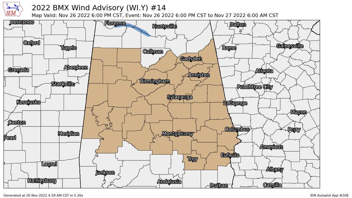
A wind advisory goes into effect tonight at 6 and will last until 6 a.m. Sunday for the potential of gusty winds up to 40 mph. So be sure to secure outdoor objects, especially those holiday decorations.
SUNDAY: Much of the activity will be out of here by sunrise on Sunday, but we can’t rule out a few leftover sprinkles over north and east Alabama. Skies will be partly sunny with highs in the lower 60s to the lower 70s.
NEXT WEEK: We’ll have pretty nice weather on Monday with mostly sunny skies and highs in the 60s.
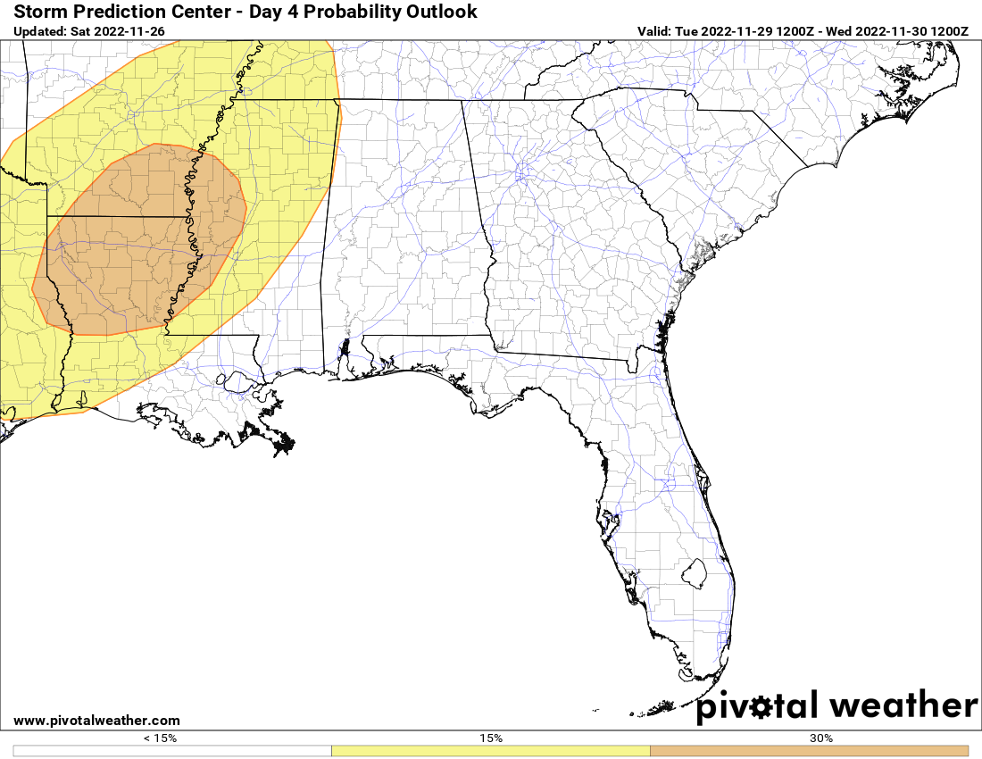
On Tuesday, a potent storm system will be heading in our direction that will bring an enhanced risk of severe storms to portions of Arkansas, Louisiana, Mississippi and Texas, with a slight risk reaching all the way to the Alabama state line. We’ll stay dry through the daylight hours, with showers and storms moving into northwestern Alabama by the evening. At this point no severe weather risks have been issued, but we’ll need to keep an eye on future outlooks. Highs will be in the mid 60s to the lower 70s.
That system will continue to work through Alabama on Wednesday, keeping rain and storms in the forecast. A few strong storms will be possible and one or two may become severe, with gusty winds being the main threat. Heavy rain will probably be the main story as some locations look to get well over an inch, potentially 2 inches. Highs will be in the mid 60s to the mid 70s.
Much cooler, drier air moves into the state for Thursday. Skies will be sunny with highs only in the upper 40s to the upper 50s for most. We’ll continue to stay dry on Friday, with mostly sunny skies and highs in the mid 50s to the mid 60s.
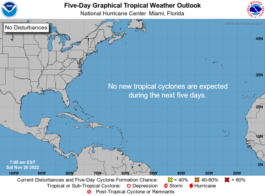
TROPICS: All is quiet across the Atlantic Basin and no new tropical systems are expected to form over the next five days. The Atlantic Hurricane Season ends Wednesday, Nov. 30.
For more weather news and information from James Spann, Scott Martin and other members of the James Spann team, visit AlabamaWx.


