Scott Martin: A few showers possible for Alabama Saturday, rain for most on Sunday
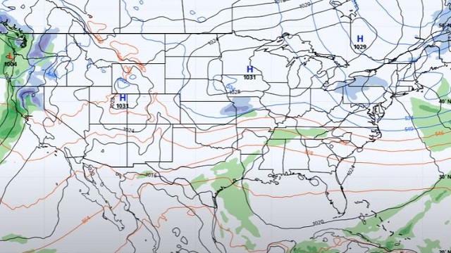
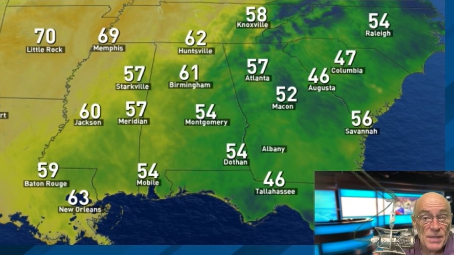
THE ALABAMA WEEKEND: A warm front will move northward through the state today that will bring an increase in moisture levels, but, at this point, most will stay dry through the daylight hours as a surface low with a cold front begins its approach. A few showers will become possible by afternoon for the northwest corner of Alabama and will eventually move southeastward to the I-59 corridor by midnight or just after. Highs will be in the upper 50s to the upper 60s.
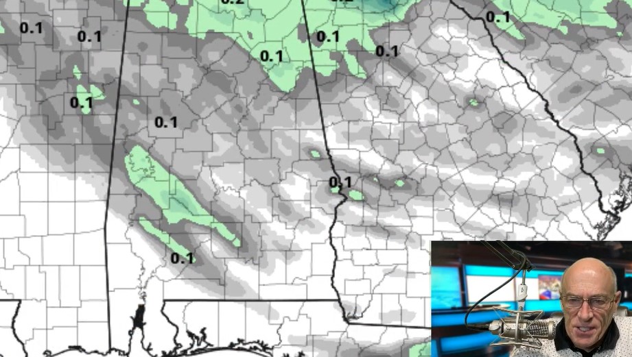
Rain will continue pushing across the state with the cold front on Sunday and will keep most locations damp through the daylight. Rain will exit the state late, and all looks to be dry by midnight. North and central Alabama could see one-half to 1 inch of rainfall; the south will range from none to just over one-quarter inch. Highs will be in the upper 50s to the mid 60s.
THE WORK WEEK AHEAD: High pressure will start working into the state on Monday, bringing us a nice day with mostly clear skies. Highs will be in the lower 50s to the lower 60s.
A little disturbance will move across the northern parts of the Southeast on Tuesday that may squeeze out a few raindrops over the Tennessee Valley and the extreme northern parts of central Alabama, but with dry air in place, it will remain mainly dry. Highs will be in the upper 50s to the mid 60s .
High pressure moves back in on Wednesday, keeping us dry with mostly sunny skies. Highs will be in the upper 50s to the upper 60s.
Another surface low will pull a cold front toward Alabama on Thursday that will bring rain and thunderstorms back into the forecast. Rain will become possible by afternoon, with heavier storms moving in during the evening and overnight. There will be some instability with this system. It is too early to tell whether severe weather will be possible, but the better dynamics will be close by and a strong low-level jet will be in place. We’ll keep you updated. Highs will be in the upper 50s to the upper 60s.
On Friday, rain and storms will move across and eventually exit the eastern half of the state through the morning, but a few wrap-around showers will be possible after that for the northern half of Alabama. Those will end by midnight. Highs will be in the lower 50s to the lower 60s.
For more weather news and information from James Spann, Scott Martin and other members of the James Spann team, visit AlabamaWx.
