Scott Martin: Dry Saturday for Alabama, then showers each day through Friday
By daybreak Sunday, rain will begin to move deeper into the state, with showers falling for nearly everyone by the early afternoon. Rainfall will pick up in intensity, especially across the southern half of the state, as one of two fronts moves through. Highs will be in the lower 50s to the mid 60s.
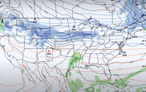
THE WORK WEEK: On Monday, the second front pushes through the state during the day. That will push the heavier rainfall out, but we will keep a small chance in the forecast during the late night. Highs will be in the upper 50s to the lower 70s.
The front will wash out over southern Alabama on Tuesday, which will allow another wave of showers to move in during the early morning and continue through the remainder of the daylight. Showers will move back in by late night. While rainfall doesn’t look too heavy, it will be a dreary day. Highs will be in the upper 40s to the lower 70s.
The front barely moves on Wednesday, and moisture continues to flow into Alabama. Rain will be likely again throughout the entire day and nighttime for the northern two-thirds of the state. Highs will be in the lower 50s to the lower 70s.
On Thursday, the front continues to hang out over southern Alabama, allowing more rain to move across the state. Highs will be in the upper 40s to the lower 70s.
On Friday, ridging to our west strengthens and helps to push much of the showers and stalled front out of Alabama. This latest run now shows some showers lingering around into the evening. Highs will be in the mid 40s to the upper 50s.
ON THIS DATE IN 1922: The “Knickerbocker” storm immobilized Washington, D.C. The storm produced 28 inches of snow in 32 hours, and the heavy snow caused the roof of the Knickerbocker movie theater to collapse, killing 96 people.
For more weather news and information from James Spann, Scott Martin and other members of the James Spann team, visit AlabamaWx.


