James Spann: Alabama temperatures in the 90s with storms hard to find
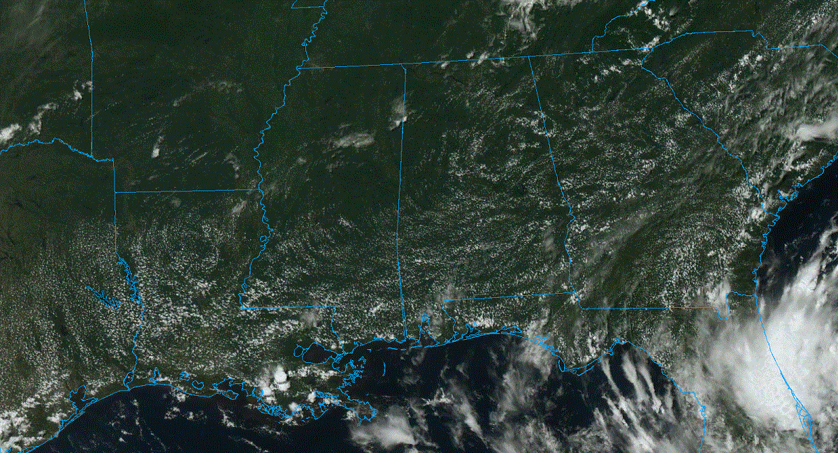
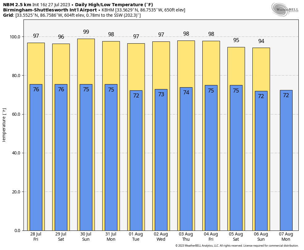
HOT SUMMER WEATHER: Showers are almost impossible to find across Alabama this afternoon; temperatures are mostly in the mid 90s. Tonight will be mostly fair with a low in the 70s.
The weather won’t change much Friday; it will be mostly sunny and hot, with highs in the 90s and only isolated afternoon thunderstorms. The number of showers and storms could increase a bit over the weekend thanks to a pocket of slightly colder air aloft, but the chance of any given location seeing rain is still fairly low, 25-35%.
NEXT WEEK: The ridge rules. Highs hold in the mid to upper 90s through at least the first half of the week with only isolated afternoon storms. We continue to see evidence the ridge will weaken a bit toward the end of the week, with slightly lower heat levels and slightly higher coverage of scattered showers and storms.
 TROPICS: A tropical wave is several hundred miles southwest of the Cabo Verde Islands. Conditions are expected to be favorable for gradual development of this system in a few days, and a tropical depression could form late this weekend or early next week while the system moves generally west-northwestward over the tropical Atlantic. The National Hurricane Center gives this system a 40% chance of becoming a tropical depression or storm over the next seven days.
Still no systems are expected near the Gulf of Mexico or the U.S. through next week.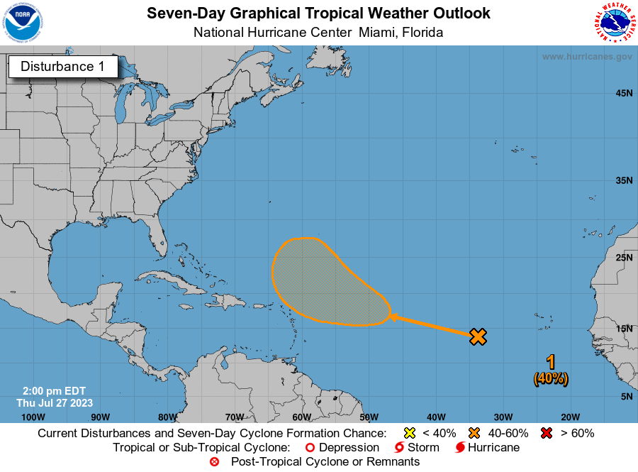 ON THIS DATE IN 1819: A hurricane affected the coast from Louisiana to Alabama. New Orleans was on the fringe of the storm and suffered no severe damage. Ships at the Balize experienced a strong gale for 24 hours that grounded three ships. Lakes Pontchartrain and Borgne rose 5 to 6 feet during the storm, with farms along the lakes flooded by the storm tide. Forty-one lives were lost on the U.S. Man of War schooner Firebrand, a 150-ton gunship.
For more weather news and information from James Spann and his team, visit AlabamaWx.


