James Spann: Strong storms over west Alabama this afternoon
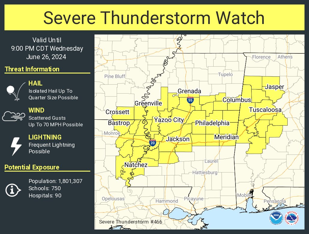
RADAR CHECK: Scattered showers and thunderstorms are over mainly the western half of Alabama this afternoon, and a few have reached severe limits, with potential for hail and strong winds. A severe thunderstorm watch has been issued for parts of west Alabama until 9 p.m.
Storms will fade away late tonight, and the sky becomes mostly fair with a low in the 70s.
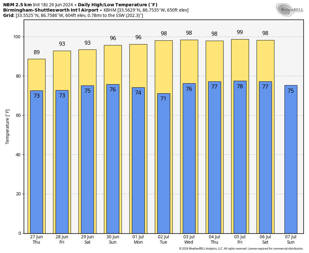
THURSDAY: Heat levels will come down, with a high between 89 and 94 degrees. The sky will be partly sunny with a few scattered showers and storms, mostly between 2 and 10 p.m.
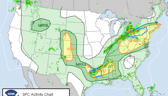
FRIDAY AND THE WEEKEND: Routine summer weather continues: partly sunny, hot, humid days with the usual risk of scattered showers and storms daily, generally during the afternoons and evenings. Highs will be in the 90s, and the chance of any given community seeing rain will be 40-60%.
NEXT WEEK: There is evidence the upper ridge will strengthen, meaning hotter afternoons and fewer showers for the first half of the week. Highs return to the upper 90s. A few afternoon showers and storms are still possible, becoming a little more numerous by Independence Day and Friday (but no washout; the typical summer stuff).
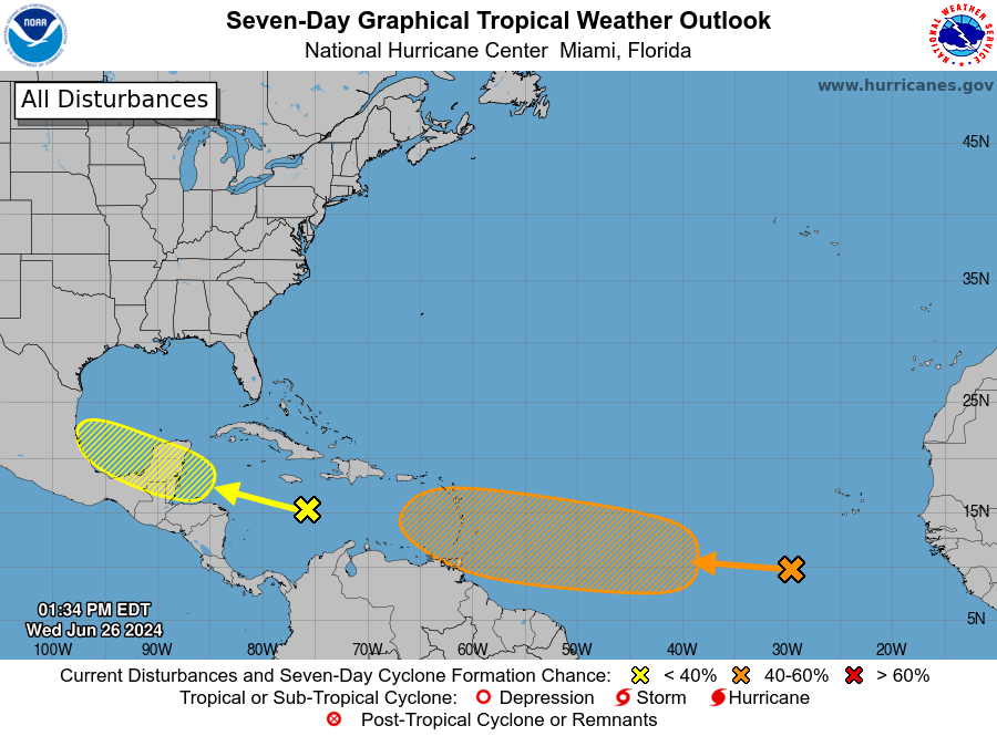
TROPICS: A tropical wave over the central Caribbean Sea is producing disorganized shower activity while it moves rapidly westward at around 25 mph. Environmental conditions could become more conducive for some gradual development in a couple of days over the western Caribbean Sea or over the southwestern Gulf of Mexico during the weekend. If anything forms here, it will likely move into Mexico, and the National Hurricane Center gives it only a 20% chance of development over the next seven days.
Out in the eastern Atlantic, a tropical wave a few hundred miles southwest of the Cabo Verde Islands is producing disorganized showers and thunderstorms. Some development is possible during the next several days, and a tropical depression could form over the tropical Atlantic by the end of the week or this weekend while the system moves westward at 15 to 20 mph. The chance of development is up to 40%.
No tropical storms or hurricanes are expected near the central Gulf Coast (Gulf Shores to Panama City Beach) for the next 10 days.
ON THIS DATE IN 1986: Hurricane Bonnie made landfall on the upper Texas coast. A wind gust to 98 mph occurred at Sea Rim State Park. Ace, Texas, recorded 13 inches of rain.
For more weather news and information from James Spann and his team, visit AlabamaWx.


