James Spann: Unsettled pattern for Alabama through next week

James Spann forecasts daily chances of rain for Alabama into next week from Alabama News Center on Vimeo.
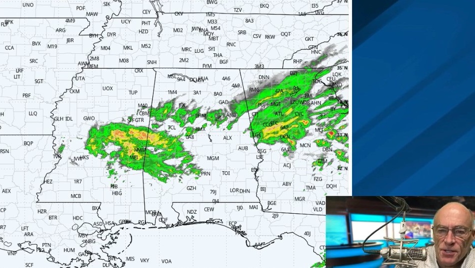
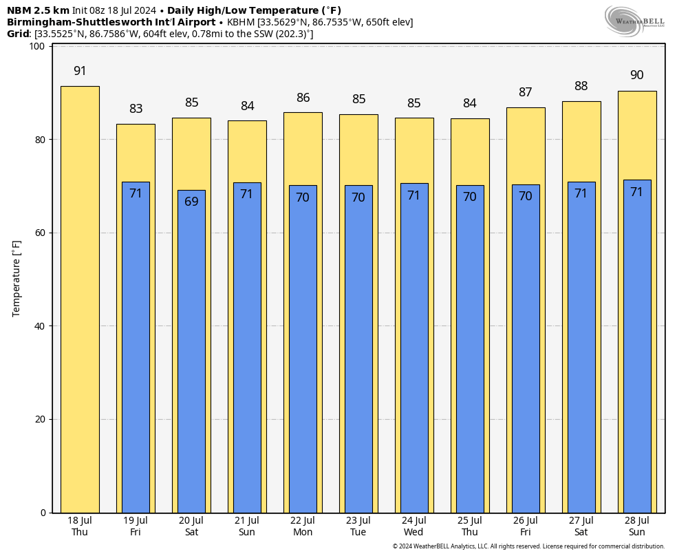
WET, UNSETTLED PATTERN AHEAD: We have a few spotty showers over north Alabama early this morning, but the main round of showers and storms will come in the noon-to-midnight time frame as an upper trough beats down the heat ridge. Any one location has a 50-60% chance of seeing rain today with a high not too far from 90 degrees. The average high for Birmingham on July 18 is 91.
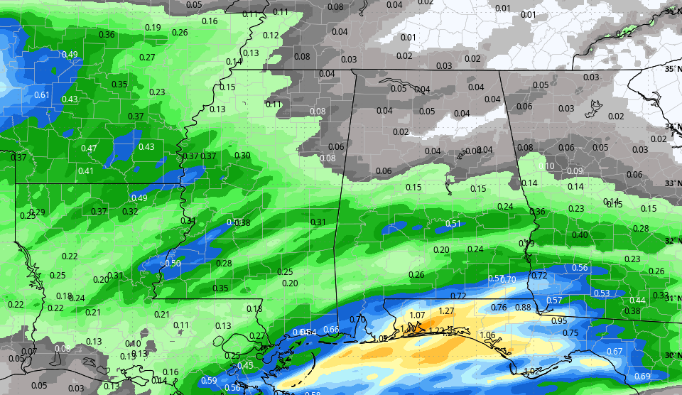
FRIDAY THROUGH THE WEEKEND: The weather will be wet at times as an unsettled pattern develops. Expect a mostly cloudy sky with occasional showers and thunderstorms Friday through the weekend. It won’t be a total washout, and the sun will be out at times. Because of the clouds and showers, highs will be only in the 83- to 86-degree range.
The pattern won’t change next week. With an upper trough nearby and a moist, unstable air mass in place, occasional showers and storms are likely daily through the week. Average rain amounts for Alabama over the next seven days will be 2-4 inches, very beneficial for midsummer. It is unusual for us to see this much rain without a tropical system involved. Because of the clouds and showers, daytime temperatures will remain below average, with highs in the 80s.
 TROPICS: It’s another very quiet day across the Atlantic basin, and tropical storm formation is not expected at least for the next seven days. But the peak of the season is still ahead, in August, September and early October.
ON THIS DATE IN 1986: In the afternoon, an F2 tornado that touched down in the northern suburbs of Minneapolis became one of the most observed and photographed tornadoes ever. The detailed coverage included video from a Minnesota Department of Transportation traffic camera and a remarkable aerial video taken from a helicopter by a television camera crew
ON THIS DATE IN 1996: A massive rainstorm in north central and northeast Illinois led to widespread flooding. Aurora reported 16.94 inches of rain, establishing a state record for a single day. Other heavy totals included 13.6 inches at Joliet, 9.24 inches in Wheaton, 8.09 inches in DeKalb and 7.82 inches at Elgin. This event is often called the second-most damaging weather disaster in Illinois history.
For more weather news and information from James Spann and his team, visit AlabamaWx.