James Spann: Nice warm-up for Alabama today
James Spann: Quiet weather pattern continues for Alabama this week from Alabama NewsCenter on Vimeo.
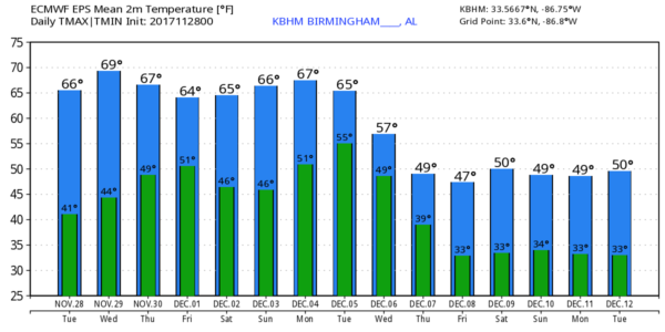
COLD START: A number of communities are below freezing early this morning; we are seeing upper 20s at places like Gadsden and Pell City; other places are in the low to mid 30s. The sky is clear, and today will be sunny with a very nice warm-up. The high this afternoon will be in the 66- to 69-degree range. The average high for Nov. 28 at Birmingham is 61.
Clouds will increase tomorrow as a wave aloft approaches, but the day should be dry with a high back in the upper 60s.
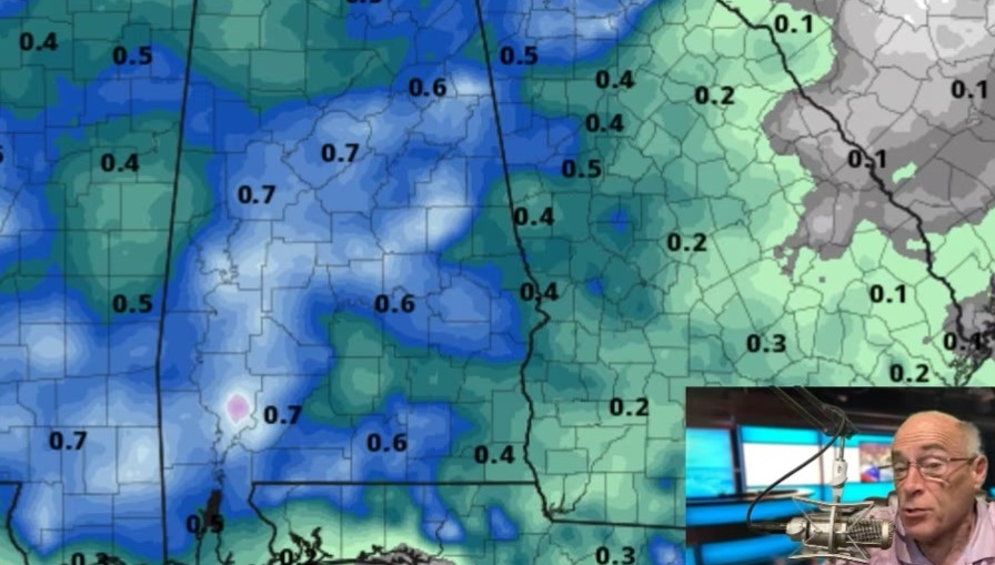
SHOWERS THURSDAY: A cold front will approach and give us a chance of showers Thursday. We could really use some rain; today is the 10th consecutive day with no rain for much of the state. But rain on Thursday will be pretty light and spotty, with only limited moisture and weak dynamic forcing. Most communities will see less than one-tenth of an inch.
FRIDAY AND THE WEEKEND: While a few showers could linger over the southern half of Alabama Friday, the northern counties should be dry with a high in the 60s. Saturday and Sunday look rain-free with highs generally in the 60s and lows in the 40s.
FOOTBALL WEATHER: For the high school playoff games Friday evening, the sky will be mostly fair with temperatures falling through the 50s.
For Auburn fans headed to Atlanta and the SEC Championship game Saturday against Georgia (3 p.m. Central kickoff), there will be no weather worries, of course, inside Mercedes-Benz Stadium, but for those walking to the game the sky will be mostly cloudy, there is a chance of widely scattered showers, and afternoon temperatures should be in the 60s.
Jacksonville State hosts the Kennesaw State Owls Saturday at Burgess–Snow Field (1 p.m. kickoff). The sky will be partly sunny with temperatures in the 60s during the game.
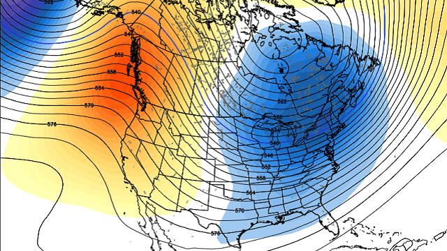
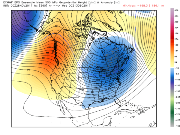
NEXT WEEK: There is some model spread, but the overall idea has some good consistency. The reliable European model pushes a cold front into Alabama Tuesday with a chance of showers and thunderstorms, followed by sharply colder air over the latter half of the week. The pattern suggests an upper trough could set up over the eastern third of the nation and stick around because of a blocking pattern, meaning occasional cold shots for Alabama and the Deep South through December. It’s too early, of course, for specifics.
BEACH FORECAST: Click here to see the AlabamaWx Beach Forecast Center page.
WEATHER BRAINS: You can listen to our weekly 90-minute netcast anytime on the web, or on iTunes. This is the show all about weather featuring many familiar voices, including meteorologists at ABC 33/40.
CONNECT: You can find me on all of the major social networks:
Facebook
Twitter
Google Plus
Instagram
Pinterest
Snapchat: spannwx
For more weather news and information from James Spann and his team, visit AlabamaWx.