James Spann: Wet, unsettled weather for Alabama through early next week
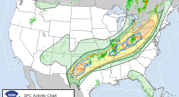
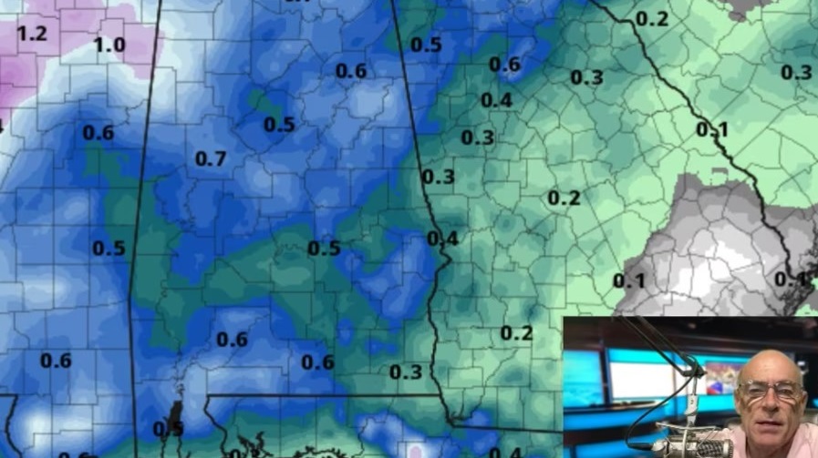
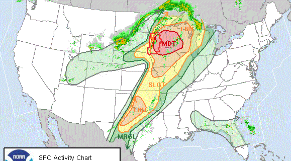
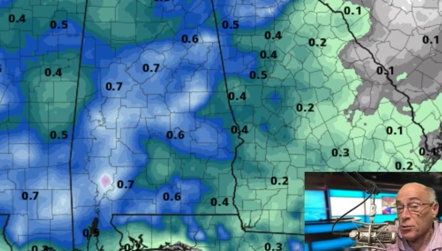
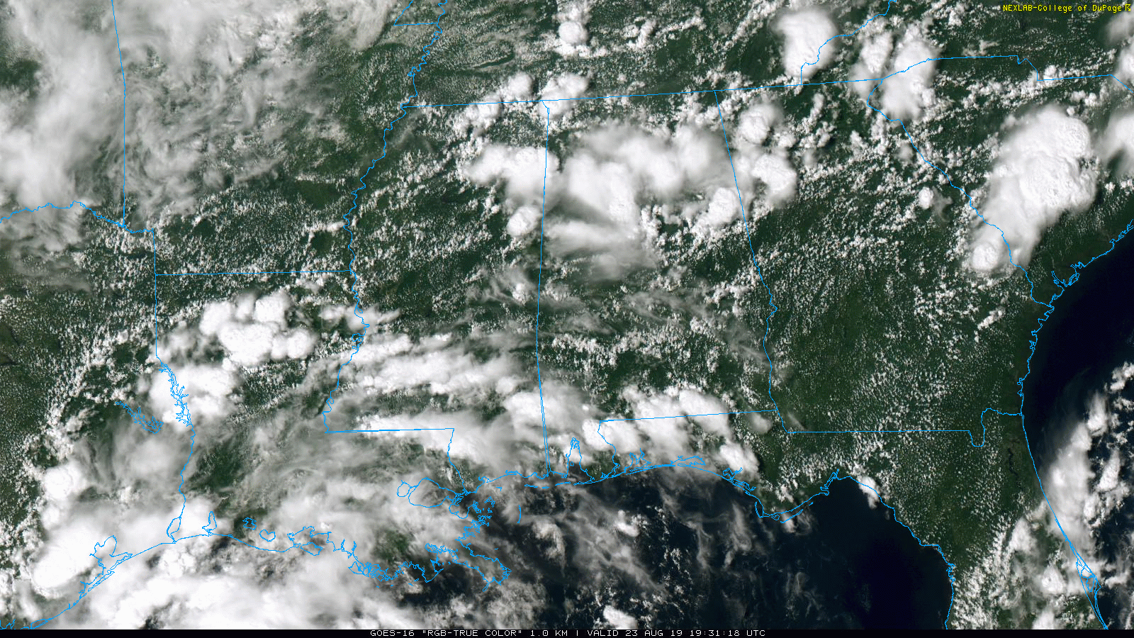
ACTIVE AFTERNOON: Clusters of showers and thunderstorms continue to move eastward across Alabama this afternoon; a flash flood warning is in effect for parts of Jefferson and Shelby counties, the southeast part of the Birmingham metro; radar suggests 2 to 3 inches of rain has fallen in this area.
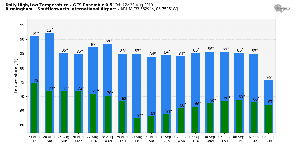
FOOTBALL TONIGHT: The rain this afternoon is helping to make the air more stable, but we will maintain a chance of at least scattered showers and thunderstorms across Alabama tonight during high school football games. It won’t rain at every stadium, but in some places a lightning delay could be necessary. I would take the rain gear; temperatures will be around 80 degrees for kickoff at most game sites.
THE ALABAMA WEEKEND: The sky will feature more clouds than sun Saturday and Sunday with occasional showers and thunderstorms both days. Most of the rain will come from noon until midnight, but we can’t rule out a late-night or morning shower. Highs over the weekend will be generally in the mid 80s with only a limited amount of sun.
NEXT WEEK: Showers and thunderstorms remain likely Monday and Tuesday, but they thin out Wednesday, and the latest run of the American global model (the GFS) suggests Thursday and Friday will be dry with lots of sun, lower humidity and cooler nights. Some spots could dip into the 50s by Friday morning, Aug. 30.
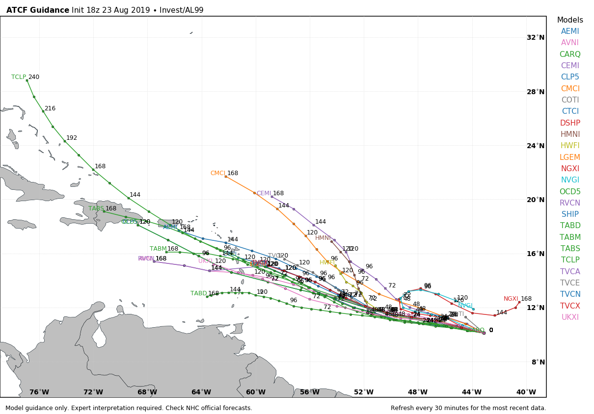
TROPICS: The Atlantic basin is finally coming alive. We have three areas to watch:
- TROPICAL DEPRESSION CHANTAL: This depression, far from land in the North Atlantic, is expected to dissipate within 24 hours.
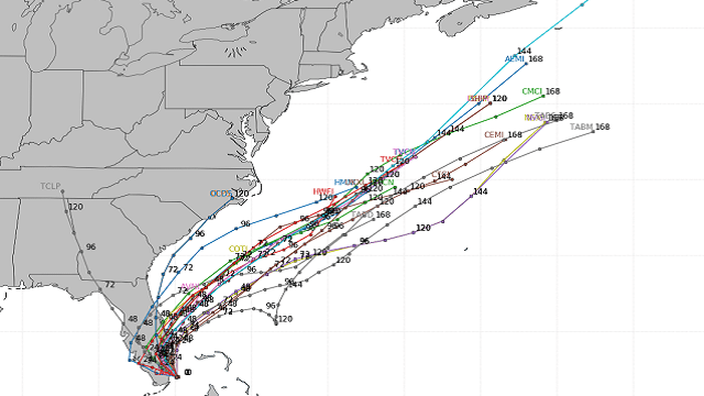
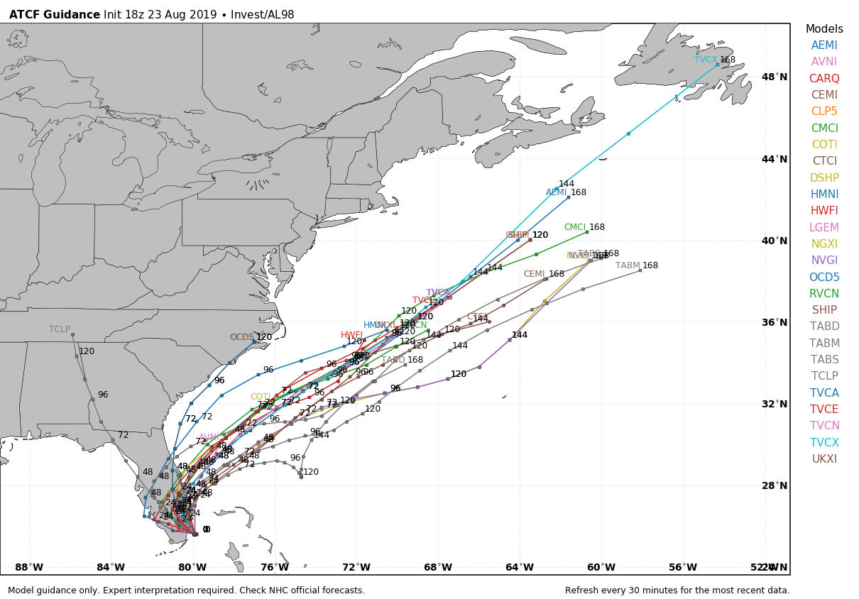
- INVEST 98L: The disturbance near the southern tip of Florida is forecast to become a tropical depression or storm within the next 24 hours; it will move northeast, into the open Atlantic, but it will bring heavy rain to parts of the Florida Peninsula (not the panhandle) through Saturday and rough surf to the South Atlantic coast of the U.S.
- INVEST 99L: A wave in the Atlantic, between the coast of Africa and the Lesser Antilles, is expected to become a depression or storm within the next few days as it moves west/northwest. It’s way too early to know where this will recurve into the westerlies, and the final destination, but it’s certainly one to watch.
ON THIS DATE IN 1992: While South Florida residents were preparing for Hurricane Andrew, folks in western Montana were dealing with early-season snowfall. Some amounts included 8.3 inches in Great Falls, 6.2 inches in Helena and 5.1 inches in Cut Bank. This is the first significant snowfall on record in western Montana in August.
ON THIS DATE IN 2005: Hurricane Katrina formed from Tropical Depression Twelve over the southeastern Bahamas. Katrina would become the costliest ($81.2 billion) and one of the most deadly hurricanes (1,836 lives) in U.S. history.
BEACH FORECAST: Click here to see the AlabamaWx Beach Forecast Center page.
WEATHER BRAINS: You can listen to our weekly 90-minute show any time on your favorite podcast app. This is the show all about weather featuring many familiar voices, including the meteorologists at ABC 33/40.
CONNECT: You can find me on all of the major social networks:
Facebook
Twitter
Instagram
Pinterest
Snapchat: spannwx
For more weather news and information from James Spann and his team, visit AlabamaWx.