James Spann: A few strong storms for Alabama late tonight
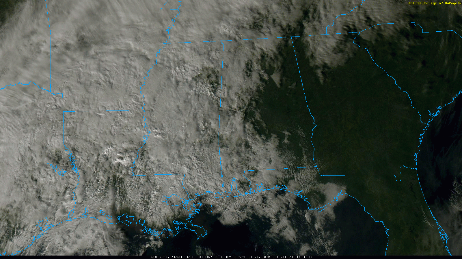
RADAR CHECK: Showers are over the far northwest corner of Alabama this afternoon, but the sky remains mostly sunny over the eastern counties. Temperatures are generally in the 67- to 72-degree range, very pleasant for late November.
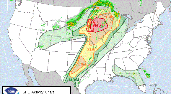
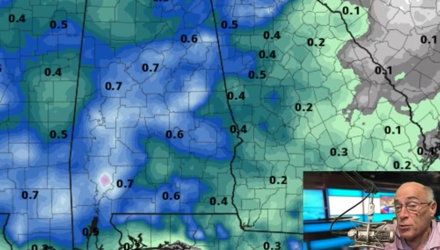
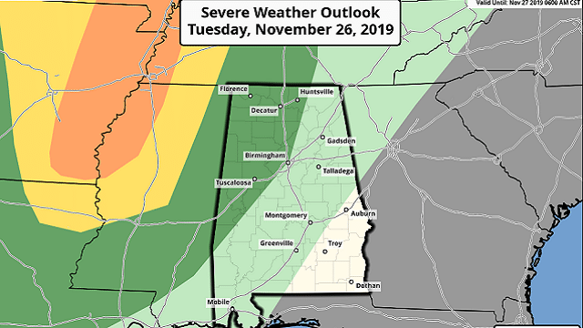
TONIGHT: An approaching cold front, part of a complex system that has been dropping heavy snow on places like Denver today, will bring a band of showers and thunderstorms to Alabama late tonight and early Wednesday morning. The Storm Prediction Center has extended a marginal risk (level 1 out of 5) of severe storms into parts of north and west Alabama, generally west of a line from Huntsville to Birmingham to Demopolis. Some of the storms could produce strong, gusty winds as they enter the state after midnight. The chance of a brief tornado is low, but not zero. The main window for heavier storms will come from midnight to 6 a.m.
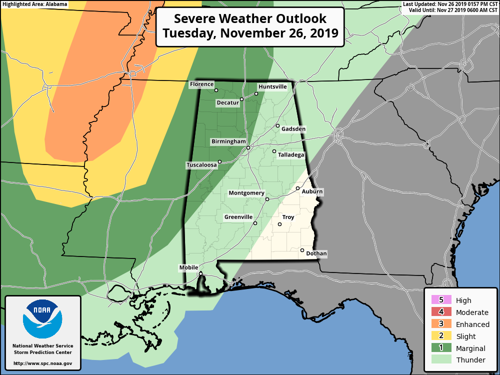
Storms will weaken rapidly after sunrise Wednesday as the main dynamic support pulls north, away from the state, and we expect just a few lingering showers over south Alabama during the afternoon. The sky will clear over north and central Alabama by afternoon, and the high will be in the mid 60s.
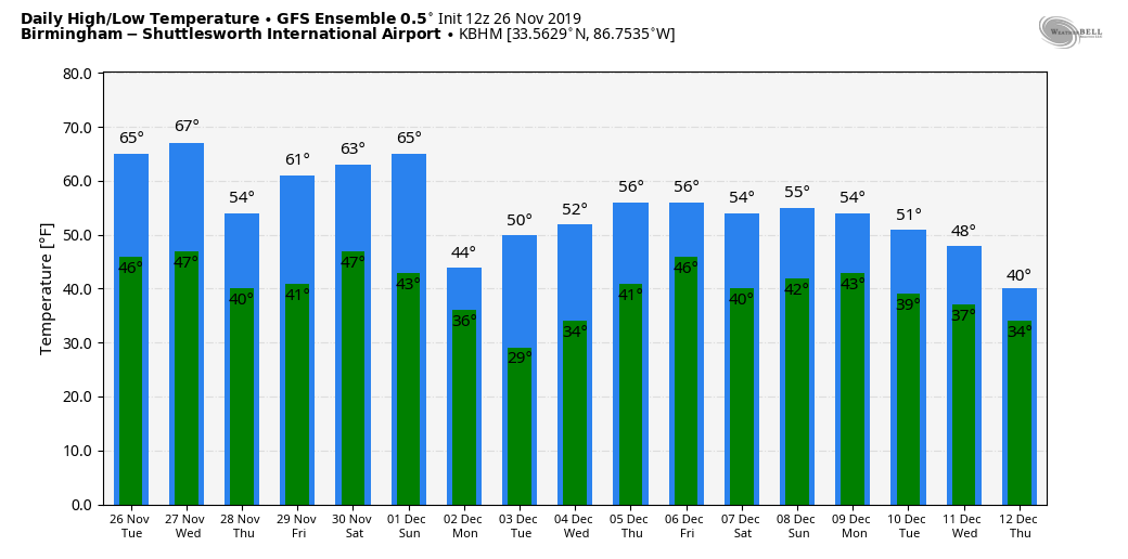
THANKSGIVING DAY/BLACK FRIDAY: Thursday will be cool and dry with sunshine in full supply; we start the day between 37 and 41, followed by a high in the 57- to 60-degree range. Friday will be partly to mostly sunny with a high in the mid 60s.
REST OF THE HOLIDAY WEEKEND: Clouds will increase Saturday ahead of the next storm system, and showers and storms are likely Saturday night into early Sunday morning. A few strong storms will be possible during the period, but it remains to be seen whether there will be a severe weather threat. It’s another case of strong dynamics and weak thermodynamics. Sunday will be breezy and colder following the rain with temperatures falling through the 50s.
NEXT WEEK: The weather looks cool and dry for much of the week, although some rain is possible by Friday, Dec. 6, with a short wave moving in from the west.
IRON BOWL: For the biggest game of the year in Alabama (2:30 p.m. kickoff Saturday at Jordan-Hare Stadium), the sky will be mostly cloudy with a kickoff temperature near 70 degrees. For now, we believe the rain arrives after the game is over, generally after 7 p.m. But, of course, the game is still several days away and things could change. We will keep you posted.
OTHER FOOTBALL FORECASTS: For high school playoff games Friday night, the sky will be clear with temperatures falling through the 50s.
Saturday, UAB takes on North Texas at Apogee Stadium in Denton, Texas (3 p.m. Central kickoff). The sky will feature a mix of sun and clouds, and a passing shower is possible during the game. Temperatures will be generally in the mid to upper 60s at kickoff, falling to near 60 by the final whistle.
ON THIS DATE IN 2007: Lightning and heavy rain delayed the start of the Monday Night Football game at Pittsburgh’s Heinz Field between the Miami Dolphins and the Pittsburgh Steelers by 25 minutes. The muddy field conditions contributed to one of the lowest-scoring NFL games, won by the Steelers, 3-0. The teams combined 375 yards, and the winning field goal occurred with 17 seconds left in the game.
BEACH FORECAST: Click here to see the AlabamaWx Beach Forecast Center page.
WEATHER BRAINS: You can listen to our weekly 90-minute show any time on your favorite podcast app. This is the show all about weather featuring many familiar voices, including the meteorologists at ABC 33/40.
CONNECT: You can find me on the major social networks:
Facebook
Twitter
Instagram
Pinterest
Snapchat: spannwx
For more weather news and information from James Spann and his team, visit AlabamaWx.