James Spann: Windy, cold afternoon for Alabama with some snow, sleet
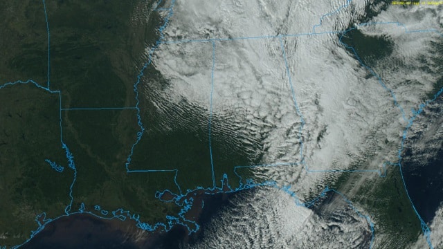
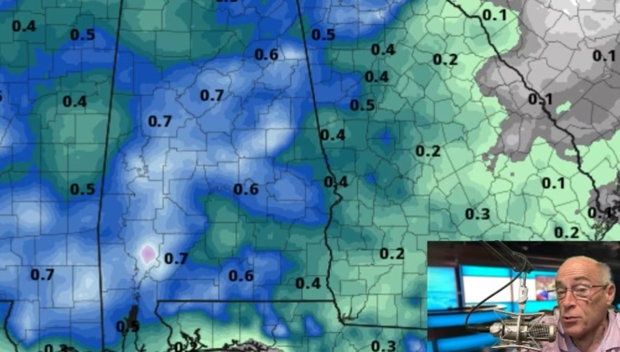
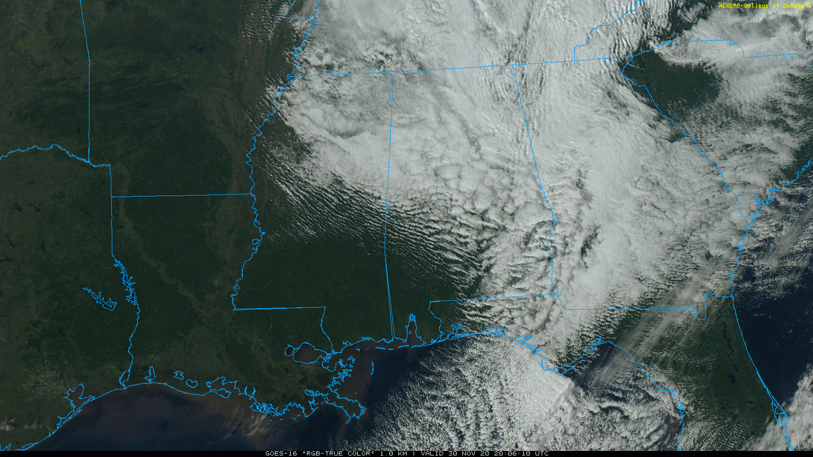
COLD NOVEMBER DAY: This has been a windy, cold late November day across Alabama; temperatures are settling into the 30s over the northern half of the state, and we have snow flurries, snow showers and patches of light sleet continuing on radar. Temperatures will remain above freezing while the precipitation falls, and there won’t be any impact. Southwest Alabama is enjoying a sunny afternoon, with low 50s at Mobile.
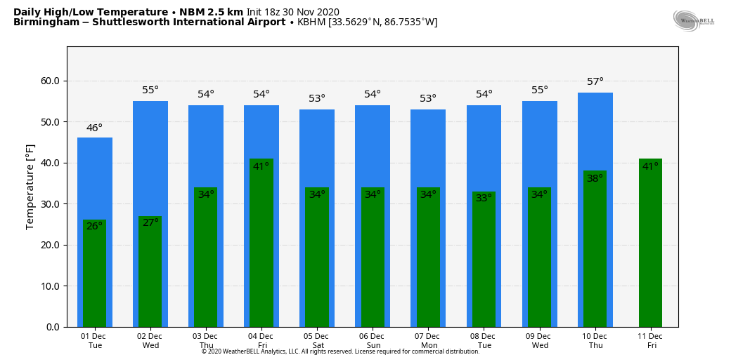
Tonight will be the coldest night so far this season for Alabama; lows by daybreak Tuesday will be between 20 and 26 degrees over the northern half of the state, with a freeze all the way down to the Gulf Coast. Freeze warnings have been posted for south Alabama, since it has yet to experience a widespread freeze this season.
REST OF THE WEEK: Tuesday and Wednesday will be sunny with a warming trend; the high will be in the upper 40s Tuesday, followed by upper 50s Wednesday. Clouds increase Wednesday night ahead of an upper trough, and Thursday will be cloudy with some scattered light rain. Moisture will be very limited, and rain amounts should be less than a quarter of an inch. The latest model data suggests the high Thursday will be between 50 and 55 degrees. On Friday the sky becomes partly sunny with a high between 52 and 55 degrees.
THE ALABAMA WEEKEND: Very quiet early December weather continues, with sunny, cool days and fair, cold nights. Highs will be in the 50s and lows between 30 and 34 degrees.
NEXT WEEK: For now the week looks rain-free, with temperatures a little below average for December. Highs will be in the 50s, lows in the 30s.
HURRICANE SEASON ENDS TODAY: In total, the 2020 season produced 30 named storms (top winds of 39 mph or greater), of which 13 became hurricanes (top winds of 74 mph or greater), including six major hurricanes (top winds of 111 mph or greater). This is the most storms on record, surpassing the 28 from 2005, and the second-highest number of hurricanes on record.
ON THIS DATE IN 1925: A rare late November tropical storm began to affect the west coast of Florida as it strengthened during the day. The storm made landfall very early on Dec. 1 south of Tampa Bay, weakened as it crossed central Florida and exited around St. Augustine. Heavy rain continued over northeast Florida on Dec. 2. Gale-force winds were reported from the Keys to Jacksonville and more than 50 people lost their lives, mostly on ships at sea. Damage along the coast south of Jacksonville was heavy, and excessive rain and wind seriously damaged citrus and truck crops.
ON THIS DATE IN 2016: Just after midnight, an EF-3 tornado crossed through parts of Jackson and DeKalb counties in northeast Alabama. This was one of 39 tornadoes during a two-day outbreak. There was significant damage in the towns of Rosalie and Ider. Four people were killed.
BEACH FORECAST: Click here to see the AlabamaWx Beach Forecast Center page.
WEATHER BRAINS: You can listen to our weekly 90-minute show any time on your favorite podcast app. This is the show all about weather featuring many familiar voices, including the meteorologists at ABC 33/40.
CONNECT: You can find me on the major social networks:
For more weather news and information from James Spann and his team, visit AlabamaWx.