James Spann: Mild afternoons for Alabama through midweek
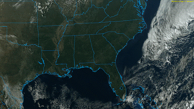
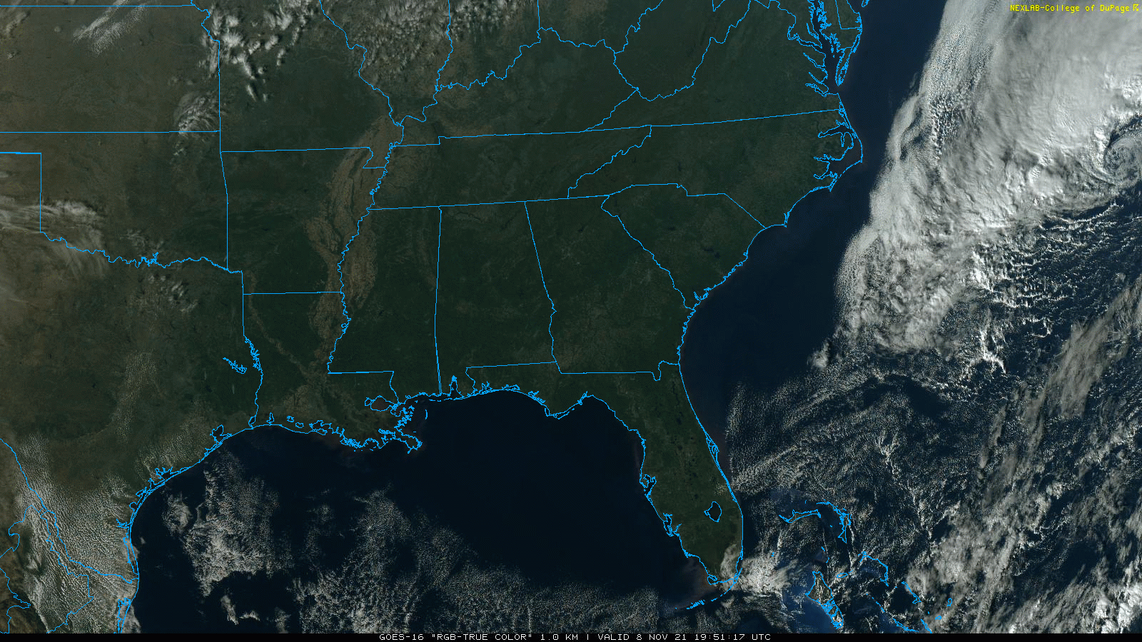
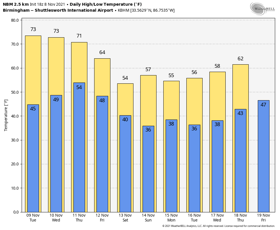
CLOUDLESS SKY: Not a cloud in the sky over Alabama this afternoon, and temperatures have warmed nicely after a cold start. Most communities are in the low 70s at mid-afternoon, a little above the average high of 67 for Nov. 8. Tonight will be clear with a low between 37 and 44 degrees.
Sunny weather continues Tuesday and Wednesday with highs between 72 and 76 degrees. Clouds increase late Wednesday night.
RAIN RETURNS THURSDAY: A cold front will bring a good chance of rain to Alabama Thursday and Thursday night. It still looks like most of the rain will come from around noon to midnight, and amounts will be around one-half inch. Some thunder is possible, but with the main dynamic support well to the north severe storms are not expected.
The sky becomes mostly sunny Friday, but the day will be breezy and cooler with a high in the mid 60s.
THE ALABAMA WEEKEND: Look for sunny, cool days and clear, cold nights over the weekend. Highs will be in the 50s, with lows in the 30s. Colder spots will be close to freezing early Sunday morning.
NEXT WEEK: For now the week looks quiet, with mostly sunny days and fair nights. Highs will be between 55 and 62 degrees, with lows in the 30s and 40s. There’s no sign of any severe weather threats for Alabama through the next 10 days.
SPACEX RE-ENTRY TONIGHT: There’s a decent chance of seeing the returning capsule over Alabama and the Florida Panhandle. This is happening pretty high in the upper atmosphere. Splashdown is scheduled for 9:33 CST. Start looking southwest 10-15 minutes before that. It will look like a streak of yellow/white light. You are looking at plasma superheated as the capsule enters the atmosphere.
TROPICS: A non-tropical low-pressure system with storm-force winds is nearly 400 miles east of Cape Hatteras, North Carolina, and is forecast to move east-northeastward during the next several days. By midweek, the system could gradually lose its frontal characteristics over the subtropical Atlantic Ocean and briefly acquire some subtropical characteristics before merging with a larger low-pressure system over the north-central Atlantic. However, the chance of subtropical cyclone formation appears to be be decreasing.
The rest of the Atlantic basin is quiet.
ON THIS DATE IN 1913: The Great Lakes Storm of Nov. 7-13 was a blizzard with hurricane-force winds that devastated the Great Lakes Region, sinking as many as 19 ships and stranding 19 others. This storm would be the deadliest and most destructive natural disaster ever to hit the Great Lakes.
ON THIS DATE IN 1994: The 12th and final tropical cyclone of the Atlantic hurricane season formed in the southwestern Caribbean. While Hurricane Gordon was only a Category 1, it killed 1,149 people, including 1,122 in Haiti.
BEACH FORECAST: Click here to see the AlabamaWx Beach Forecast Center page
WEATHER BRAINS: You can listen to our weekly 90-minute show any time on your favorite podcast app. This is the show all about weather featuring many familiar voices, including the meteorologists at ABC 33/40.
CONNECT: You can find me on the major social networks:
For more weather news and information from James Spann and his team, visit AlabamaWx.


