Scott Martin: Rain moves into Alabama later today; risk of severe weather Tuesday
THE LAST FRIDAY OF 2022: Today will start off mainly dry, but rain and a few claps of thunder will begin to move into the state by midday and into the Birmingham area around 4-5 p.m. Rain and storms should reach Gadsden, Anniston and Auburn by 6-7 p.m. Severe weather is not expected for central Alabama, but a few strong storms will be possible in the southwestern corner of the state. Highs will be in the lower 60s to the mid 70s.
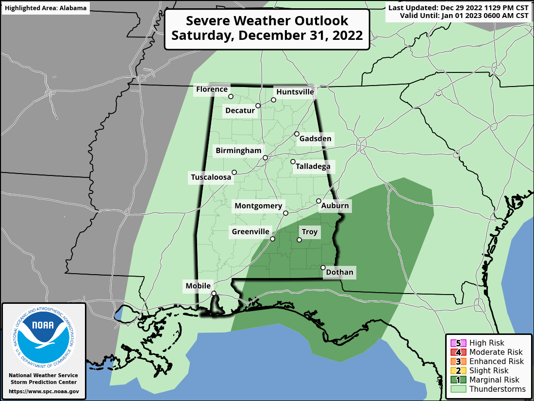
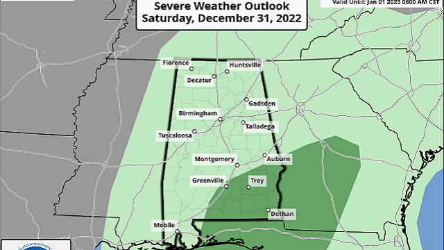
THE NEW YEAR’S WEEKEND: Saturday’s activity is now trending as scattered showers and some thunder, with nearly all the activity out of the state and over into Georgia by the start of the evening. A few strong storms will be possible for southeastern Alabama, and the Storm Prediction Center has introduced a marginal risk for those locations. After that, Alabama trends dry, especially at midnight. Highs will be in the lower 60s to the lower 70s, with midnight temperatures in the 50s.
New Year’s Day continues to trend dry and mild, with mostly sunny skies and highs in the mid 60s to the lower 70s.
THE FIRST WORK WEEK OF 2023: The first three days of the work week look wet and stormy at times with plenty of rainfall, leading to potential flooding. Rain chances will start to move into western Alabama during mid-morning Monday and will spread eastward through the rest of the day. By late night and into overnight, there will be a lull in the rain until the next wave arrives. Highs will be in the upper 60s to the mid 70s.
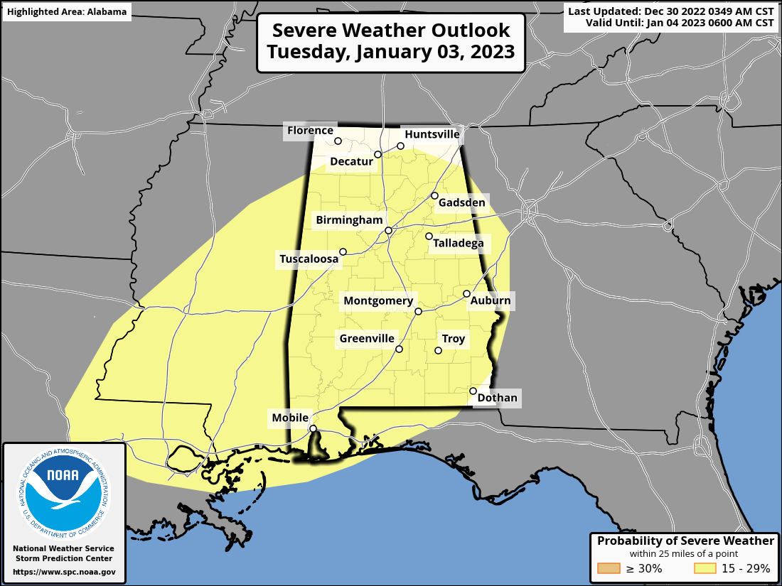
Rain and storms will move into the state early Tuesday, and it looks like we may have to put up with the potential of severe storms to go along with potential flooding. The SPC has placed all of central Alabama and a good portion of the Tennessee Valley in the equivalent of a level 2 slight risk of severe weather. Severe threats include damaging winds and tornadoes. We look to see around 2-3 inches of rain throughout the day. We’ll get a better look at the severe threat once the high-resolution models come into play. Highs will be in the upper 60s to the lower 70s.
Rain and storms will continue across much of the state on Wednesday until the late evening and overnight. While severe weather doesn’t look likely at this point, more heavy rain is expected, with totals for the day of 1 to 2 inches. Highs will be in the upper 50s to the lower 70s.
On Thursday, dry, cooler conditions can be expected as skies begin to clear out. Highs will be in the lower 50s to the lower 60s.
For more weather news and information from James Spann, Scott Martin and other members of the James Spann team, visit AlabamaWx.


