Scott Martin: Great springtime Saturday for Alabama; a few strong storms possible late Sunday

THE WEEKEND: It’s shaping up to be a gorgeous day across Alabama with plenty of sunshine and comfortable temperatures. Highs will range from the upper 60s up north to the upper 70s down south. However, with dry conditions and breezy winds in the forecast, fire danger will be on the rise. If you’re planning any outdoor burning, be extra cautious and check for any burn bans.
On Sunday, most of the day stays dry, but clouds will start increasing in the afternoon, especially out west. A few stray showers could pop up in the far northwest before sunset, but the real action holds off until later. With a warm southerly breeze kicking in, highs will climb into the mid 70s to lower 80s.
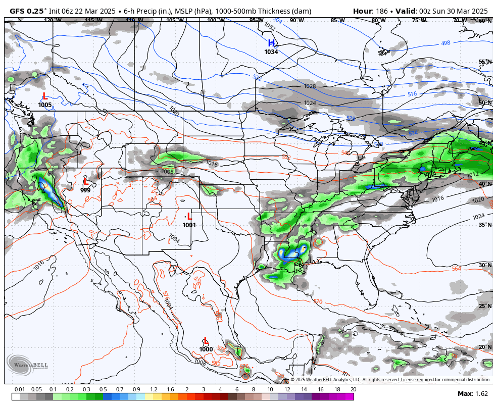
POTENTIAL FOR STRONG STORMS: Sunday night is when things get a little more interesting. A weather system moving through the Ohio Valley could spark a few strong storms, mainly across northwestern Alabama. The Storm Prediction Center has placed locations west of a line from Hytop to Hanceville to Tuscaloosa to just west of Livingston under a level 1 out of 5 risk for severe storms. A few storms could bring gusty winds and some hail; the tornado risk remains low, though not zero. Storms should move out after 2 a.m. While this isn’t expected to be a major severe event, we’ve seen similar setups overachieve before. So, stay weather-aware Sunday night and have a way to receive alerts while you sleep.
THE WORK WEEK: On Monday, any leftover rain wraps up early, and we’ll clear out fast. By the afternoon, sunshine takes over the northern half of the state, while showers will remain possible over southern Alabama. Highs will be in the upper 60s to mid 70s. Tuesday will be beautiful, with sunny skies and warm temps. However, showers will remain possible over south Alabama. Highs will be in the lower 70s to lower 80s.
Wednesday will feature more sun, a few clouds and another warm one, with highs in the upper 60s to upper 70s. A weak front moves through on Thursday, but we stay mild and dry with partly to mostly sunny skies. Highs land throughout the 70s. Dry, warm weather continues Friday, with a mix of sun and clouds and highs in the mid 70s to lower 80s.
As we head into next weekend, another system may bring more rain and storms. It’s still a little too early to lock in the details, but we’re in the heart of Alabama’s peak severe weather season, so it’s always smart to stay prepared.
For more weather news and information from James Spann, Scott Martin and other members of the James Spann team, visit AlabamaWx.


