James Spann: Dry Tuesday ahead for Alabama; summer-like weather Wednesday through Friday

IMPROVING WEATHER: Storms have moved out of Alabama this afternoon; look for a clearing sky tonight with a low in the 40s.
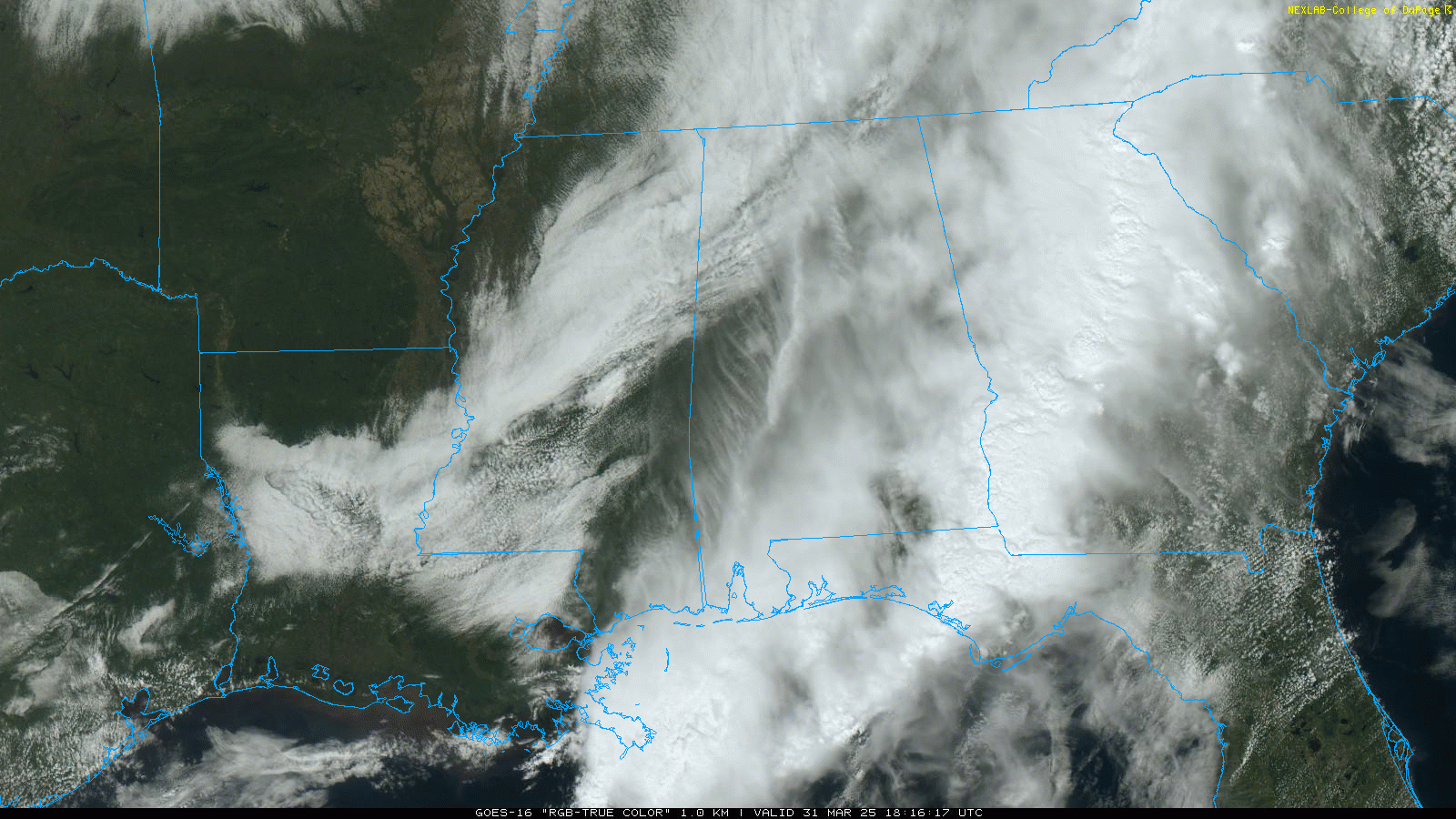
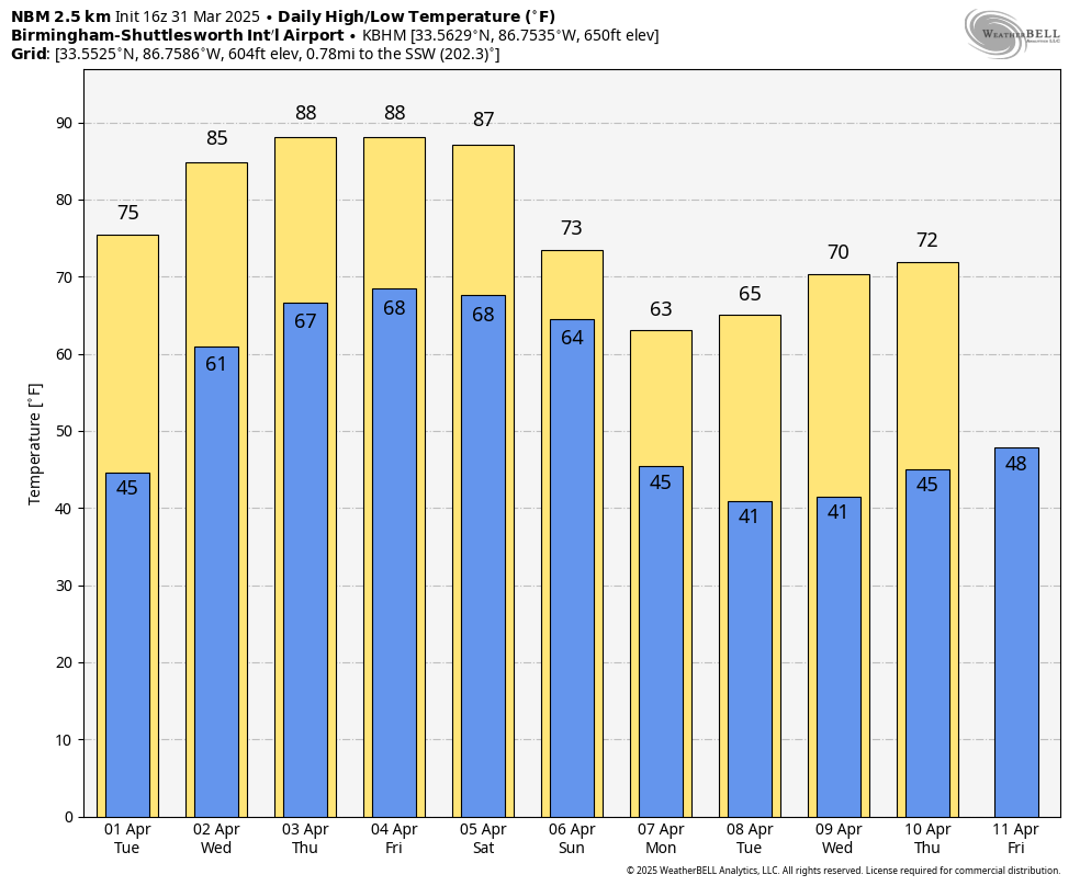
The day Tuesday will be dry with a partly to mostly sunny sky and a high in the 70s.
SUMMER PREVIEW: A strong upper ridge will bring a summer preview to Alabama over the latter half of the week, with afternoon highs between 85 and 90 degrees. This ridge will likely keep showers and storms north and west of Alabama, but a few strong storms could creep into the northwest corner of the state Wednesday evening. These are the daily record highs for Birmingham:
- April 3 — 87 (1999)
- April 4 — 88 (1934)
- April 5 — 88 (2010)
If we do reach 90 degrees on one of these days, it won’t be the earliest 90-degree temperature on record; that happened on March 21, 1907.
THE WEEKEND: Saturday will be another very warm, dry day with a high in the mid to upper 80s, but the ridge breaks down, allowing showers and thunderstorms to return Sunday.
Much cooler air follows the rain Sunday, and there will be some risk of frost and a late-season freeze for parts of Alabama by April 7-8.
ON THIS DATE IN 1962: Seventeen people were killed and 100 others injured by an F3 tornado that ripped through Milton, Florida, the state’s worst tornado disaster. Damage was set at $1.5 million.
For more weather news and information from James Spann and his team, visit AlabamaWx.


