James Spann: A few sprinkles for Alabama early Tuesday; turning cooler

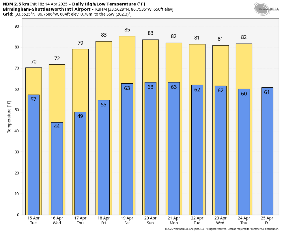
WARM SPRING DAY: Temperatures are generally in the low to mid 80s across Alabama this afternoon with sunshine in full supply. The average high for Birmingham on April 14 is 75.
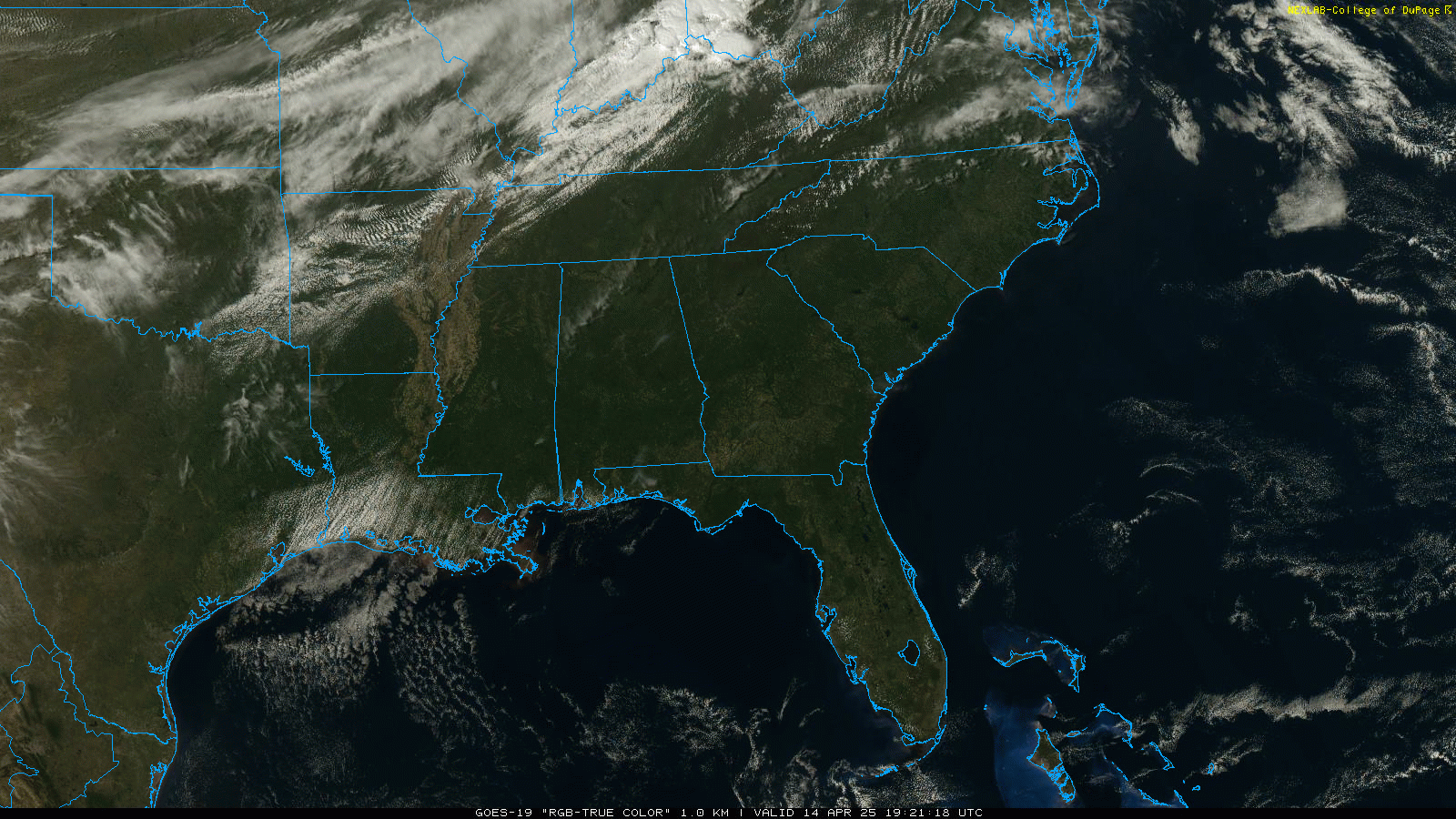
Clouds will increase across Alabama tonight, and a few light showers or sprinkles are possible after midnight over the northern third of the state ahead of a cold front. Showers will end early in the day; the sky becomes mostly sunny Tuesday as a cooler air mass drops into the state. Look for a high between 68 and 74 degrees, about 10 degrees cooler than today.
The rest of the week will be dry with sunny days and fair nights. The coolest morning will come early Wednesday, with lows in the 40s for most places. We rise back into the 80s by Friday as an upper ridge builds over the region.
THE ALABAMA WEEKEND: The weekend will be warm and generally dry, with highs in the 80s and lows in the 60s. A few isolated showers are possible Sunday afternoon over the southwest corner of the state as moisture levels begin to rise.
A cold front will likely bring the next meaningful chance of rain for the state one week from today, but for now we aren’t expecting any severe storms thanks to the upper ridge. This pattern will likely keep temperatures above average next week, with highs in the 80s.
ON THIS DATE IN 2019: Eleven tornadoes touched down across Alabama on Palm Sunday 2019. All were rated EF-0 or EF-1.
ON THIS DATE IN 2021: A Seacor Power lift boat capsized in the Gulf of Mexico near Port Fourchon, Louisiana, amid violent weather, high winds and 8 millibars pressure gradient. The Coast Guard rescued five people, with seven dead and seven missing. Safety reviews followed.
For more weather news and information from James Spann and his team, visit AlabamaWx.


