James Spann: Drought continues to worsen in Alabama
James Spann: No rain in sight for Alabama, but cooler weather just around the corner from Alabama NewsCenter on Vimeo.
LONG TIME, NO RAIN: Today will be the 45th consecutive day without rain for Birmingham; the record streak is 52 days set in 1924, and unfortunately it sure looks like we have a good chance of beating that record as prospects for meaningful rain look very small through next week.
We have been under an upper ridge since summer, deflecting the major rain-producing systems away. As the soil moisture vanishes and plants and vegetation begin to die, there is less water available for evaporation from the soil surface, meaning less water available for transpiration. Basically a nasty feedback loop, meaning no moisture available for waves and boundaries that pass through. It makes it very hard to break out of these things.
And the lack of soil moisture sets the stage for very warm afternoons; the sun’s energy doesn’t have to work on evaporation, so it all goes into heating the ground, which in turn heats the air. If this were August, we would be dealing with nasty, triple-digit heat. Yesterday was the warmest November day on record for most of Alabama; Birmingham soared to 88 degrees, beating the old record of 85 on Nov. 1 set in 2000.
TODAY/TOMORROW: We project highs in the 82- to 85-degree range both days; the average high is 69 for early November. Sunshine through scattered clouds, and no rain despite a cold front approaching late tomorrow.
BIG COOL-DOWN: The one thing we can promise is cool air Friday. A nice north breeze will usher in much cooler air; the high Friday will drop into the 70- to 75-degree range despite sunshine in full supply. By Saturday morning, most communities will be in the low 40s, with 30s for colder pockets along with a touch of scattered light frost.
THE WEEKEND: Delightful fall weather. Sunny, pleasant days and clear, chilly nights. Highs in the 70s, lows in the 40s.
NEXT WEEK: Not much change. Unfortunately the idea presented yesterday by the GFS involving rain next Thursday is off the table; the week looks rain-free. Highs hold in the 70s, lows mostly in the 40s.
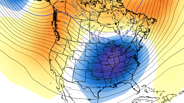
PATTERN CHANGE: Evidence remains in place for a major pattern flip in two weeks that will bring rain chances back to Alabama. The mean upper ridge over the Deep South will be replaced by a trough, opening the door for the return of active weather and rain.

Ensemble data from the reliable European model (ECMWF) continues to suggest potential for about 5 inches of rain around here from mid-November through mid-December.

This will begin a process, hopefully, of ending the short-term drought and preventing a long-term drought from beginning. This is supported by climatology, since November and December are usually wet and stormy; it is our late fall severe weather season.
AT THE BEACH: Sunny days, fair nights through next week on the Gulf Coast from Panama City Beach to Gulf Shores; highs in the low 80s today and tomorrow, then in the 70s Friday and over the weekend. See a detailed Gulf Coast forecast here.
TROPICS: A disturbance northeast of the Leeward Islands could show some slow development over the next five days, but it will move northeast and is no threat to land.
TIME CHANGE: Don’t forget we go back on standard time this weekend. Set those clocks back one hour before you go to bed Saturday night. Good news in the weather world: We get model data one hour earlier beginning Sunday (model runs are based on Greenwich Mean Time).
WEATHER BRAINS: You can listen to our weekly 90-minute netcast anytime on the web, or on iTunes. This is the show all about weather featuring many familiar voices, including meteorologists at ABC 33/40. We recorded a new episode last night.
CONNECT: You can find me on all of the major social networks:
Facebook
Twitter
Google Plus
Instagram
For more weather news and information, visit AlabamaWX.


