James Spann: Alabama gets stormy at times over next two days
WARM FRONT LIFTING NORTHWARD: Low clouds and fog are over North Alabama this afternoon ahead of a warm front over the central counties of the state. Not much action on radar this afternoon, and any showers tonight should be isolated as the front continues pushing northward into Tennessee.
SEVERE WEATHER POTENTIAL TOMORROW: The Storm Prediction Center maintains a “slight risk” of severe storms over North and Central Alabama, with a “marginal risk” down to near U.S. 84 in South Alabama.

An upper trough and surface front will approach from the west. Seems like the highest instability and shear values are displaced (the system is a little out of phase), and wind fields are not especially strong. Still, we will need to watch for strong to severe storms.
TIMING: Model guidance is faster; looks like the main window now for strong to severe storms will come from 9 a.m. until 6 p.m.
THREATS: The main issue will be strong, gusty thunderstorm winds and hail. The chance of a small tornado is small, but not zero.
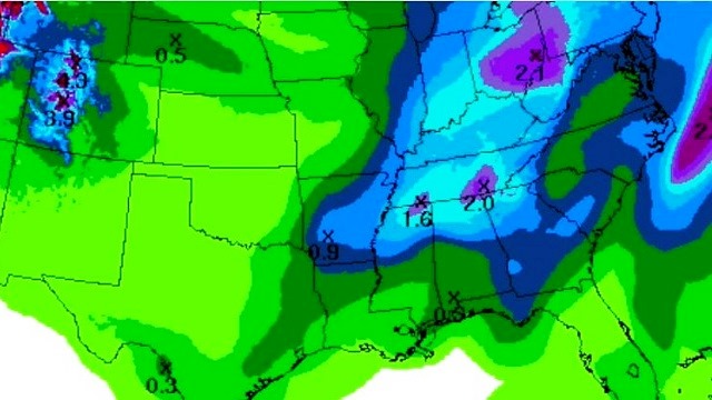
RAIN AMOUNTS: Rain should be around one-half inch, with isolated amounts to 1 inch, not enough for flooding issues.
WEDNESDAY: The surface front won’t pass through Alabama until Wednesday evening, and a few strong storms are still possible. SPC has all 67 Alabama counties in a “marginal risk”.

A few showers and storms on Wednesday; some of the heavier storms could produce strong, gusty winds and some hail, but the overall severe weather threat is fairly low. Additional rain amounts Wednesday should be one-half inch or less for most communities. Wednesday should be a mild day with a high in the 70- to 75-degree range.
THURSDAY/FRIDAY: The weather turns sharply colder on these days. The sky clears Thursday with a gusty north breeze, the high will be only in the low 50s and many places north of Birmingham won’t get out of the 40s. Then, we drop below freezing early Friday with lows in the 25- to 30-degree range. Friday will be sunny and cool with a high in the mid 50s.
THE ALABAMA WEEKEND: Saturday will be partly sunny and warmer with a high well up in the 60s; a shower is possible near the Tennessee border, but much of the state should be dry. Then, Sunday looks mostly cloudy and mild with just a few isolated showers; we reach 70 degrees Sunday afternoon.
NEXT WEEK: A weak front could bring a few showers Monday and Tuesday, but for now it doesn’t look like anything heavy or really widespread. A more dynamic system will move in later in the week, with rain and storms likely by Wednesday night and Thursday.

WEATHER BRAINS: You can listen to our weekly 90-minute netcast anytime on the web, or on iTunes. This is the show all about weather featuring many familiar voices, including meteorologists at ABC 33/40.
CONNECT: You can find me on all of the major social networks:
Facebook
Twitter
Google Plus
Instagram
Pinterest
Snapchat: spannwx
For more weather news and information, visit AlabamaWX.


