James Spann: Cooler today; rain returns to Alabama tomorrow night
James Spann: Rain returns to Alabama late Tuesday night, Wednesday from Alabama NewsCenter on Vimeo.
COOLER: Following a cold front that brought a narrow band of showers and storms to Alabama late yesterday, today will be dry and cooler with ample sunshine and a high at or just over 60 degrees this afternoon. This is about 15 degrees cooler than yesterday, and close to the average Birmingham high of 58 for Feb. 13. Tonight will be clear and chilly; we reach the mid to upper 30s early tomorrow morning.
MIDWEEK RAIN: Clouds increase tomorrow ahead of a weather system approaching Alabama from the west, and rain should move into the state late tomorrow night, mainly after midnight. A surface low will move through South Mississippi and South Alabama, bringing about one-half inch of rain from roughly midnight tomorrow night through noon Wednesday.
South of the surface low, strong storms are possible over far South Alabama. The Storm Prediction Center has the standard “slight risk” of severe storms defined for the southern part of Mobile and Baldwin counties for late tomorrow night into early Wednesday morning.

The outlook for Wednesday from SPC shows a “marginal risk” of severe storms for South Alabama, generally south of a line from Mobile to Phenix City.

No severe weather is expected for the northern half of Alabama; in fact, I expect very little thunder with the surface low down to the south.
Rain will end from west to east during the midday hours Wednesday; the day will be cloudy and cool, with a high in the low 50s.
THURSDAY/FRIDAY: We should start Thursday with sub-freezing temperatures early in the day. Otherwise, the day will be cool and dry with a sunny sky; Thursday’s high will be in the low 50s. The sky will stay sunny Friday with a high rising into the low 60s.
THE ALABAMA WEEKEND: A disturbance will pass well to the south of Alabama Saturday; this feature could bring some clouds to the state as the weekend begins, but for now it looks like most of the rain will stay over the Gulf of Mexico. The high Saturday will be in the mid 60s. Then, Sunday looks like a delightful day, with a good supply of sunshine and a high in the upper 60s.
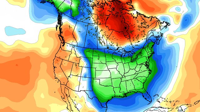
NEXT WEEK: The Global Forecast System model is advertising potential for active thunderstorms by Monday night and Tuesday with a deep surface low setting up west of the state, and the idea has some support from the European model (ECMWF). Cooler air returns to the state over the latter half of the week.
IS WINTER OVER? No. We always have cold snaps in March and April. The Climate Forecast System is advertising a pretty good cold snap March 10-15, but this, of course, is in voodoo land.

WEATHER BRAINS: You can listen to our weekly 90-minute netcast anytime on the web, or on iTunes. This is the show all about weather featuring many familiar voices, including meteorologists at ABC 33/40. We will produce this week’s show tonight at 8:30. You can watch it live here.
CONNECT: You can find me on all of the major social networks:
Facebook
Twitter
Google Plus
Instagram
Pinterest
Snapchat: spannwx
For more weather news and information, visit AlabamaWX.


