James Spann: Weather may not cooperate with many events in Alabama
Brian Peters Alabama NewsCenter weekend forecast for April 22 from Alabama NewsCenter on Vimeo.
It’s a busy day across Central Alabama with lot sof big outdoor events, including the Honda Indy Grand Prix events at Barber Motorsports Park and the Alabama A-Day game at Bryant Denny Stadium.
There is some good news to report.
We had been nervously watching showers and thunderstorms over Northwest Alabama and back in Central Mississippi, holding our breaths as we waited for them to dissipate as we thought they would. Morning runs of one of our best short term models had show that they might hold together better than we expected.
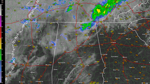
But that is not the case, the showers are nearly gone from the radar at 9:45. A few light showers are across parts of Lamar, Marion, Winston, Fayette and northwestern Walker Counties.
A larger mass of rain was over Madison and Jackson Counties in Northeast Alabama, moving off to the northeast toward Tennessee.

But for Tuscaloosa and Birmingham, the radar is clear.
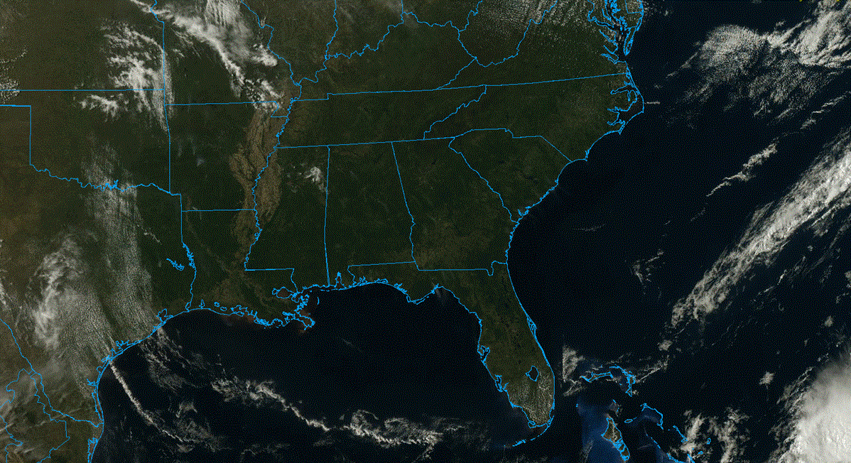
South of I-59, skies are mostly sunny. Clouds from the earlier showers are thicker to the north of I-59, but some sunshine is still getting through in many spots.
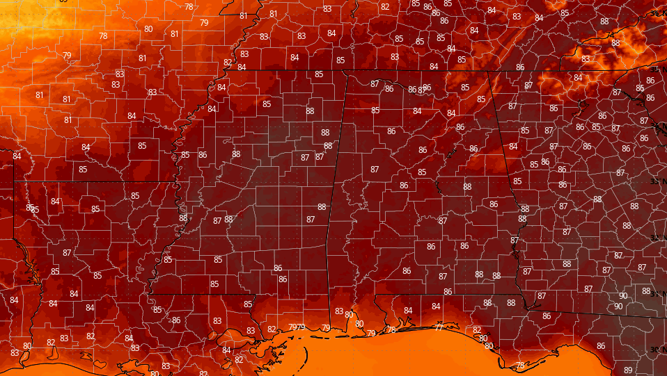
Look at this great data from the new GOES-16 satellite:

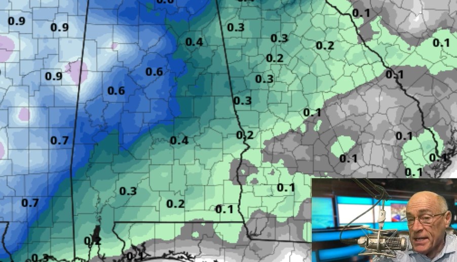
There will be a period of rain across about the northern third of Alabama this morning. The midday hours (11am to 3pm) should be mostly warm and dry across North/Central Alabama, although a few widely scattered showers/storms are possible.
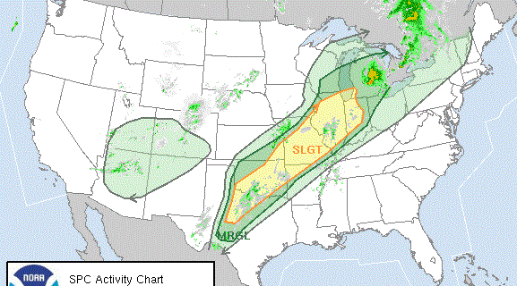
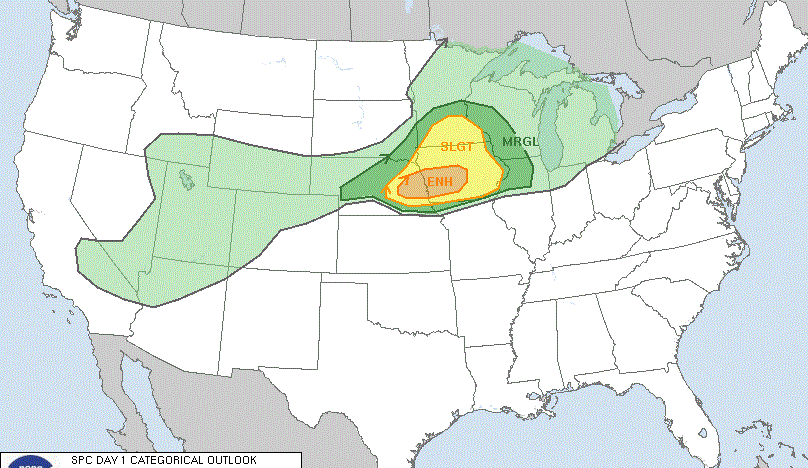
Heavier storms will begin to form late this afternoon, and SPC maintains a “slight risk” of severe storms west of a line from Demopolis to Birmingham to Gadsden, with a “marginal risk” down to Gulf Shores, Andalusia, Troy, and Phenix City.
Storms late this afternoon and early tonight, in the 4pm to 9pm time frame, could produce small hail and strong, gusty winds. The tornado threat is very, very low.
ALABAMA A-DAY GAME: The heavier storms along the cold front, most likely, won’t reach Tuscaloosa until 5:00 p.m. or later, after the completion of the annual spring game at Bryant-Denny Stadium, which kicks off at 2:00.
However, a few scattered showers or storms are possible earlier in the day, and the high resolution HRRR model does hint at a shower or storm passing near Tuscaloosa early in the afternoon. It is impossible to give specific locations and start/stop times of these random showers, so just be aware of the possibility.
Bottom line is that most of the game should be played with no rain, but we sure can’t rule out a brief, passing shower or thunderstorm, so I would have some rain gear just in case one drifts over the stadium. Also, understand there could be a few strong to severe storms around after the game with potential for small hail and strong, gusty winds. As noted above, there is only a very low risk of a tornado this evening, thankfully.
The kickoff temperature should be close to 80 degrees. I will be at the KS Services tent with former Tide star and current Cincinnati Bengal Andre Smith from 11am until 12 noon… come see us if you are headed to the game.
HONDA INDY GRAND PRIX OF ALABAMA: Much like the situation in Tuscaloosa, much of the day today will be warm and dry, although we can’t rule out a brief passing shower or storm during the midday hours. Heavier storms won’t reach the Birmingham metro until after 6:00; those could produce small hail and strong gusty winds. Very little if any tornado threat. The high today will be close to 80.
Tomorrow will be mostly cloudy, breezy, and much cooler with a high only in the low to mid 60s. A touch of light rain or drizzle is possible during the morning, but again most of the day should be dry.
Keep an eye on the blog for forecast updates today.
For more weather news and information from James Spann and the rest of his team, visit Alabama Wx.

