James Spann: Threat of severe storms across Alabama tonight
WATCHING THE RADAR: A line of severe storms is along I-55 in Mississippi as I write this update; a few tornado warnings are in effect for line segments where storms are in rotation. But here in Alabama, all is calm; it is a warm, windy afternoon with a mix of sun and clouds and temperatures in the 76- to 80-degree range.
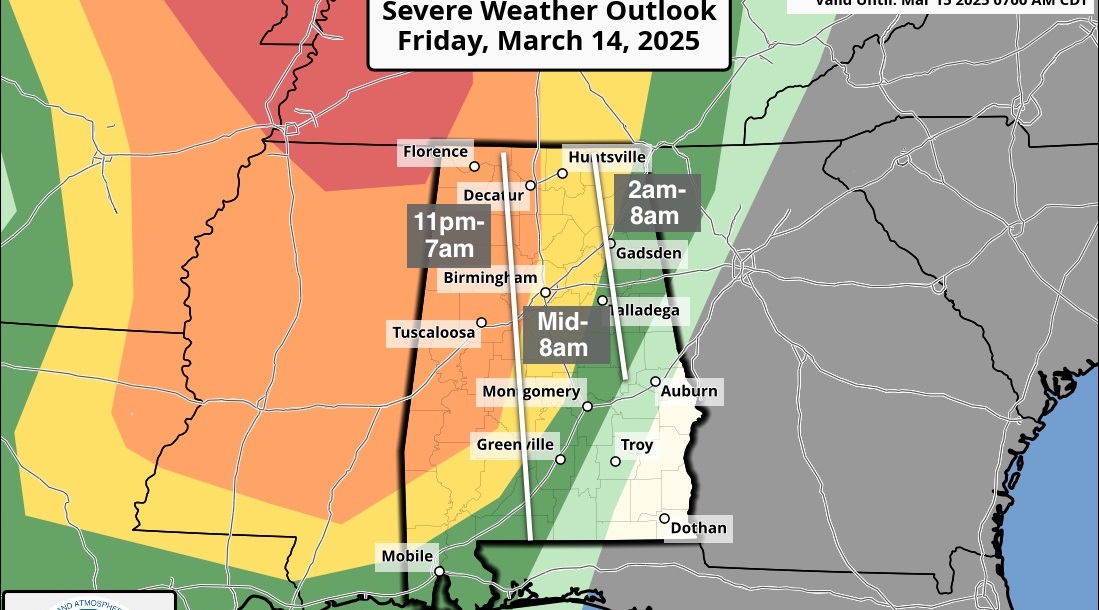
The storms to the west will arrive tonight; the Storm Prediction Center maintains an enhanced risk (level 3 out of 5) of severe storms for areas south of a line from Vernon to Birmingham to Alexander City to Auburn. A slight risk (level 2 of 5) covers the rest of the state.
TIMING: Storms will enter west Alabama late this afternoon; they should be around the I-65 corridor by 10, then move out of the state well after midnight.
THREATS: Storms tonight will be capable of producing damaging wind and a few tornadoes. Hail is possible, but that threat is lower. The highest tornado threat is in the enhanced-risk area, but one or two brief tornadoes can’t be ruled out over north Alabama as well.
RAIN: Rain amounts will be around 1 inch; no major flooding issues are expected.
Be sure you can hear warnings tonight if they are required. Never rely on a siren to let you know a tornado is coming. In your safe place, have helmets for everyone. If you live in a mobile or manufactured home, know the location of the nearest shelter or business that is open 24/7, and get there quickly if a tornado warning is issued. Do not stay in a mobile home in a tornado warning.
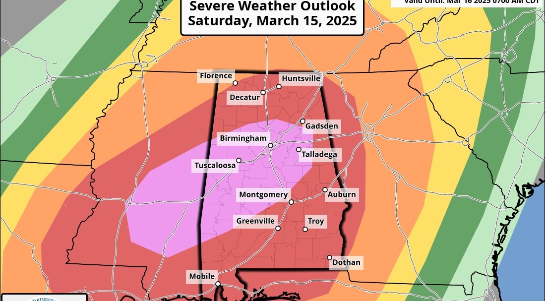
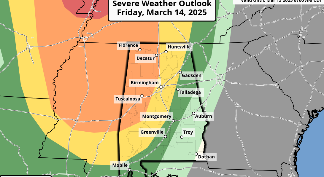
FRIDAY: The severe weather threat shifts east of Alabama, but a deep, cold-core upper low will move right over us. This will set up a cloudy, cool day with periods of light rain. Temperatures hold in the 50s all day, and light showers could even produce some small hail because of the cold air aloft.
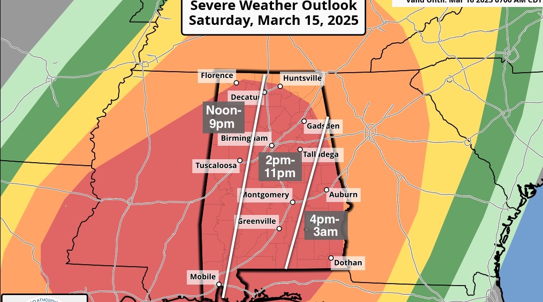
EASTER WEEKEND: Any lingering clouds over northeast Alabama will lift out by midmorning Saturday; otherwise the weekend will feature sunshine in full supply with cool mornings and comfortable afternoons. The high will be in the mid 60s Saturday, followed by upper 70s Sunday. Morning lows will be in the 40s.
NEXT WEEK: The weather will be warm and dry Monday through Wednesday; then showers and storms return Thursday. This could be another setup for strong storms, but it’s too early to be specific at this point. The following weekend (April 27-28) looks dry and pleasant.
BEACH FORECAST: Click here to see the AlabamaWx Beach Forecast Center page.
WEATHER BRAINS: You can listen to our weekly 90-minute show any time on your favorite podcast app. This is the show all about weather featuring many familiar voices, including the meteorologists at ABC 33/40.
CONNECT: You can find me on all of the major social networks:
Facebook
Twitter
Instagram
Pinterest
Snapchat: spannwx
For more weather news and information from James Spann and his team, visit AlabamaWx.