James Spann: Very humid day for Alabama with afternoon showers, storms
James Spann has the Alabama forecast for Friday through the weekend from Alabama NewsCenter on Vimeo.
MUST BE MIDSUMMER: All of the usual summer elements will remain in Alabama’s forecast through the weekend — heat, humidity and random, scattered showers and thunderstorms. Most (but not necessarily all) of the showers will come from 1 until 11 p.m., during the peak of the daytime heating process. Rain coverage should be highest on Saturday. Odds of any one place getting wet are around 30 percent today, 60 percent Saturday and 40 percent Sunday. Unfortunately, there is no skill in forecasting the exact timing and placement of the showers and storms; if you have something planned outdoors, you just have to watch radar trends.
The high today will be in the low 90s for most communities; highs over the weekend will be in the 87- to 91-degree range. The average high for Birmingham for July 19 is 91 degrees; the peak of the summer heat here typically runs from mid-July to mid-August.
NEXT WEEK: A surface front will slowly push into Alabama early next week, and we expect scattered to numerous showers and thunderstorms Monday and Tuesday. Then drier air creeps into the state for the latter half of the week, with lower humidity and cooler nights. This rarely happens in July in Alabama, but models have been very consistent with the idea in recent days.

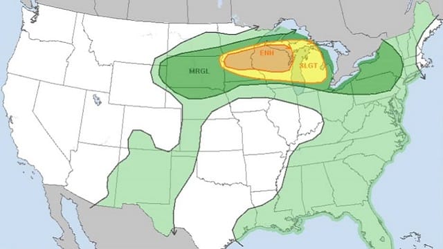
TROPICS: The Atlantic basin remains very quiet, and tropical storm formation is not expected through early next week.
ON THIS DATE IN 1997: The eye of hurricane Danny moved to the mouth of Mobile Bay near Fort Morgan just before dawn. The hurricane then drifted into southern Mobile Bay and stalled. Danny finally made landfall near Mullet Point midday as a category one hurricane. Danny drifted across Baldwin County through the rest of the day and into the morning of July 20. The weakening cyclone finally turned north late in the day and moved over the extreme northwest Florida panhandle before proceeding to move north and northeast over Alabama for the next two days.
Radar estimated an incredible 43 inches of rain over the open water in Mobile Bay. Observing sites reported 30-40 inches across the area. Dauphin Island reported 36.71 inches, with 25.98 inches falling between 5 p.m. and midnight on Saturday. Numerous roads were inundated and impassable for days after Hurricane Danny. Record flooding caused major damage to homes along the Fowl River in Mobile County and the Fish River in Baldwin County.
BEACH FORECAST: Click here to see the AlabamaWx Beach Forecast Center page.
WEATHER BRAINS: You can listen to our weekly 90-minute show any time on your favorite podcast app. This is the show all about weather featuring many familiar voices, including the meteorologists at ABC 33/40.
CONNECT: You can find me on the major social networks:
Facebook
Twitter
Instagram
Pinterest
Snapchat: spannwx
For more weather news and information from James Spann and his team, visit AlabamaWx.


