James Spann: Rare July ‘cold’ front on the way to Alabama
James Spann has the Alabama forecast for the new work week from Alabama NewsCenter on Vimeo.
SIGNIFICANT WEATHER CHANGES THIS WEEK: A blanket of moist air remains parked over Alabama today, and the radar is quiet this morning. Showers and storms will develop later today in scattered spots during the peak of the daytime heating process. We project a high today between 87 and 90 degrees for most communities.
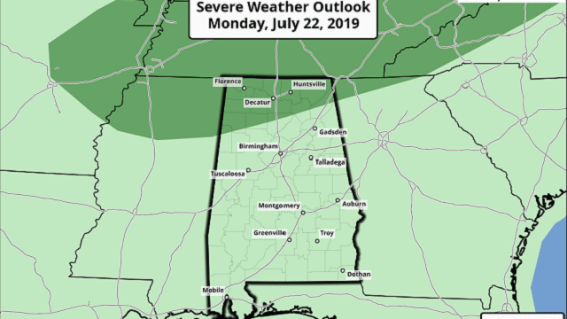
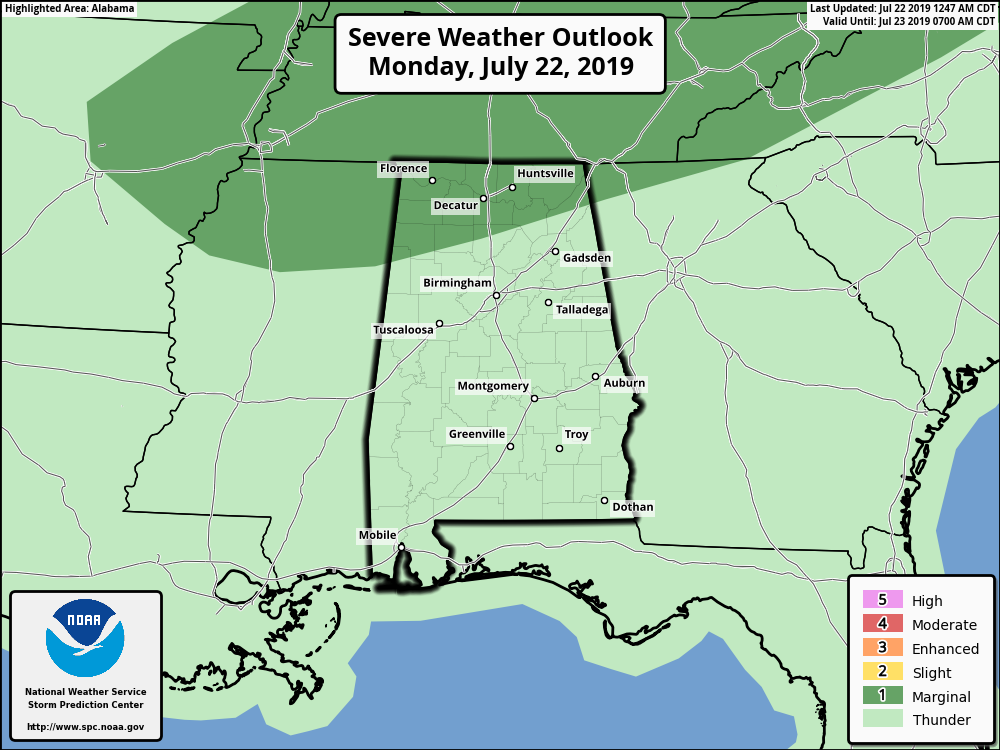
Then, as a rare July front approaches, we will maintain a good chance of showers and storms tonight over the northern half of the state. The Storm Prediction Center has defined a marginal risk of severe storms for the Tennessee Valley of north Alabama tonight; a few storms there could produce strong, gusty winds as they pass through.
TUESDAY: Showers and storms will linger during the morning; by afternoon the best chance of showers and storms will shift down into the southern half of Alabama as the surface front continues the southward journey. The high Tuesday will be only in the low 80s because of clouds and showers.
WEDNESDAY THROUGH FRIDAY: Unusually dry air for midsummer will cover Alabama, setting the stage for delightful weather Thursday and Friday — sunny days, lower humidity and cooler nights. Highs will be in the 80s and lows mostly in the 60s. Some of the cooler valleys could see upper 50s early Wednesday and Thursday morning for a nice preview of fall. Moist air begins to return to south Alabama Friday and we will mention a chance of showers there, but the northern half of the state should remain dry. Friday’s high will be in the upper 80s for most places.
THE ALABAMA WEEKEND: The “muggies” come back, and the pattern flips back to a typical summer situation. That means partly sunny days with scattered, mostly afternoon and evening showers and thunderstorms Saturday and Sunday with highs between 87 and 90 degrees. The dry air won’t stay here long, as you might expect. The chance of any one spot seeing rain both days is around 30%.
NEXT WEEK: Routine summer weather will continue for much of the week — partly sunny days, highs in the low 90s and the usual round of random, scattered showers and storms daily.

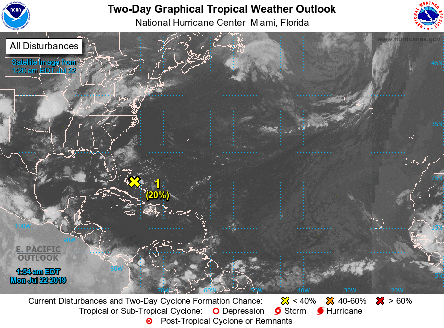
TROPICS: Invest 94L is around the Bahamas this morning; the National Hurricane Center gives it a 20% chance of developing into a tropical depression or storm within 48 hours. Odds of development are low because of strong winds aloft associated with the same pattern that is bringing the front into Alabama this week. There will be no impact to the Gulf of Mexico, and if by chance anything develops there it will head northeast, out to sea.
ON THIS DATE IN 1993: The levee holding back the flooding Mississippi River at Kaskaskia, Illinois, ruptures, forcing the town’s people to flee on barges. The incident at Kaskaskia was the most dramatic event of the flood. At 9:48 a.m. the levee broke, leaving the people of Kaskaskia with no escape route other than two Army Corp of Engineers barges. By 2 p.m. the entire town was underwater.
BEACH FORECAST: Click here to see the AlabamaWx Beach Forecast Center page.
WEATHER BRAINS: You can listen to our weekly 90-minute show any time on your favorite podcast app. This is the show all about weather featuring many familiar voices, including the meteorologists at ABC 33/40.
CONNECT: You can find me on the major social networks:
Facebook
Twitter
Instagram
Pinterest
Snapchat: spannwx
For more weather news and information from James Spann and his team, visit AlabamaWx.


