James Spann: Alabama stays hot, but with very low humidity for August
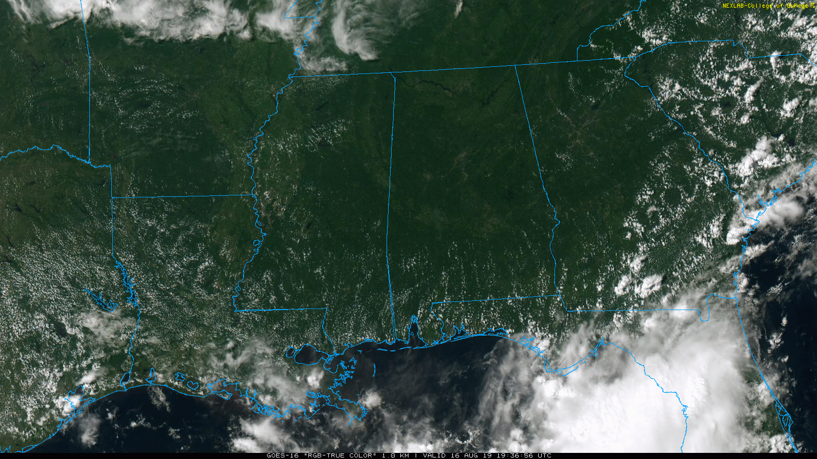
DRY AIR: Temperatures are generally between 90 and 97 degrees across Alabama this afternoon, but the air is very dry, with dew points down in the 50s in many areas. At 2:30 p.m. the Shelby County Airport was up to 97 degrees, but the dew point was down to 51, making the relative humidity only 21 percent, amazingly low for summer in Alabama. The sky is sunny, and there is no rain anywhere in the state. The sky will be clear tonight.
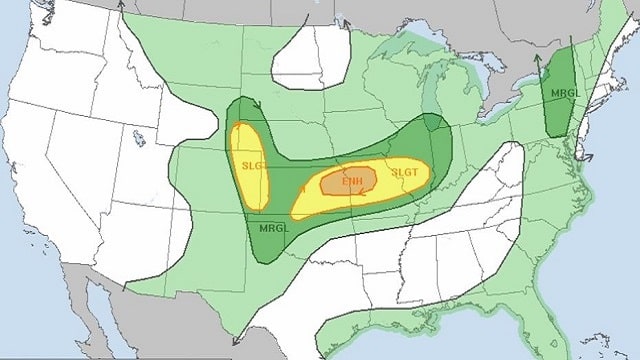
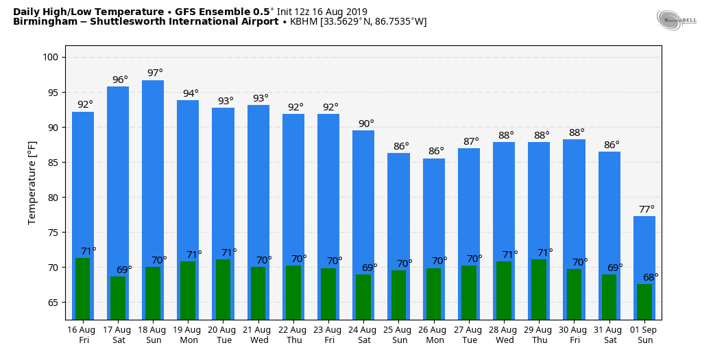
THE ALABAMA WEEKEND: No real change Saturday; expect a sunny sky with a high in the 90s. Humidity levels will stay low for August. Then, on Sunday, showers and storms are possible over the southern half of the state as moisture levels begin to rise. North Alabama will remain dry with a high between 92 and 96 degrees.
NEXT WEEK: An upper trough will bring the chance of scattered showers and storms to the state Monday and Tuesday; global model data continues to suggest the best chance of getting wet will be over the southern half of Alabama. Confidence in the forecast over the latter half of the week is low because of model inconsistency, but we will mention the chance of scattered, mostly afternoon and evening thunderstorms, with the higher coverage Thursday and Friday.
AIR QUALITY ALERT SATURDAY: A “code orange” air quality alert has been issued for Jefferson and Shelby counties again Saturday because of ground-level ozone. The general public is not likely to be affected, but children, active adults and people with respiratory disease such as asthma should limit prolonged outdoor exertion, especially during the afternoon.
ON THIS DATE IN 1969: Emerging into the Gulf of Mexico, Hurricane Camille underwent a period of rapid intensification and became a Category 5 hurricane as it moved northward toward the Louisiana–Mississippi region. Despite weakening slightly the morning of Aug. 17, the hurricane quickly re-intensified back into a Category 5 hurricane before it made landfall a half-hour before midnight at Pass Christian, Mississippi. The actual maximum sustained winds of Hurricane Camille are not known, as the hurricane destroyed all the wind-recording instruments in the landfall area. Re-analysis data found peak winds of roughly 175 mph along the coast. A devastating storm tide of 24.6 feet occurred in Pass Christian. Camille is one of only four Category 5 hurricanes ever to make landfall in the continental United States (Atlantic basin), the others being the 1935 Labor Day Hurricane, which impacted the Florida Keys; Hurricane Andrew in 1992, which impacted south Florida; and Hurricane Michael in 2018, which impacted the Florida panhandle.
ON THIS DATE IN 1992: One of the most destructive United States hurricanes of record started modestly as a tropical wave that emerged from the west coast of Africa on Aug. 14. The wave spawned a tropical depression on Aug. 16, which became Tropical Storm Andrew the next day.
BEACH FORECAST: Click here to see the AlabamaWx Beach Forecast Center page.
WEATHER BRAINS: You can listen to our weekly 90-minute show any time on your favorite podcast app. This is the show all about weather featuring many familiar voices, including the meteorologists at ABC 33/40.
CONNECT: You can find me on the major social networks:
Facebook
Twitter
Instagram
Pinterest
Snapchat: spannwx
For more weather news and information from James Spann and his team, visit AlabamaWx.