James Spann: Mostly dry weekend ahead for Alabama, with strong storms next week
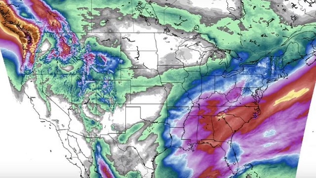
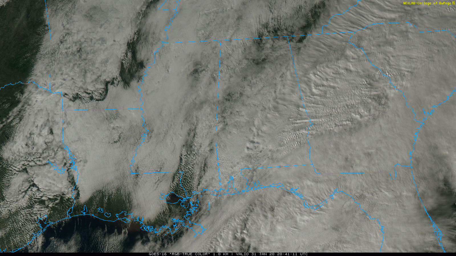
RADAR CHECK: Clouds cover much of Alabama this afternoon, but rain today has been very light and spotty. Most places haven’t seen enough rain to measure, and we are seeing just a few light showers over the southeast part of the state at mid-afternoon. Temperatures are in the upper 40s and low 50s; the average high for Jan. 31 at Birmingham is 55.
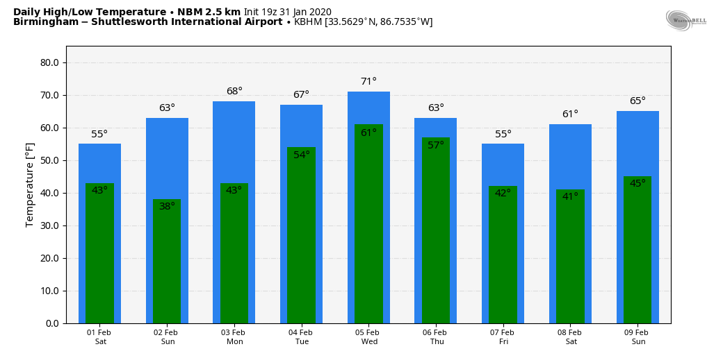
THE ALABAMA WEEKEND: An upper trough will have the potential to squeeze out a few isolated showers across Alabama Saturday morning; otherwise we expect clouds to give way to some partial clearing by mid to late afternoon with a high in the mid 50s. Sunday will be brighter and warmer; with a good supply of sunshine we project a high in the mid 60s.
NEXT WEEK: Monday will be a spring-like day — lots of sunshine with a high around 70 degrees. Clouds increase Monday night, and we will bring in the chance of showers Tuesday and Tuesday night. An approaching cold front will bring the chance of strong, possibly severe thunderstorms to Alabama by Wednesday afternoon and Wednesday night. The Storm Prediction Center has a decent part of the state in a severe weather risk in its outlook for Wednesday.
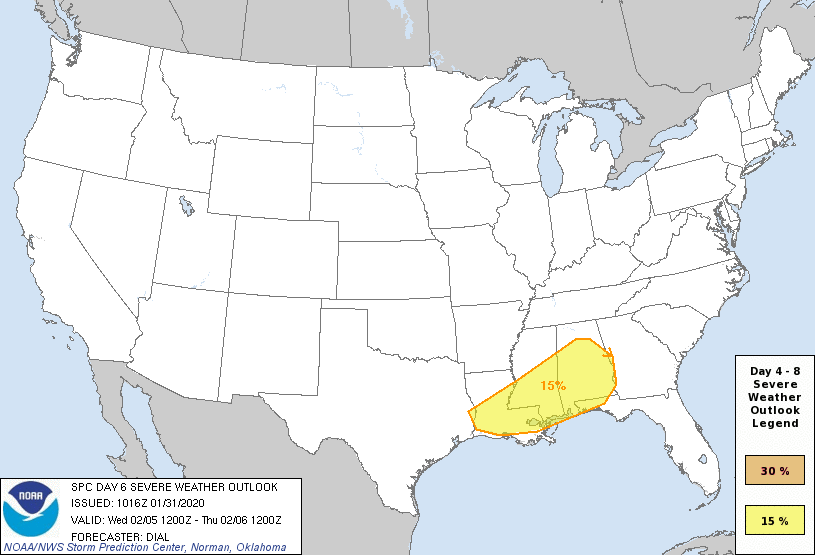
It is too early to define the magnitude of the threat or specific timing; it’s just something to watch for now. Thursday will be cooler with lingering light rain, followed by a dry Friday. Highs drop back into the 50- to 55-degree range on those two days.
RAIN UPDATE: Birmingham’s rain total for January as of early this morning is 7.82 inches, 3.15 inches above average. South Alabama has been much drier, however; Mobile’s total is 4.43 inches, 1.03 inches below average.
ON THIS DATE IN 1989: The barometric pressure at Norway, Alaska, reached 31.85 inches (1078.4 mb) establishing an all-time record for the North American continent. The temperature at the time of the record was about 46 degrees below zero. Severe arctic cold began to invade the north central U.S. The temperature at Grand Fall, Montana, plunged 85 degrees in 36 hours. Valentine, Nebraska, plummeted from a record high of 70 degrees to zero in just nine hours. Northwest winds gusted to 86 mph at Lander, Wyoming, and wind chill readings of 80 degrees below zero were reported in Montana. Sixty-four cities in the central U.S. reported record highs for the date as readings reached the 60s in Michigan and the 80s in Kansas.
STORM SPOTTER TRAINING: Our annual storm spotter training is Saturday, Feb. 8 at the Hoover Met. It begins at 9:30 and there is no cost. We will offer both the basic and advanced training sessions; we expect to wrap up by 2:30. No need to register; just show up with a curious mind. We need more trained storm spotters. Help us make the warning process better.
BEACH FORECAST: Click here to see the AlabamaWx Beach Forecast Center page.
WEATHER BRAINS: You can listen to our weekly 90-minute show any time on your favorite podcast app. This is the show all about weather featuring many familiar voices, including the meteorologists at ABC 33/40.
CONNECT: You can find me on the major social networks:
Facebook
Twitter
Instagram
Pinterest
Snapchat: spannwx
For more weather news and information from James Spann and his team, visit AlabamaWx.


