Scott Martin: Beautiful weekend ahead for Alabama
A BEAUTIFUL, DRY SATURDAY: After starting the morning in the upper 20s to the mid-30s, we’ll have maximum sunshine and highs will top out in the upper 50s to the lower 60s. Skies will remain clear through the evening, but a few clouds will move in overnight. Lows will dip into the mid to upper 30s for most, with the colder valleys reaching the lower 30s.
SPRING FORWARD: Don’t forget to set those clocks ahead one hour before heading off to bed. Daylight Saving starts Sunday morning. This will also be a good time to put fresh batteries in your NOAA Weather Radios and smoke alarms.
WARMER ON SUNDAY: High pressure will dominate our weather, which means we’ll have another outstanding day for Sunday as skies will be mostly sunny and highs maxing out in the lower to mid-60s.
SHOWERS RETURN: A trough advances toward us on Monday, which will push the high pressure off of the East Coast. That will increase the flow of warmer and moisture-rich air across Alabama. Some light showers may be possible by the late afternoon, but showers will become likely especially for north and western Alabama during the evening. A few rumbles of thunder will be possible, but no organized strong storms are expected. Highs will reach the mid-60s to the lower 70s.
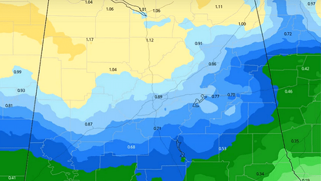
RAINY WORK WEEK: Showers and a few thunderstorms can be expected Tuesday as a wet pattern sets up through at least the end of the work week. Highs will be in the upper 60s to the lower 70s.
On Wednesday, more showers are expected to move into Alabama by late morning to early afternoon. A few thunderstorms may be possible late, but stronger storms are not expected. Highs will be in the lower to mid-70s for most, with some in the extreme south Alabama reaching the upper 70s.
On Thursday, we can expect a good chance of showers and thunderstorms throughout the day. Stronger storms are not expected. Highs will be in the upper 60s to the upper 70s.
On Friday, expect more showers, and a clap of thunder or two will remain likely as the work week comes to an end. Afternoon highs will be in the upper 60s to the mid-70s.
ALABAMA NWA CHAPTER MEETING: The Central Alabama Chapter of the National Weather Association will hold its first meeting of 2020 on Tuesday evening, March 31, at Vulcan Park. The guest speaker for the evening will be Dr. David Roueche, assistant professor of civil engineering at Auburn University. He will speak on the findings of his team’s research on mobile/manufactured homes and other weak-framed housing in Alabama during severe weather. For more information, please visit the chapter’s GroupSpaces site.
NWS BIRMINGHAM SKYWARN STORM SPOTTER TRAINING: The National Weather Service office in Birmingham will offer several online Basic Spotter Courses and a single Advanced Spotter Course over the next few months. These online courses are free and open to anyone who would like to learn more about what it takes to be a spotter and what to look for. More information can be found on the NWS Birmingham’s website.
BEACH FORECAST: Get the latest weather and rip current forecasts for the beaches from Bay St. Louis, Mississippi, to Panama City Beach, Florida, on our Beach Forecast Center page. There, you can select the forecast of the region you are interested in.
For more weather news and information from James Spann, Scott Martin and other members of the James Spann team, visit AlabamaWx.


