Scott Martin: Dry weekend for Alabama, but some wintry mischief possible Monday
THE ALABAMA WEEKEND: The cold-core upper low that brought us showers and a few snow flurries will be well off the East Coast today, but we see the next low beginning to develop over the Four Corners region. We’ll be dry and very cool with partly to mostly cloudy skies. Highs will be in the upper 30s to the upper 40s.
Sunday will be a brighter day; we’ll have mostly sunny skies throughout much of the day before clouds start to move in late. We’ll stay dry and afternoon highs will be in the lower 40s to the lower 50s.
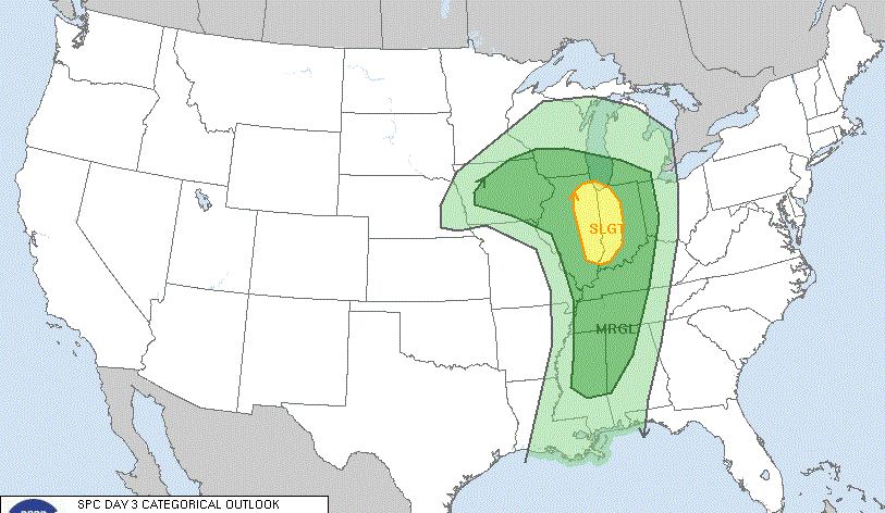
MONDAY: The low will be moving in our direction Monday but will weaken as it approaches, moves through and exits on Tuesday. At this point, the Global Forecast System is very stingy with any snowfall, keeping nearly all the activity as a cold rain. The European model is very close in agreement but allows a little more opportunity for flurries on the back side of the showers. The system really loses its punch and the showers will be out of here by midnight, if not earlier. A few flurries may end it off, but there should be no travel issues as daytime highs will be in the lower 40s to the lower 50s, with lows staying above freezing for everyone in Alabama except the northwestern quarter.
The GFS Probability of Total Snowfall map shows only a 10% chance of 1 inch of snowfall or more for the extreme northwestern parts of the state. The European model is a little more bullish, with chances for the northwestern quarter of the state ranging from 10% to 40% as you move northwest. With that being said, we’ll have to watch locations northwest of a line from Fayette to Jasper to Holly Pond to Scottsboro for the potential of some minor accumulation and a few slick spots early.
DRY THROUGH FRIDAY: The moisture will be well out of the state on Tuesday as skies start the slow process of clearing. Highs will be in the mid-40s to the lower 50s. Wednesday will feature plenty of sunshine and slightly warmer temperatures with highs in the 50s. Thursday will be a little warmer with highs reaching the mid-50s to the lower 60s underneath mostly sunny skies.
A deepening trough will move into Alabama on Friday that will bring us some clouds, but at this point rain does not look likely. However, temperatures will take a step backward with highs in the lower 40s to the upper 50s.
BEACH FORECAST CENTER: Get the latest weather and rip current forecasts for the beaches from Dauphin Island to Panama City Beach, Florida, on our Beach Forecast Center page. There, you can select the forecast of the region you are interested in.
For more weather news and information from James Spann, Scott Martin and other members of the James Spann team, visit AlabamaWx.