James Spann: Sun, scattered storms for Alabama; eyes on the Gulf

James Spann forecasts typical summer weather for Alabama through the weekend from Alabama NewsCenter on Vimeo.
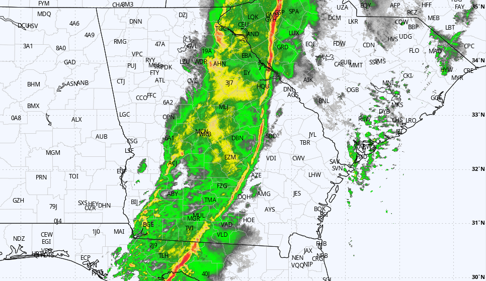
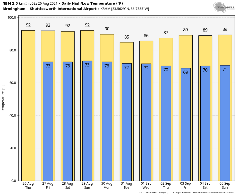
ROUTINE SUMMER WEATHER: We expect a routine summer weather pattern for Alabama Thursday, Friday and over the weekend — the classic mix of sun, heat, humidity and random, scattered showers and thunderstorms. Most of the storms will come from noon to midnight, and odds of any one spot getting wet are around 25% Thursday and 35-45% Friday through Sunday. Where storms do form they could be strong, with heavy rain and gusty winds. The high will be in the low 90s Thursday and between 88 and 91 degrees Friday through the weekend.
NEXT WEEK: We are forecasting increasing rain coverage for the state Monday and Tuesday as deep tropical moisture is pulled into the state on the east side of a tropical system that is expected to move into the Louisiana coast Sunday afternoon or Sunday night. For the moment it looks like the heaviest rain will be over the western half of the state, but there is considerable uncertainty in placing the axis of heaviest rain since the tropical system hasn’t even formed yet. Alabama will be in a favorable position for some tornado potential Monday and Tuesday, but again it is too early to know the magnitude of the threat.
Rain becomes more scattered over the latter half of the week as the tropical system lifts out; highs during the week will be in the 80s.
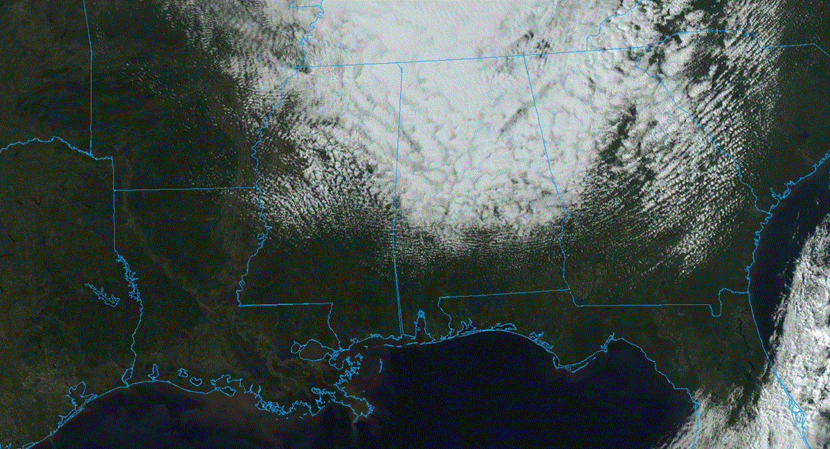
TROPICS: One disturbance east of Bermuda has a high chance of becoming a tropical depression or storm over the next five days, but it will move harmlessly through the open Atlantic, away from the U.S. Another wave is in the central Atlantic between the Lesser Antilles and the coast of Africa; for now the National Hurricane Center gives this a 30% chance of development through the weekend. If anything forms here, it also will most likely not affect the U.S.
INVEST 99L: Shower and thunderstorm activity continues to become better organized in association with a trough of low pressure less than 200 miles south of Jamaica. Environmental conditions remain conducive for development, and a tropical depression or storm is expected to form later today or Friday. This system is forecast to move northwestward over the northwestern Caribbean Sea near the Cayman Islands tonight, near Cuba and the Yucatan Peninsula of Mexico on Friday and into the Gulf of Mexico this weekend. Given the recent developmental trends, Tropical Storm Warnings for the Cayman Islands and Tropical Storm Watches for western Cuba could be required later today.
Regardless of development, locally heavy rainfall and flooding will be possible over portions of Jamaica and the Cayman Islands today and tonight, and will likely spread across Cuba and the Yucatan Peninsula Friday. In addition, this system could bring dangerous impacts from storm surge, wind and heavy rainfall to portions of the coasts of Louisiana, Texas and the Mexican state of Tamaulipas late this weekend and early next week. However, uncertainty remains large since the system has yet to form. Interests in these areas should closely monitor the progress of this system and ensure they have their hurricane plan in place. An Air Force Reserve reconnaissance aircraft is scheduled to investigate the system later today, if necessary.
Model data suggests there is a good chance we will have a hurricane in the Gulf of Mexico this weekend, and for now the consensus is for landfall somewhere on the Louisiana coast Sunday afternoon or Sunday night. Again we stress this could easily change, but for now it looks like the main wind and storm surge impact will be on the Louisiana and Mississippi coast. Dangerous rip currents will be likely eastward through the Florida Panhandle. It is too early to forecast the impact for any specific point on the Gulf Coast.

ON THIS DATE IN 1976: A weak tornado touched down briefly in the Hockley Hills near Kiana, Alaska, about 29 miles north of the Arctic Circle. This tornado is the most northerly report of a tornado on record. Kiana is 545 miles northwest of Anchorage.
ON THIS DATE IN 1992: Hurricane Andrew made a second landfall near Burns Point, Louisiana, as a Category 3 hurricane. Morgan City, Louisiana, recorded sustained winds of 92 mph with a peak gust of 108 mph. Hammond, Louisiana, was deluged with 11.92 inches of rain. As Andrew moved inland and weakened, it spawned 47 tornadoes from this date through Aug. 28 from the South to the Mid-Atlantic states.
BEACH FORECAST: Click here to see the AlabamaWx Beach Forecast Center page.
WEATHER BRAINS: You can listen to our weekly 90-minute show any time on your favorite podcast app. This is the show all about weather featuring many familiar voices, including the meteorologists at ABC 33/40.
CONNECT: You can find me on the major social networks:
For more weather news and information from James Spann and his team, visit AlabamaWx.