Scott Martin: Sunny days ahead for Alabama; Freeze Watch tonight
THIS WEEKEND: Saturday will be very cool; skies will be sunny and afternoon highs will be below seasonal normals. Highs will make it only into the upper 40s to the upper 50s for most, with lower 60s possible in extreme southeastern Alabama.
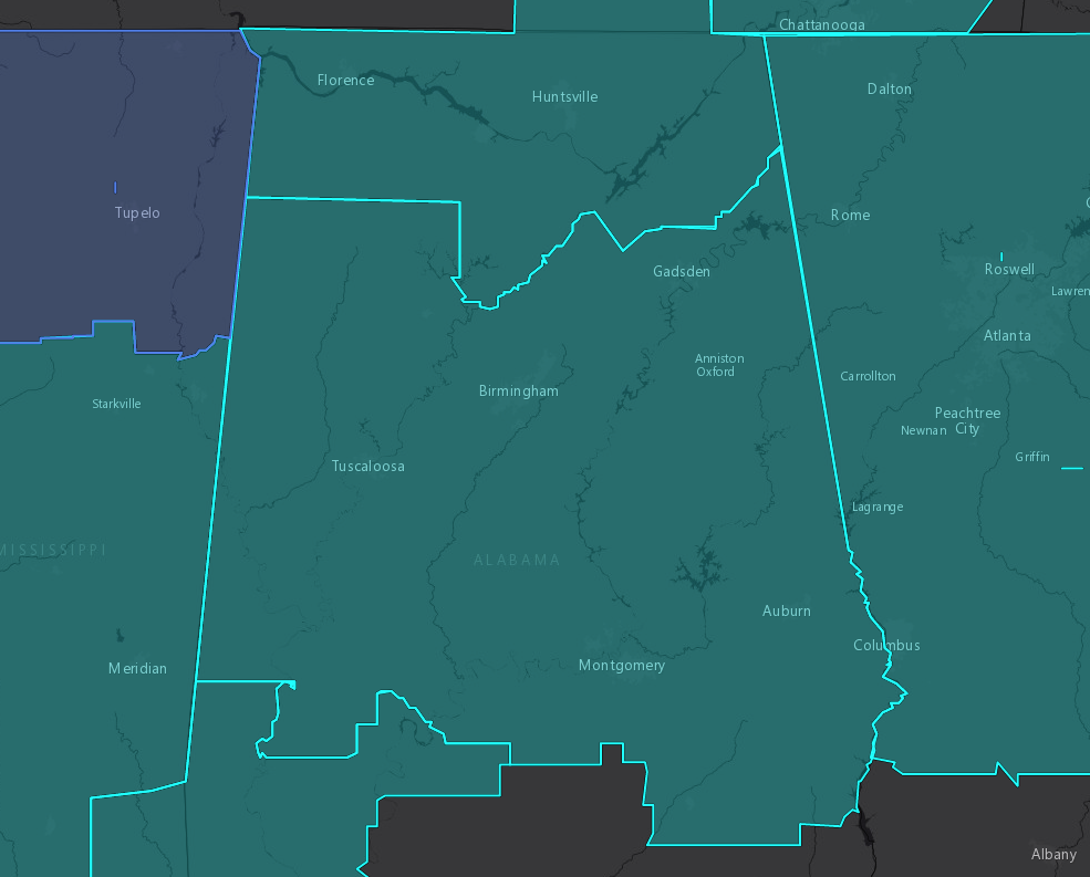
A Freeze Watch goes into effect at 9 p.m. Saturday night and is expected to expire at 8 a.m. Sunday morning for counties in north and central Alabama, as overnight lows are expected to drop into the upper 20s to the lower 30s.
After the cold start Sunday morning, temperatures will make a nice recovery by the afternoon. High will reach the upper 50s to the lower 60s underneath near-complete sunshine.
NEXT WEEK: Ridging will start to push the colder air out of the state for the first half of the work week; we’ll see plenty of sunshine through Wednesday. Highs will start off in the mid-50s to the mid-60s on Monday with sunny skies. Same story but warmer on Tuesday with highs in the mid to upper 60s. Sunny and dry again on Wednesday, with highs reaching the upper 60s to the lower 70s.
A weak front may bring a few light showers on Thursday, but models continue to trend drier with this system. Highs will be in the lower 60s to the lower 70s.
We’ll have to watch a surface low that will develop to our southwest on Friday and eventually will bring a good chance of showers and maybe a few rumbles of thunder during the late afternoon through overnight over the southern half of the state; at this point, severe weather is unlikely. The northern half of the state looks to stay dry. Highs will be in the upper 50s to the lower 70s.

TROPICS: The tropics are quiet and no new tropical cyclones are expected to form over the next five days. The end of the Atlantic hurricane season is just 17 days away on Nov. 30.
ON THIS DATE IN 1933: The first dust storm of the great dust bowl era of the 1930s occurred. The storm, which had spread from Montana to the Ohio Valley the day before, prevailed from Georgia to Maine, resulting in a black rain over New York and a brown snow in Vermont. Parts of South Dakota, Minnesota and Iowa reported zero visibility on Nov. 12. On Nov. 13, dust reduced the visibility to half a mile in Tennessee.
For more weather news and information from James Spann, Scott Martin and other members of the James Spann team, visit AlabamaWx.


