James Spann: One more dry day for Alabama; rain, snow this weekend
PLEASANT WINTER AFTERNOON: Temperatures have reached the low to mid 60s over the western half of the state this afternoon with 50s elsewhere. The sky is partly to mostly sunny, and tonight will be mostly fair with a low in the 30s. We have one more dry day ahead. Friday will be mostly sunny with a high between 55 and 60 degrees. Clouds increase Friday night.
THE WEEKEND: Saturday will be cloudy with highs in the mid 50s. Rain moves into the western part of the state by midday, and that rain will be widespread statewide later in the day and Saturday night. This will be a good soaking for the state, with amounts of 1 to 2 inches likely. A few strong storms are possible along the Gulf Coast; there is a low-end marginal risk (level 1 out of 5) of severe thunderstorms from near Perdido Key to Carrabelle.
SNOW POTENTIAL SUNDAY: Much colder air will roll into the state Sunday; temperatures will fall into the mid 30s over the northern third of the state, where areas of snow are possible during the day. There will always be uncertainty in any snow forecast for Alabama three days out, but for now it looks like some light accumulation is possible mainly north of I-20, especially on grassy areas. The higher snow accumulation probabilities are over northeast Alabama; amounts for now are expected to be generally 1 inch or less, although isolated heavier amounts are possible.
With temperatures in the mid 30s as the snow falls Sunday, major travel impact isn’t expected for now through the afternoon (roads should be just wet). However, temperatures will go below freezing Sunday night, and some patchy black ice is possible, mainly on bridges.
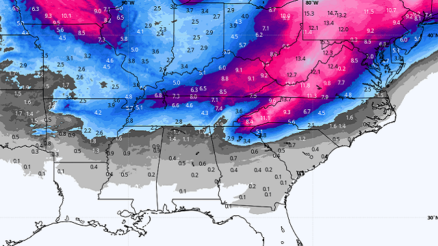
This system will have major travel impact Sunday on areas northeast of Alabama, including parts of Georgia, the Carolinas, Virginia and West Virginia, where significant amounts of snow and ice are expected. Be aware of this if you are traveling in that direction.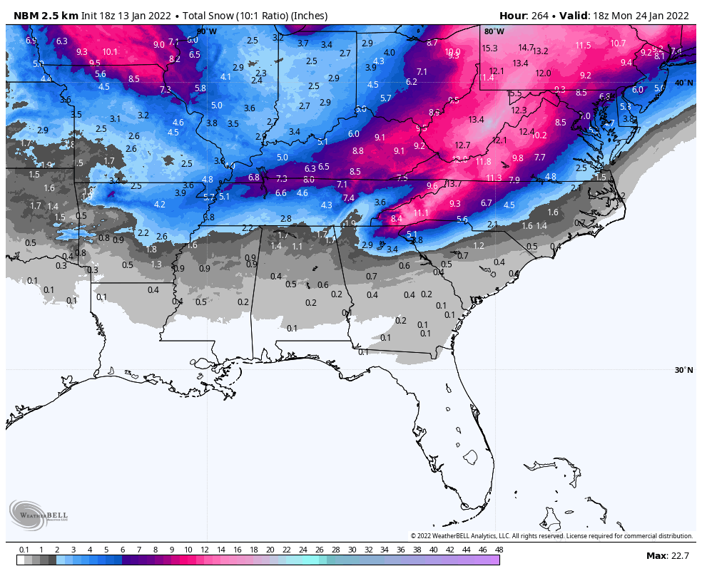
NEXT WEEK: Monday will be cold and dry, with a high in the 40s. We warm into the 50s Tuesday and Wednesday ahead of a cold front that will likely produce some rain for the state Wednesday afternoon and Wednesday night. Dry and much colder air returns Thursday and Friday; parts of north Alabama could hold in the 30s all day Thursday.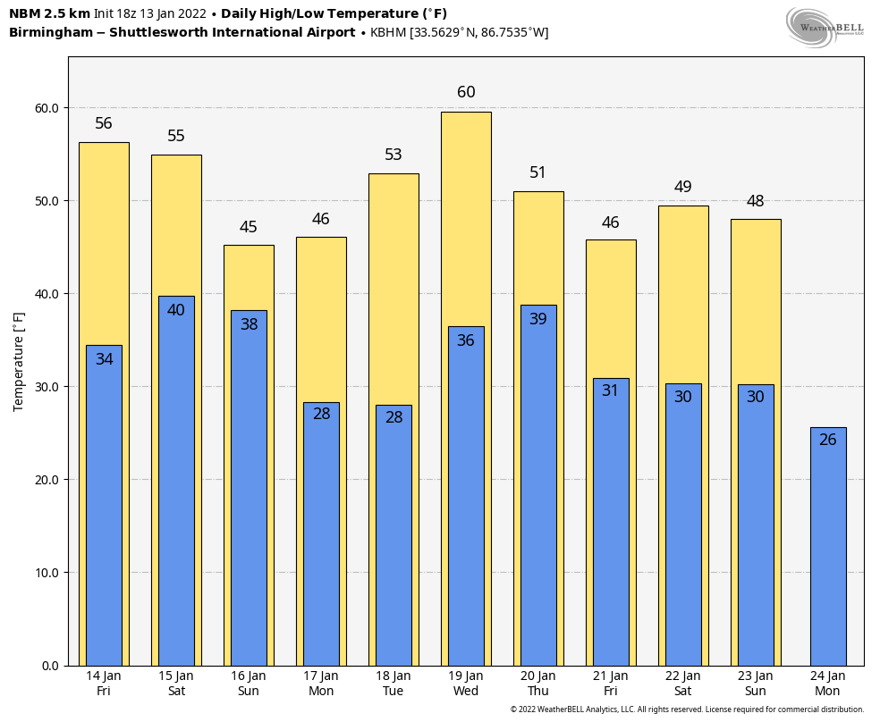 ON THIS DATE IN 1982: Much of the eastern and southern U.S. (including Alabama) was in the midst of a severe cold wave and ice/snow event. In Washington, D.C., that day, Air Florida Flight 90 crashed into the 14th Street Bridge over the Potomac River. Striking the bridge, it hit seven occupied vehicles and destroyed 97 feet of guard rail before plunging through the ice into the Potomac River. The aircraft was carrying 74 passengers and five crew members. Only four passengers and one crew member (a flight attendant) were rescued from the crash and survived. Another passenger, Arland D. Williams Jr., assisted in the rescue of the survivors, but drowned before he could be rescued. Four motorists on the bridge were killed. The survivors were rescued from the icy river by civilians and professionals.
The National Transportation Safety Board (NTSB) determined that the cause of the accident was pilot error. The pilots failed to switch on the engines’ internal ice protection systems, used reverse thrust in a snowstorm prior to takeoff, tried to use the jet exhaust of a plane in front of them to melt their ice, and failed to abandon the takeoff even after detecting a power problem while taxiing and having ice and snow build up on the wings.
BEACH FORECAST: Click here to see the AlabamaWx Beach Forecast Center page.
WEATHER BRAINS: You can listen to our weekly 90-minute show any time on your favorite podcast app. This is the show all about weather featuring many familiar voices, including the meteorologists at ABC 33/40.
CONNECT: You can find me on the major social networks:
For more weather news and information from James Spann and his team, visit AlabamaWx.


