James Spann: Lower humidity levels for Alabama over the weekend; isolated storms later today
James Spann forecasts a humidity drop for Alabama this weekend from Alabama NewsCenter on Vimeo.
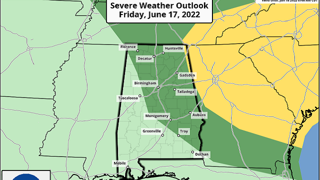
RADAR CHECK: We had isolated thunderstorms overnight across the northern half of the state; some were noisy with heavy rain. We have just dissipating showers on radar at daybreak over the northwest counties; otherwise it is a warm, muggy morning with temperatures in the 70s. Look for a partly sunny sky today with a high in the mid to upper 90s again. Widely scattered storms will form during the heat of the day ahead of a surface front. The Storm Prediction Center maintains a marginal risk (level 1 out of 5) of severe thunderstorms for areas east of a line from Waterloo to Brookwood to Troy to Abbeville.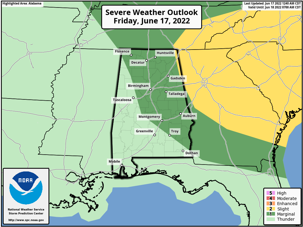 Heavier storms later today will produce strong winds and possibly some small hail; odds of any one spot getting wet this afternoon are 20-30%.
THE ALABAMA WEEKEND: Drier air enters the state late tonight and will slowly spread southward during the day Saturday. Isolated storms are possible ahead of the push of drier air over the southern counties of the state. North and central Alabama will enjoy a sunny day with lower humidity and a high between 91 and 95 degrees. By Sunday morning, we project lows between 57 and 64 thanks to the dry air. Sunday will be sunny statewide with a high generally in the low 90s.
NEXT WEEK: Heat levels rise again as the upper ridge builds; highs will be in the mid 90s Monday, upper 90s Tuesday and close to 100 Wednesday through Friday. Thankfully, heat indexes won’t be too excessive thanks to dry air in place, but that also means very few cooling showers or storms through the week. Temperatures will likely remain above average through the rest of June.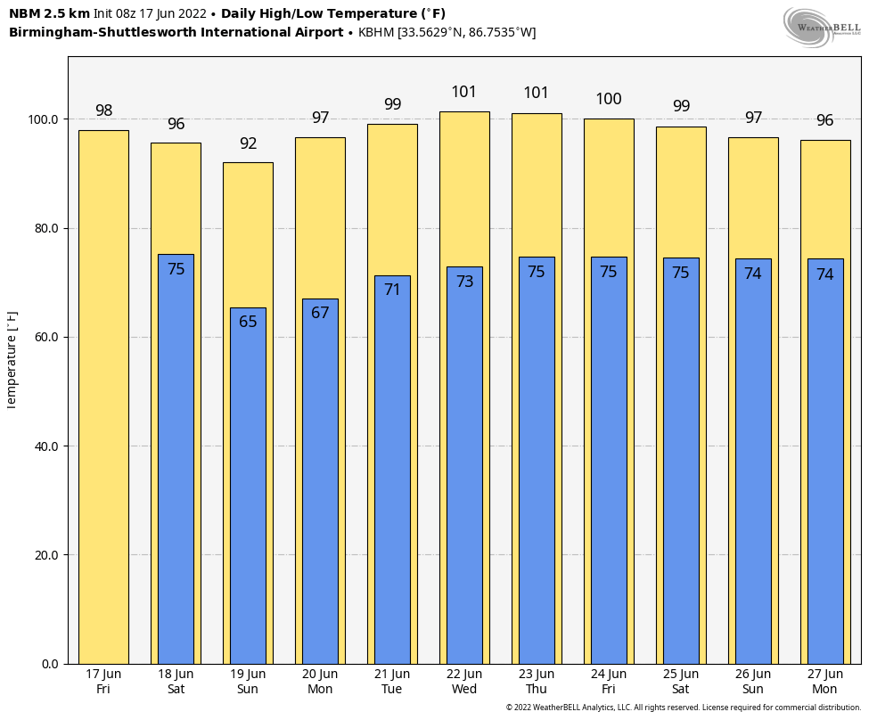 TROPICS: A trough of low pressure along the coast of Honduras is producing disorganized showers and thunderstorms over the northwestern Caribbean Sea. Some gradual development is possible today while the disturbance drifts west-northwestward over the Gulf of Honduras. Subsequent development is unlikely once the system moves inland over northern Central America and southeastern Mexico Saturday. Regardless of development, locally heavy rainfall is possible over Honduras, Belize and southeastern Mexico through the weekend.
The National Hurricane Center gives the system only a 10% chance of development; the rest of the Atlantic basin, including the Gulf of Mexico, remains very quiet.
HEAT PARADE: Here are some high temperatures across Alabama Thursday:
- Montgomery — 99
- Muscle Shoals — 99
- Dothan — 99
- Bessemer — 98
- Mobile — 97
- Cottondale — 97
- Huntsville — 97
- Clanton — 97
- Carbon Hill — 97
- Birmingham Airport — 96
- Tuscaloosa — 96
- Coker — 96
- Remlap — 96
- Millport — 96
- Helena — 96
- Crestwood — 96
- Moody — 96
- Ethelsville — 96
- Woodstock — 96
- Gadsden — 95
- Anniston — 95
- Hueytown — 95
- Morris — 95
- Birmingham (Oxmoor Valley) — 94
- Mountain Brook — 94
- Cullman — 93
- Alabaster — 93
- Gardendale — 92
- Heflin — 92
ON THIS DATE IN 1946: The third-deadliest tornado in Canadian history struck southwestern Ontario from Windsor to Tecumseh. Seventeen people were killed and hundreds injured. Damage was conservatively estimated at $1.5 million.
BEACH FORECAST: Click here to see the AlabamaWx Beach Forecast Center page.
WEATHER BRAINS: You can listen to our weekly show all about weather any time on your favorite podcast app. James Spann and a team of meteorologists from around the nation bring on interesting guests; it’s a great podcast for weather geeks.
For more weather news and information from James Spann and his team, visit AlabamaWx.


