James Spann: Summer storms fire up in Alabama again later today
James Spann forecasts little change in Alabama’s weather from Alabama NewsCenter on Vimeo.
SUN AND STORMS: Most of Alabama is generally rain-free early this morning, but more showers and storms will fire up in scattered, random locations from about noon to midnight. Like recent days, storms that form will be slow movers and will be capable of producing heavy rain, gusty winds, small hail and lots of lightning. Of course, it won’t rain everywhere; odds of any one spot seeing rain today are 50-60%. Otherwise, look for intervals of sun with a high between 87 and 90 degrees.
Expect scattered to numerous showers and storms Wednesday and Thursday, especially during the afternoons and evenings. The sky will feature more clouds than sun, and highs will be mostly in the upper 80s, below average for mid-August.
FRIDAY AND THE WEEKEND: Drier air will begin to push into the state Friday; most of the showers will be over the southern counties Friday afternoon. Over the weekend, a good portion of Alabama will be dry with humidity values down a bit. Nights will also be a little cooler, with lows mostly in the 60s. Any showers Saturday and Sunday will be over the southern quarter of the state, and even there they should be widely spaced. Highs will stay between 87 and 90 degrees for most communities.
NEXT WEEK: The weather will remain relatively dry Monday and Tuesday with only isolated showers; scattered showers and storms begin to increase over the latter half of the week as moisture levels rise again. Highs will be close to 90 most days; there is no sign of any excessive heat for the next 10 days or so.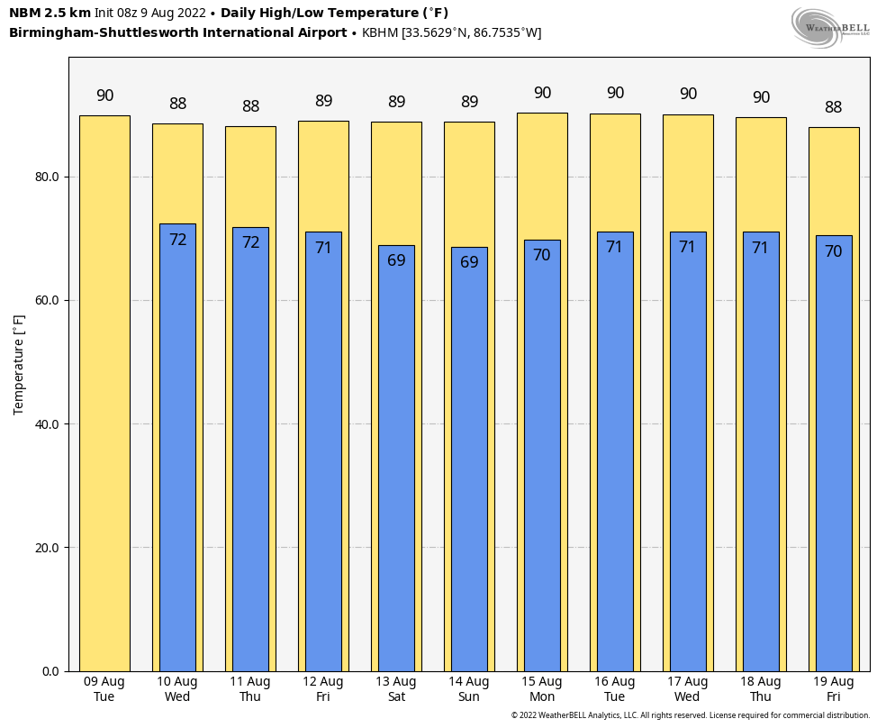
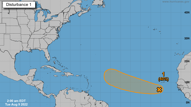
TROPICS: A tropical wave continues to produce a large area of disorganized cloudiness and thunderstorms over the eastern tropical Atlantic a few hundred miles south-southwest of the Cabo Verde Islands. Gradual development of this system is possible and a tropical depression could form around the middle to latter portion of the week before environmental conditions become less favorable by this weekend. This system is expected to move westward to west-northwestward at 15 to 20 mph across the tropical Atlantic during the next several days.
The National Hurricane Center continues to give the system a 40% chance of development over the next five days. If anything happens to form, most likely it will turn north well before reaching the U.S.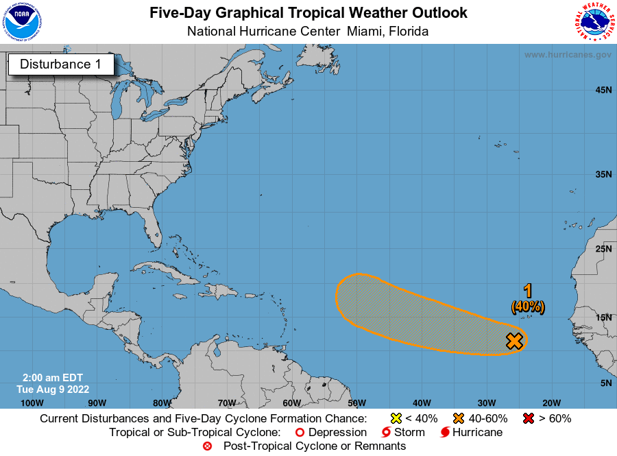 ON THIS DATE IN 1969: An F3 tornado hit Cincinnati, Ohio, killing four people and causing $15 million property damage. The tornado moved in a southeasterly direction at 40 to 50 mph.
BEACH FORECAST: Click here to see the AlabamaWx Beach Forecast Center page.
For more weather news and information from James Spann and his team, visit AlabamaWx.


