James Spann: Dry weather for Alabama through most of next week
James Spann has the midweek forecast for Alabama from Alabama NewsCenter on Vimeo.
ANOTHER COOL START: Here are some temperatures across Alabama just before sunrise:
- Gadsden — 54
- Cullman — 55
- Pell City — 55
- Bessemer — 56
- Evergreen — 56
- Eufaula — 56
- Muscle Shoals — 57
- Dothan — 57
- Anniston — 57
- Huntsville — 59
- Birmingham — 59
- Mobile — 59
- Tuscaloosa — 60
Sunny weather continues for the rest of the week with highs generally between 84 and 87 degrees.
THE ALABAMA WEEKEND AND NEXT WEEK: The long dry spell continues with lots of sunshine over the weekend and highs in the upper 80s. Next week, we project highs at or just over 90 degrees most days as a ridge begins to build across the southern U.S. A few showers could show up over south Alabama late in the week as moisture levels rise, but there is no evidence of any major rain event for Alabama for the next seven to 10 days.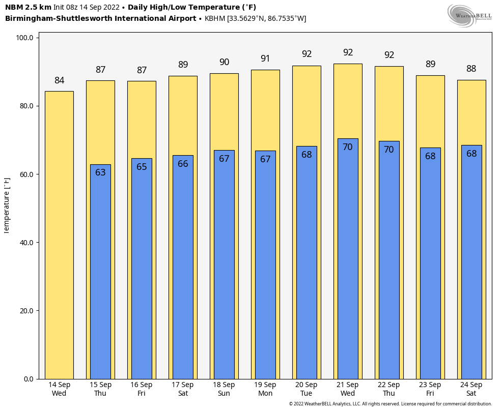 FOOTBALL WEATHER: Clear weather is the story for the high school football games across Alabama Friday night with temperatures falling into the 70s during the games.
Saturday, Auburn hosts Penn State (2:30 p.m. kickoff) at Jordan-Hare Stadium. The sky will be sunny and the temperature about 87 degrees at kickoff. Alabama will host Louisiana-Monroe (3 p.m. kickoff) at Bryant-Denny Stadium. It will be sunny and very warm, with temperatures falling from near 88 degrees at kickoff into the low 80s by the final whistle.
UAB is also at home, hosting Georgia Southern at Protective Stadium in downtown Birmingham (2:30 p.m. kickoff). Expect a sunny sky with a kickoff temperature around 87 degrees, falling into the low 80s by the end of the game.
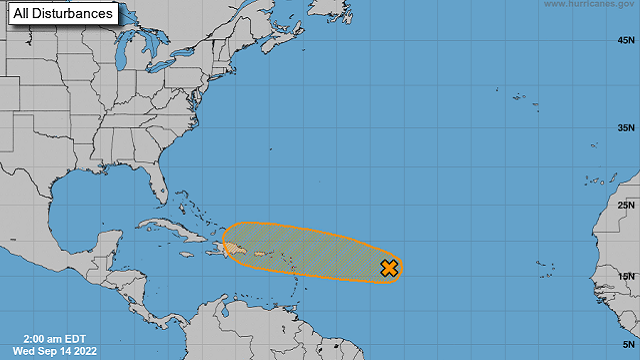
TROPICS: The National Hurricane Center is monitoring one tropical wave (Invest 96L) a little less than 900 miles east of the Lesser Antilles. Although environmental conditions are only marginally conducive, some additional development of this system is possible and a tropical depression could form during the next couple of days. If anything develops there, it will move toward Puerto Rico through the weekend. It could easily dissipate there over the mountainous island of Hispaniola; if anything survives, most global models suggest the system will turn northward before affecting the U.S.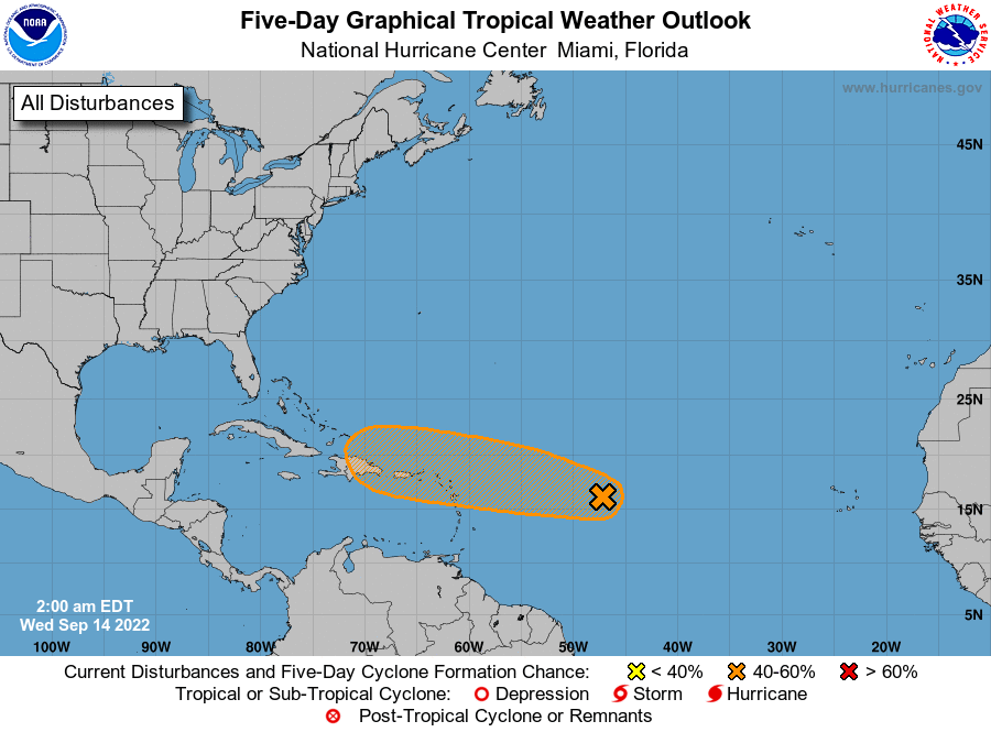 The rest of the Atlantic basin remains unusually calm for mid-September.
ON THIS DATE IN 1928: A violent, estimated F4 tornado, with winds of 200 mph, tore across Rockford, Illinois. The tornado first touched down eight miles south-southwest of Rockford and moved across the southeast part of the city. It was on the ground for 25 miles with a width varying from 200 to 500 feet. A total of 14 people were killed, with around 100 injuries reported in Rockford alone.
ON THIS DATE IN 2008: Hurricane Ike became extratropical. The St. Louis Metropolitan Area experienced hurricane conditions, with Ike’s remnants inflicting severe damage to homes. Several areas in Illinois and Indiana, already flooded by the frontal boundary to the north, saw significant additional rainfall. A state of emergency was declared for Cook County, Illinois, due to flooding of the Des Plaines River. Hurricane-force wind gusts were reported to the east of the center across parts of Kentucky, Indiana, Ohio and Pennsylvania with significant wind damage including structural damage to buildings and trees.
BEACH FORECAST: Click here to see the AlabamaWx Beach Forecast Center page.
For more weather news and information from James Spann and his team, visit AlabamaWx.


