Scott Martin: Strong to severe storms possible in Alabama late Sunday through Monday morning
We are starting off this morning with showers and storms off to our north and west over portions of Mississippi, Tennessee, Arkansas, Louisiana and Texas. A few light returns are showing up on radar over portions of north and central Alabama. However, that will change as this cold front starts to move in our direction, and rain chances will increase, becoming likely for the Tennessee Valley and north-central Alabama. Highs will reach the upper 60s to the mid 70s.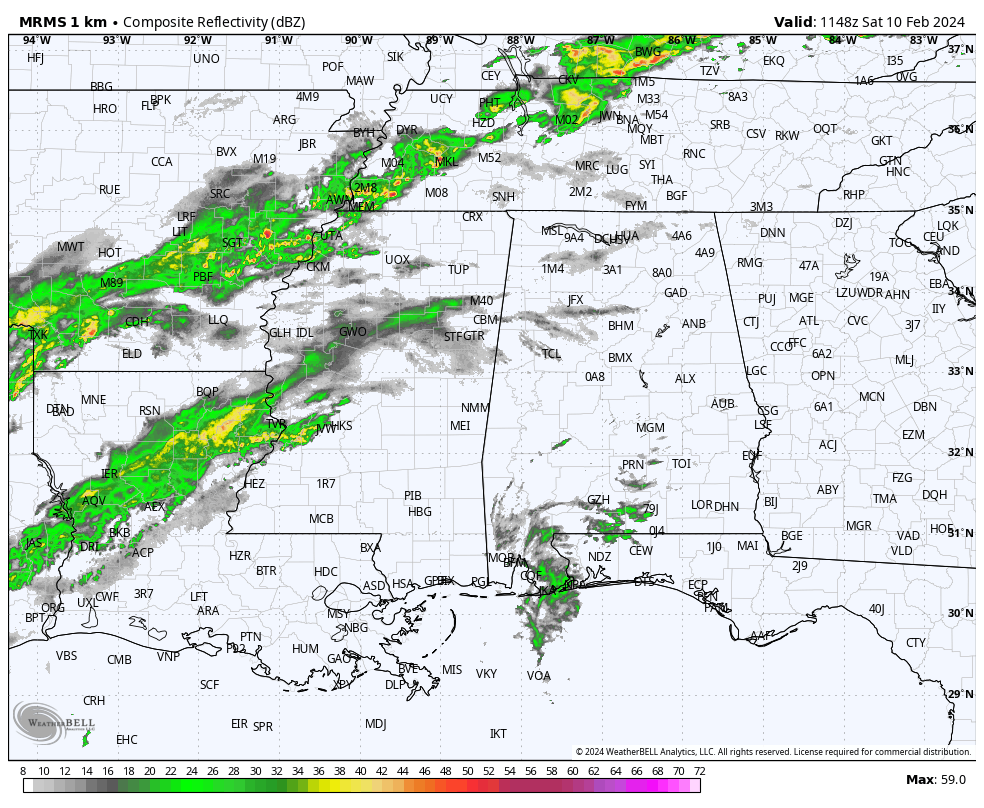
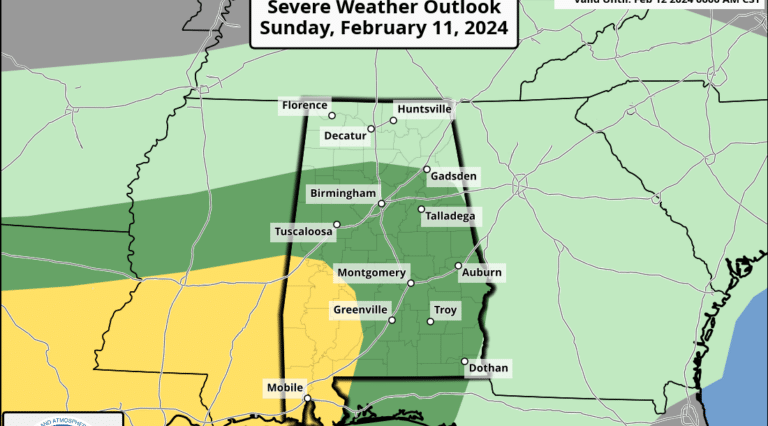
The cold front will be over north Alabama Sunday, and rain and storms will be likely statewide. Some rain may be heavy at times, and we could see a few strong to severe storms. Nearly all of central Alabama has been placed in a level 1 marginal risk for severe storms, with the southwest corner of the state under a level 2 slight risk. Tornadoes and damaging winds will be the threats, especially from Sunday evening through Monday morning. Highs will be in the lower 60s to the mid 70s.
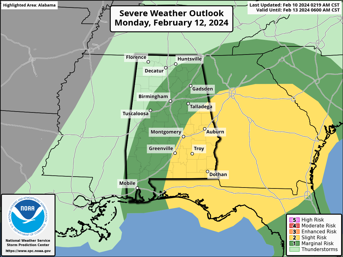
The front will have washed out over central Alabama on Monday, and strong to severe storms will be possible through the morning. A slight risk is up for the eastern and southeastern parts of the state, with much of the rest in a marginal risk. The good news is that we finally see an end to the rain and storms statewide by the evening. Highs will be in the lower 60s to the lower 70s.
Tuesday will be dry and cooler, with sunny skies and highs in the lower 50s to the lower 60s. Sunny skies can be expected again Wednesday, with highs in the upper 50s to the mid 60s. We’ll have a few clouds drift into the state on Thursday, but we’ll remain dry with highs in the upper 50s to the upper 60s. The first half of Friday will be dry, but more clouds and showers will move into the state during the evening and overnight. Highs will be in the mid 50s to the mid 60s.
For more weather news and information from James Spann, Scott Martin and other members of the James Spann team, visit AlabamaWx.


