Scott Martin: Scattered showers, storms possible in Alabama at times through the weekend

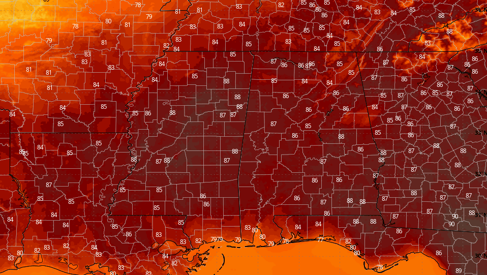
THE ALABAMA WEEKEND: An upper-level low over Alabama will be moving out, but scattered showers and storms will remain possible, with the main focus shifting to northeastern Alabama. While the activity will decrease after sunset, a few isolated showers and storms will be possible. Skies will be partly sunny otherwise with highs in the 80s.
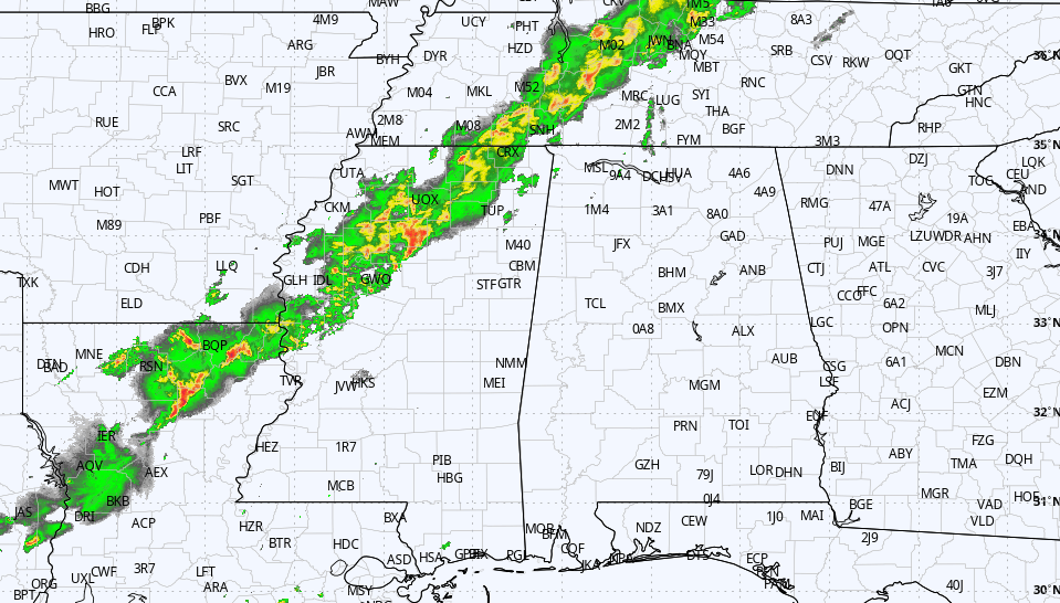
Scattered showers and storms look to form again during the heating of the day on Sunday, and with the influence of a system moving into the state from northern Mississippi, northwestern Alabama will have the higher rain chances. A shortwave will move into the state by evening in the form of a mesoscale convective system (MCS) that will make rain and storms likely well into the late night and overnight. Highs will be in the mid to upper 80s.
THE WORK WEEK: We’ll keep the scattered rain and storm chances in the forecast for Monday, as another shortwave is projected to move into the state by the evening. However, ridging will begin to build over the Southeast, which may limit those chances. Highs will be in the 80s.
Ridging will really limit the moisture levels on Tuesday, but there will be a small chance of isolated to scattered showers and storms. Most of Alabama will remain dry, with highs in the mid to upper 80s.
Wednesday will be much the same, but it will be hotter. We’ll have a small chance of a few isolated showers or storms. We’ll be watching to see if another MCS forms to our west and moves into Alabama, but for now much of the activity will stay north of the state. Highs will be in the mid 80s to the lower 90s.
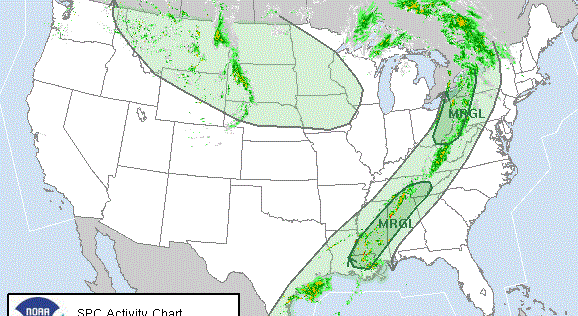
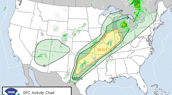
A strong cold front is expected to move into the state late Thursday that looks to create a highly unstable air mass ahead of it. This setup shows the potential of large hail and damaging winds with any storms that form, or with an MCS that may form and move through. Better forcing will be just north of Alabama, but we’ll have to watch for the potential for severe storms. Highs will be in the mid 80s to the lower 90s.
Most locations on Friday will see cooler temperatures after the front passes through, but rain and storms will continue to be possible along and ahead of the front. The good news is that pleasant spring weather is expected for the weekend ahead. Highs will range from the upper 70s to the upper 80s.
For more weather news and information from James Spann, Scott Martin and other members of the James Spann team, visit AlabamaWx.
