Bill Murray: Heat advisories in effect for parts of Alabama with some showers, storms

TODAY: Expect temperatures to climb into the mid-90s in most areas. The day will start with partly cloudy skies, but by late morning, diurnal convective activity will increase. Scattered showers and thunderstorms are likely, especially in the southeastern and southern parts of the state, where instability and high shear could lead to stronger storms.
Heat advisories are in effect for the Tennessee Valley of north Alabama, much of west-central and south-central Alabama, and southwest Alabama through Tuesday evening. The heat index is expected to reach 105-110 in the heat advisory areas. This can cause heat-related illness in individuals exposed to the heat for any extended period. Take frequent breaks in air conditioning if you are working, playing or just hanging out outdoors. Drink plenty of liquids, but avoid alcohol. Wear appropriate clothing. Make sure vulnerable people and pets near you are OK.
HOTTER THROUGH THE WEEK: This trend of high temperatures will continue throughout the week. An upper ridge will rebuild over the region, resulting in lower rain chances and higher heat levels. Highs will consistently reach the mid-90s, with only a 20-30% chance of isolated showers and storms each afternoon. Strong downburst winds and localized flooding are possible with any storm activity, so stay weather aware. The heat advisory may extend into the latter half of the week, especially in southwest Alabama.
WEEKEND WEATHER: The weekend will bring classic early August weather for Alabama, with partly sunny days and the potential for pop-up afternoon storms. Highs will remain in the low to mid-90s, with humidity levels keeping the heat index high. While widespread severe weather is not expected, isolated storms could produce gusty winds and heavy rainfall.
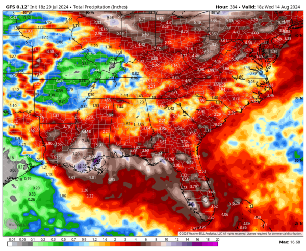
TROPICS: An area of disturbed weather in the central Tropical Atlantic is being closely monitored. While current environmental conditions are not favorable for development, this disturbance could become more organized as it approaches the Turks and Caicos Islands later this week. Depending on its path, the system could move toward the East Coast or into the eastern Gulf of Mexico. The potential impacts range from a low-end tropical storm near Florida to more significant strengthening near North Carolina early next week. It does not appear to be a significant threat to the northern Gulf of Mexico coast, but we will be watching.
ON THIS DATE IN 2014: An unusual upper-level trough over the eastern United States delivered a refreshing shot of cool, dry air into the South. Record lows across Alabama included 57 at Birmingham, 54 at Anniston, 56 in Tuscaloosa, 56 in Hunstville and 55 at Muscle Shoals. The 59 at Montgomery was not only a record for the date, but it tied the all-time record low for July in Alabama’s capital city. It was 53 in Pinson and 49 at Crossville.
For more weather news and information from James Spann, Bill Murray and other members of the James Spann team, visit AlabamaWx.
