James Spann: Alabama gets much colder tonight, with a few flurries this evening
James Spann forecasts some of the coldest air this season for Alabama from Alabama NewsCenter on Vimeo.
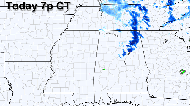
COLD FRONT: Today will be mostly cloudy across Alabama as a cold front passes through the state. Once the front passes this afternoon, north winds of 12-22 mph will bring in some of the coldest air we have experienced so far this season. Temperatures won’t get out of the 40s this afternoon, and with a deep upper trough and very cold air aloft, a few snow flurries or snow showers are possible across northeast Alabama, despite a dry air mass.
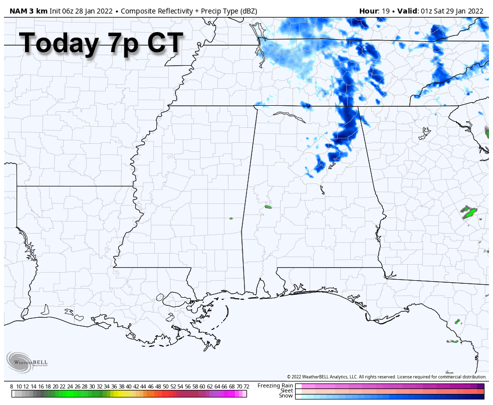 The best chance of seeing a few snow flakes is north and east of Birmingham; no accumulation or impact is expected with temperatures generally in the mid to upper 30s and a gusty north wind. The big story is the cold air; with a clearing sky temperatures will drop into the 17- to 24-degree range over the northern half of the state early Saturday, with a wind chill index between 8 and 18 degrees. Saturday will be sunny with a high between 37 and 42 degrees.
On Sunday, after a low in the 20s, temperatures will rise into the 50s by afternoon with a sunny sky.
NEXT WEEK: The weather will be dry and pleasant Monday and Tuesday with highs at or just over 60 degrees. Rain returns to the state Wednesday as moisture from the Gulf of Mexico surges northward. A cold front will roll through the state Thursday with more rain and possibly a thunderstorm. Global models are in better agreement, and for now the risk of severe storms looks low. In fact, we might see a few snow flakes on the back side of the departing system Thursday night. Friday will be cold and dry.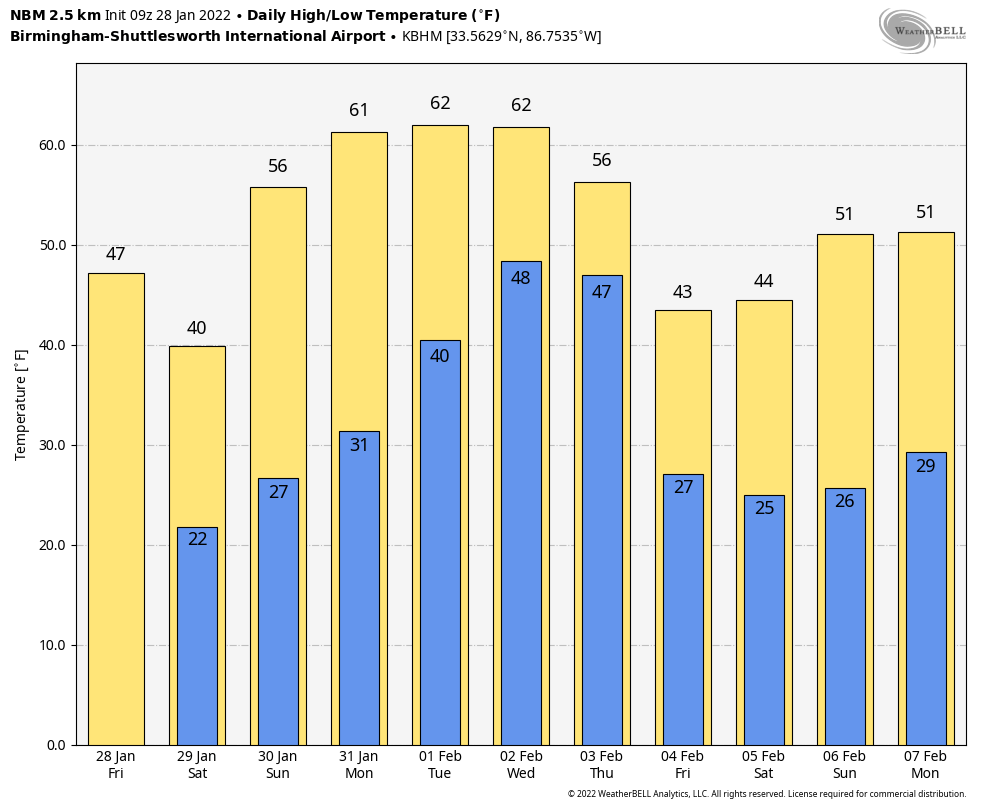 ON THIS DATE IN 2014: Snow amounts of 2-4 inches were forecast across the southern half of Alabama, where a Winter Storm Warning was in effect. Some snow was in the forecast for places like Birmingham, Tuscaloosa, Anniston and Gadsden, but nothing more than a dusting with no travel impact.
It was a forecast that we wish we could take back. Instead of a dusting, amounts of 1-2 inches were common across the I-20/59 corridor. Much of the snow melted initially due to warm soil, but the air temperatures were 17 to 20 degrees as the snow fell, and the snow melt quickly turned into ice — a flash freeze event rarely seen in Alabama. Roads were soon ice-covered, and as people left work early to get home, gridlock followed and a nightmare now known as “snowmageddon.” Alabama State Troopers responded to 731 vehicle accidents across the state Tuesday through Friday, Jan. 28-31. Sadly, nine deaths were attributed to accidents that occurred due to the icy road conditions. Some people were stranded on highways for more than 10 hours; many took shelter in stores, gas stations and restaurants.
In schools, teachers spent the night with, and looked after, their students whose parents were not able to pick them up and take them home. On those ice-covered highways, drivers got out of their cars to give other cars a nudge up the hill, and Good Samaritans came to the rescue in their four-wheelers. Some restaurant workers brought food and hot coffee to stranded motorists. One neurosurgeon, Dr. Zenko Hrynkiw, was at Brookwood Medical Center when he was needed for emergency brain surgery at Trinity Medical Center on Montclair Road. He would walk six miles to save the patient’s life.
It was the second-worst forecast bust in my career, topped only by the January 1982 ice storm, which started eight hours before the forecast time and brought catastrophic impact to the state.
BEACH FORECAST: Click here to see the AlabamaWx Beach Forecast Center page.
WEATHER BRAINS: You can listen to our weekly 90-minute show any time on your favorite podcast app. This is the show all about weather featuring many familiar voices, including the meteorologists at ABC 33/40.
CONNECT: You can find me on the major social networks:
For more weather news and information from James Spann and his team, visit AlabamaWx.


