Scott Martin: Hot, dry Saturday for Alabama; scattered storms return Sunday
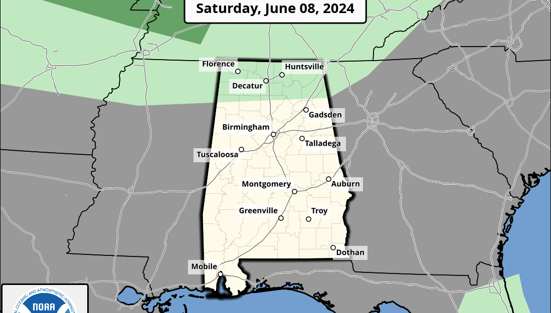
THE ALABAMA WEEKEND: Today will be brilliant across north and central Alabama, but it will be hot if you are spending time outdoors. Skies will be mostly sunny, so be sure to sunscreen up. This evening, we could see a few scattered showers and storms over the Tennessee Valley and down into north-central Alabama. Highs will be in the upper 80s to the mid 90s.
Sunday will feature a cold front pushing into the state, bringing scattered showers and storms, starting early in the Tennessee Valley and spreading into central Alabama by midafternoon. Dry air over southern Alabama will limit any thunderstorm development. We could see a couple of strong storms over the northern half of the state, as we’ll have instability and a decent amount of shear in place. As of now, we are not under a risk of severe weather. Highs will be in the upper 80s to the mid 90s.
THE WORK WEEK: You will notice a cooldown for the start of the work week, as the front will have ushered in cooler, drier air from the north. Monday will feature mostly sunny skies, but a few isolated showers and storms will be possible during the morning across central Alabama, and through the afternoon and early evening in the south. Highs will be in the lower 80s to the lower 90s.
Humidity will be lower on Tuesday and skies will be mainly sunny. Highs will be in the lower 80s to the lower 90s.
Wednesday will be pretty much the same; skies will be mostly sunny, and we’ll remain dry. Highs will be in the mid to upper 80s.
On Thursday, the Global Forecast System is painting a low over the eastern Gulf of Mexico that will send scattered showers and storms in our direction. For now, locations along and south of I-59 will have rain chances, with those chances increasing as you go southeast. Since we will be well north of the low, we are not looking at any severe weather. Highs will be in the mid 80s to the lower 90s.
On Friday, the low will move westward into the north-central Gulf of Mexico, which will continue the stream of moisture-rich air and scattered showers and storms in our direction. Again, those rain chances look to be south of I-59, but I can’t rule out a stray shower north of that. It will be hot and muggy, with highs in the upper 80s to the lower 90s.
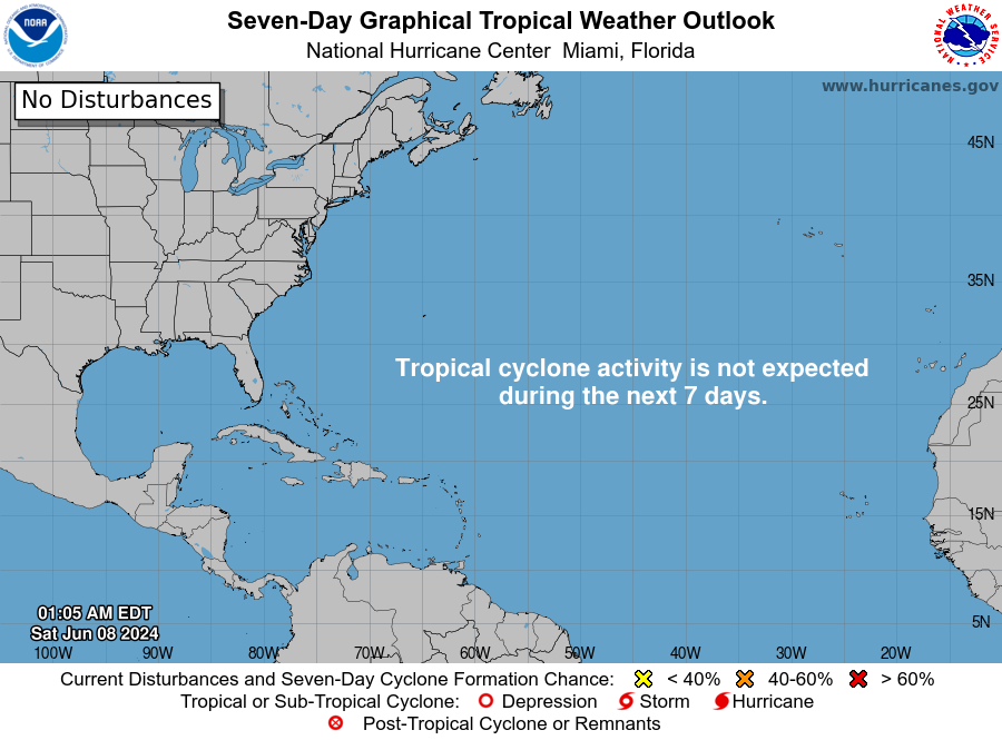
TROPICS: For now, it looks like that low over the Gulf will not develop any tropical characteristics. No tropical developments are expected for the next seven days over the Gulf of Mexico, Caribbean Sea and Atlantic Ocean.
For more weather news and information from James Spann, Scott Martin and other members of the James Spann team, visit AlabamaWx.


