Brian Peters: Alabama gets stormy today and in days ahead
Brian Peters: Stormy end coming for March in Alabama from Alabama NewsCenter on Vimeo.
TODAY: The weather will be changing rapidly during the day. Around sunrise there is a line of storms in Mississippi moving steadily eastward. There was a surface low in southwest Missouri with a cold front stretching into southeast Texas. The High Resolution Rapid Refresh model suggests this line will enter Alabama around 11 a.m. to noon and make its way steadily across the state from west to east. HRRR also is suggesting the potential for additional storms to develop into the evening behind what I’ll call the main line of thunderstorms.
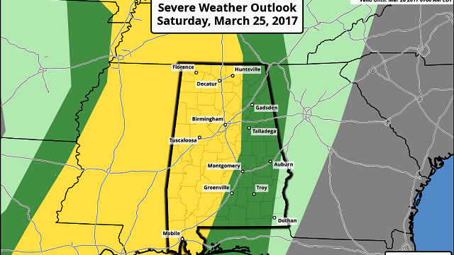
The Storm Prediction Center has the western half of the state in a slight risk for severe thunderstorms. Damaging wind along with some large hail appear to be the main threats, but with a squall line, you can never completely rule out the potential for isolated tornadoes.

SUNDAY: The trough axis moves by us by midday on Sunday, so Sunday afternoon looks dry and pleasant with highs in the lower 70s. But there won’t be a big lull, as another upper-level low comes out of the southern Rockies on Sunday poised to produce another round of severe weather just to our west-northwest.
NEXT WEEK: The SPC has identified the slight risk area centered on Memphis for Monday, and just clipping the extreme northwest corner of Alabama. So Monday afternoon/evening could be another stormy round for us. Temperatures will remain warm with highs in the upper 70s, perhaps some spots getting to 80.
Upper-level ridging takes command of the pattern for Tuesday and Wednesday, so look for good weather that will remain warm, with highs in the 70s. But there is little rest for weather folks, with a deep closed low over the southern Rockies on Wednesday that kicks out into the Lower Mississippi River Valley on Thursday. This is likely to produce yet another round of severe weather for Texas on Day 4 and for Arkansas/Northeast Texas on Day 5. The extreme low latitude of both the upper system and the surface system suggest that the main severe weather threat is likely to stay along the Gulf Coast. But this will bear watching as we get closer to the event, since model timing and position may be adjusted in future model runs.
By next Saturday, that low-latitude upper trough has moved off the Southeast coast as we turn our attention to yet another closed low in the vicinity of the Four Corners area. This system has the potential to provide the Lower Mississippi River Valley and the Southeast with an extended period of southwesterly flow aloft which could result in serious heavy rainfall for the area. This is getting into voodoo country, so I am not making a specific forecast for such an event just yet. But this pattern would be tapping into Pacific moisture, so we need to consider the possibilities.

DROUGHT UPDATE: Alabama, especially Central Alabama, still has lingering issues with extreme drought. The good news is that rainfall across Central Alabama for the next five days is likely to be in the range of 1.5 inches to 3 inches. This will continue to hammer away at drought conditions, perhaps bringing all of Alabama out of extreme drought and maybe even out of severe drought.

AT THE BEACH: The weather remains stormy at the beach until midweek. Rip current threat is also forecast to be high today, so be careful about venturing into the Gulf. Lows will be in the 60s and highs in the 70s. Click here to see the Beach Forecast Center page.
STORM SPOTTER TRAINING: The ABC 33/40 Weather Authority Team will be on the road through early April offering free storm spotter classes. We need more trained spotters in Alabama. By attending, you can make the severe weather warning process better. No need to register; just come with a curious mind. There is no age limit. Kids who love weather will enjoy it. You will never look at a storm the same again. Next week the team will be at Oxford on Tuesday (at the Oxford Civic Center) and Jasper on Thursday (at the Jasper Civic Center). All programs begin at 6:30 pm.
Stay weather aware today and be sure to have a way to receive weather warnings. Have a great day, be safe and Godspeed.
For more weather news and information from James Spann, Brian Peters and the rest of the James Spann team, visit AlabamaWX.


