James Spann: Warmer days ahead and strong storms Thursday for Alabama
VARIABLE CLOUDS, COOL: We have a mix of sun and clouds across Alabama this afternoon with temperatures mostly in the 60s, about 10 degrees below average for late April. No rain on radar, and the sky becomes mostly fair tonight. Most communities will see a low between 48 and 52 degrees early tomorrow morning. Not many of these cool nights left before the long, hot summer arrives.
TOMORROW/WEDNESDAY: We warm to near 80 degrees tomorrow with sunshine in full supply, followed by mid 80s Wednesday. Strong storms are possible west of Alabama Wednesday across Louisiana, Arkansas and adjacent states, but we stay dry with a good supply of sunshine.
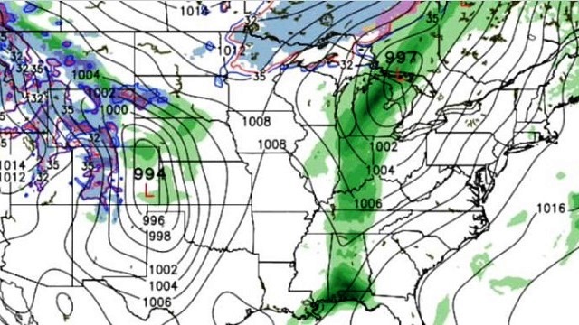
STRONG STORMS POSSIBLE THURSDAY: Clouds return to the state Thursday, and a surface low over the Great Lakes will drag a cold front through Alabama. The air will be very unstable, with potential for surface-based CAPE values to exceed 3,000 j/kg by afternoon. This will bring a chance of strong to severe thunderstorms to the state during the daytime; it is too early to determine the magnitude of the threat and the timing. For now, the Storm Prediction Center does not have any risk defined in its outlook for Thursday.
FRIDAY AND THE WEEKEND: Friday and Saturday will be dry and very warm, if not hot, for late April. We expect mid 80s Friday, and by Saturday the high will be in the 87- to 90-degree range. A significant severe weather threat is setting up west of Alabama late this week and into the weekend; the SPC already has this region blanketed in severe weather risks. The latest run of the Global Forecast System model hints that Sunday in Alabama will stay mostly dry, but showers and storms will move into the state Sunday night and possibly into Monday morning. These storms could be strong to severe, but there just isn’t a way of defining the threat so far in advance.
You know the routine; we need to get through the event Thursday, and then we can focus on Sunday night.
NEXT WEEK: Showers and storms will exit the state Monday morning, and Monday will be much cooler with a high closer to 70 degrees. Another round of storms is likely toward the end of next week.

SATURDAY’S SEVERE WEATHER EVENT: An EF-1 tornado touched down Saturday evening at Jones Chapel in Cullman County. See the essay I wrote concerning the warning process surrounding that event.
Click here to see the Beach Forecast Center page.
WEATHER BRAINS: You can listen to our weekly 90–minute netcast anytime on the web, or on iTunes. This is the show all about weather featuring many familiar voices, including meteorologists at ABC 33/40. We will produce this week’s show tonight at 8:30. You can watch it live here.
CONNECT: You can find me on all of the major social networks:
Facebook
Twitter
Google Plus
Instagram
Pinterest
Snapchat: spannwx
For more weather news and information, visit AlabamaWX.


