James Spann: Alabama gets scattered to numerous showers, storms next two days

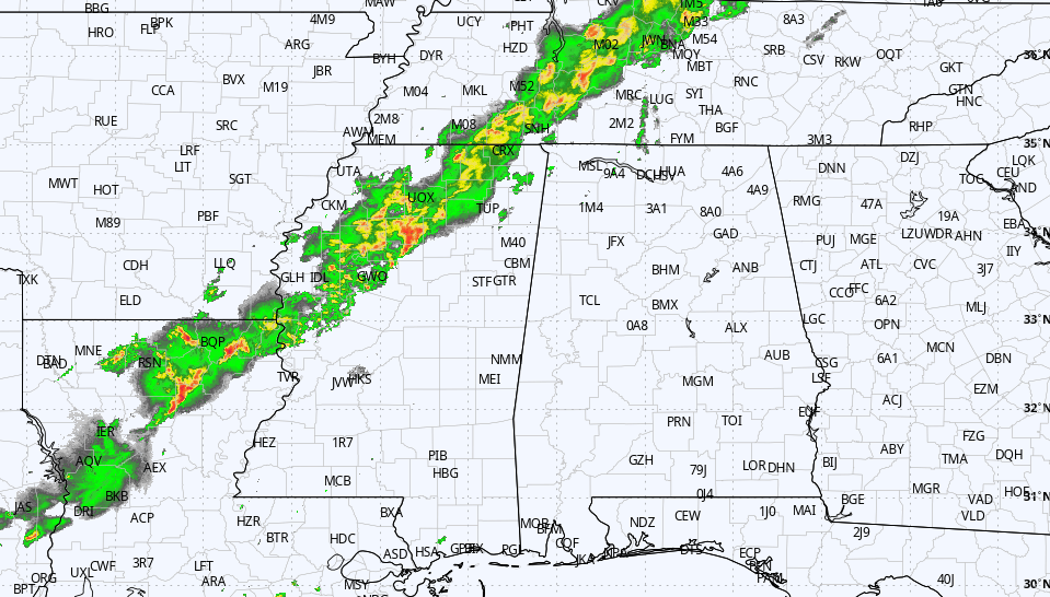
RADAR CHECK: We have a classic case of random, scattered showers and thunderstorms on a summer afternoon across Alabama today. Winds aloft are light, and the thunderstorms are moving little — meaning some places are getting soaked, while others are dry. Heavier storms are producing strong, gusty winds and lots of lightning. They will fade after sunset.
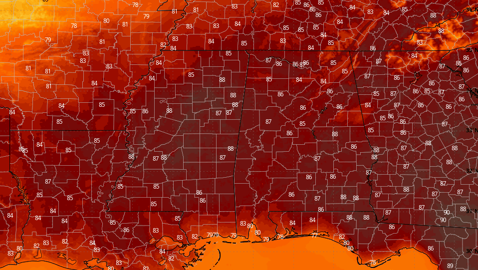
THURSDAY AND FRIDAY: Not much change; the air is relatively unstable, and we expect scattered to numerous showers and thunderstorms both days. Most of them will come from about noon until 10 p.m., and odds of any one spot seeing rain are 60 to 70 percent. The sun will be out at times, and highs will be mostly in the mid to upper 80s.
THE ALABAMA WEEKEND: The upper ridge begins to rebuild, so we expect a trend toward fewer afternoon showers and thunderstorms, especially by Sunday. We are forecasting a mix of sun and clouds both days with highs around 90 degrees.
FOOTBALL WEATHER: UAB kicks off the season with a Thursday night special at Legion Field in Birmingham, hosting Savannah State (kickoff is at 7 p.m.). A passing shower or storm is very possible during the first half of the game; otherwise, look for a humid night with temperatures falling into the 70s.
Saturday, Auburn takes on Washington in Atlanta in Mercedes Benz Stadium (2:30 p.m. Central kickoff). Outside the domed stadium, afternoon temperatures will be in the 87- to 90-degree range with the risk of a shower or thunderstorm.
Then, Saturday evening, Alabama will take on Louisville in Orlando (7 p.m. Central kickoff). The weather will be humid, and a shower or thunderstorm is possible during the game. The kickoff temperature will be near 80, falling into the upper 70s by the final whistle.
NEXT WEEK: The upper ridge means a hot first week of September; highs will be close to 90 degrees every afternoon with partly sunny days and mostly fair nights. Afternoon showers and storms are certainly possible, but they will be widely scattered.
TROPICS: A tropical wave is moving off the coast of Africa; the National Hurricane Center is now giving it a 60 percent chance of development over the next five days. This is a very long way from the U.S., and it remains to be seen whether this will stay out over open water or impact any land area.
Global models continue to suggest that the Atlantic basin will be more active in coming weeks, which makes sense as we near the traditional peak of the hurricane season.
ON THIS DATE IN 2005: Hurricane Katrina made landfall over southeast Louisiana at category three strength. Overall, at least 1,245 people died in the hurricane and subsequent floods, making it the deadliest United States hurricane since the 1928 Okeechobee hurricane. Severe property damage occurred in numerous coastal areas, such as Mississippi beachfront towns where boats and casino barges rammed buildings, pushing cars and houses inland; water reached 6 to 12 miles from the beach. Total property damage was estimated at $125 billion, roughly four times the damage wrought by Hurricane Andrew in 1992, tying Katrina with Hurricane Harvey of 2017 as the costliest Atlantic tropical cyclone on record.
BEACH FORECAST: Click here to see the AlabamaWx Beach Forecast Center page.
WEATHER BRAINS: You can listen to our weekly 90-minute netcast any time on the web, or on iTunes. This is the show all about weather featuring many familiar voices, including meteorologists at ABC 33/40.
CONNECT: You can find me on the major social networks:
Facebook
Twitter
Pinterest
Snapchat: spannwx
For more weather news and information from James Spann and his team, visit AlabamaWx.


