Scott Martin: Nice Saturday for Alabama; excessive rain next week
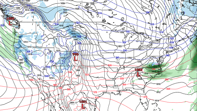
SUNDAY: A low will pass by to our north on Sunday. Showers will be likely and maybe a few embedded thunderstorms are possible, but no strong or severe storms are expected. Highs will be in the mid-60s to the upper 70s from north to south.
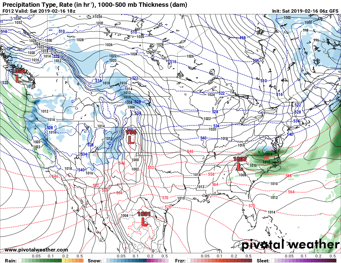
RAINY WEEK: Showers will move out of the area during the morning on Monday and we’ll get a small break from the rain until the evening and overnight hours. Showers will start developing out ahead of the next impulse, bringing a good chance of rain to Alabama starting around midnight. Highs will be in the mid-50s to the mid-60s from northwest to southeast.
The rain builds across the Southeast as troughing to our west mixes with a stalled boundary that will start moving northward through the area. It will be a very wet day, with rain likely throughout Alabama. Rainfall amounts look to be around one-quarter inch in the southeast corner to as high as 2 1/2 inches in the northwestern parts. Highs will be in the lower 50s to the lower 60s.
Wednesday’s story is not much different. Rain continues throughout Alabama with some heavier rains falling over the north and northwestern parts of the state. Rainfall amounts for Wednesday are projected to range from one-quarter inch in the southeast to as high as 2 1/2 inches in the northern parts of central Alabama. With the boundary now over the northern parts of the state, we could have some embedded thunder, but no severe weather expected at this time. Highs will be in the mid-60s to the mid-70s from north to south.
Rain continues on Thursday, but the good news is that the latest run is showing a little less coverage, with rain chances topping out in the 50 to 60 percent range. As for now, Thursday totals are projected to be less than 1 inch across central Alabama. Highs will be in the upper 50s to the lower 70s from northwest to southeast.
We’ll continue to have a chance of rain on Friday, but the coverage continues to lessen. Rain chances will be only around 40 percent and totals are projected to be at and under 1 inch. Highs will be in the lower 60s to the lower 70s.
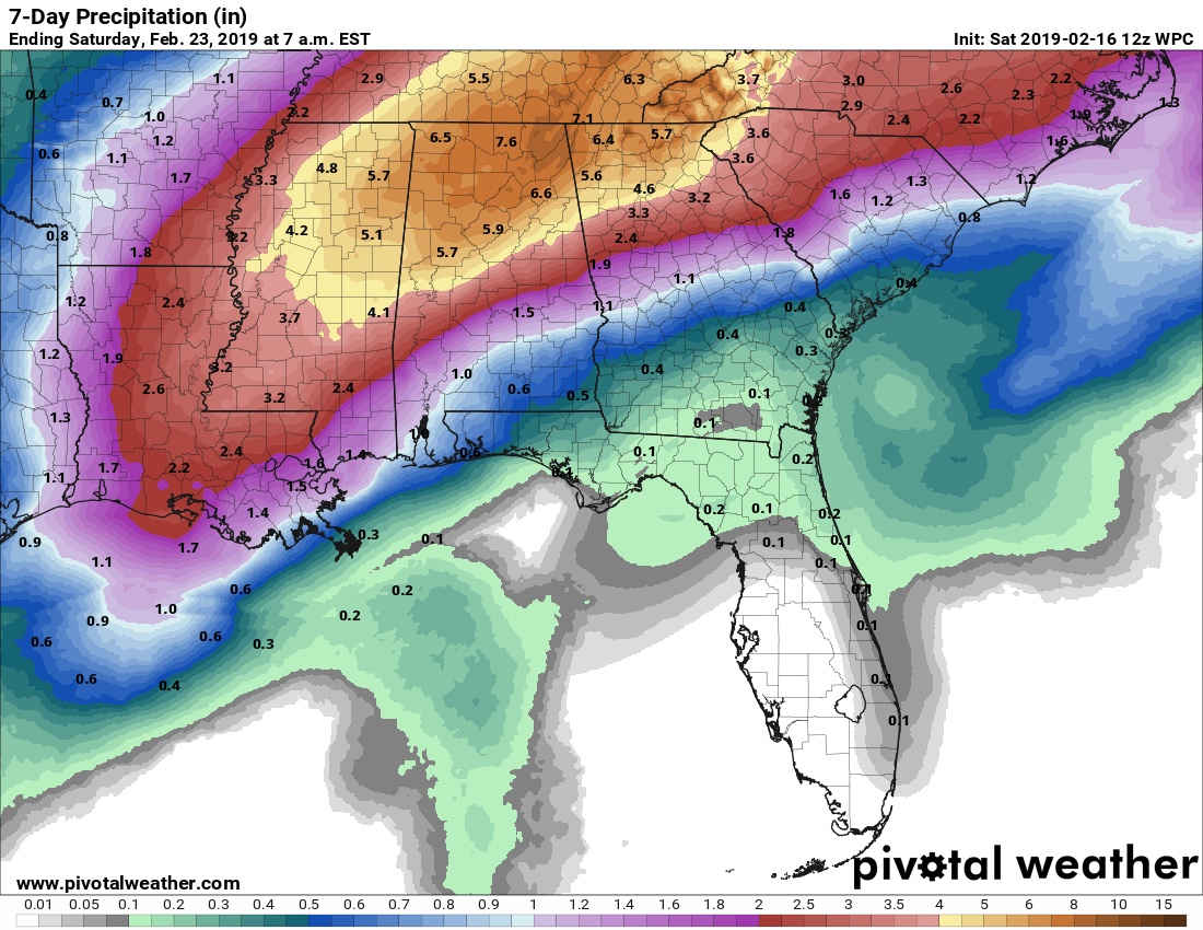
FLOODING POTENTIAL: Even though the projected rainfall totals for the next seven days have come down some, we still have the risk of some flooding, especially in flood-prone areas. If you are in or near one of those areas, go ahead and be prepared for the potential of flash flooding, as rainfall will not be leaving Alabama until late next Sunday afternoon.
For more weather news and information from James Spann, Scott Martin and other members of the James Spann team, visit AlabamaWx.


